National Hurricane Center Tracks Multiple Active Storms As October Season Intensifies
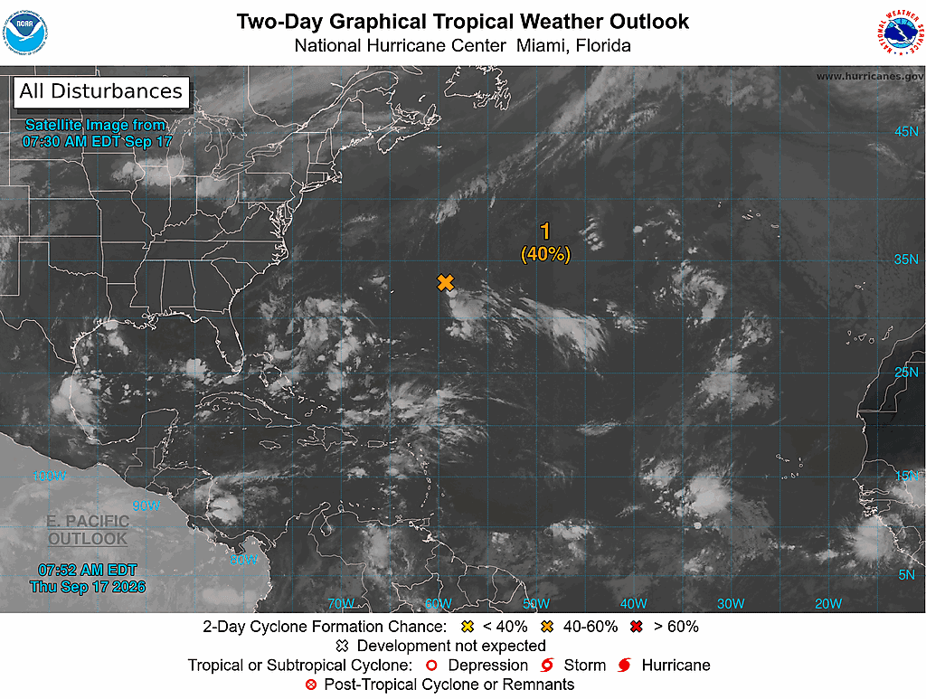
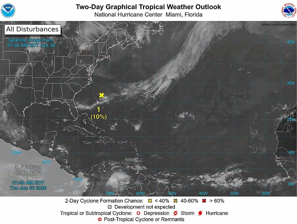
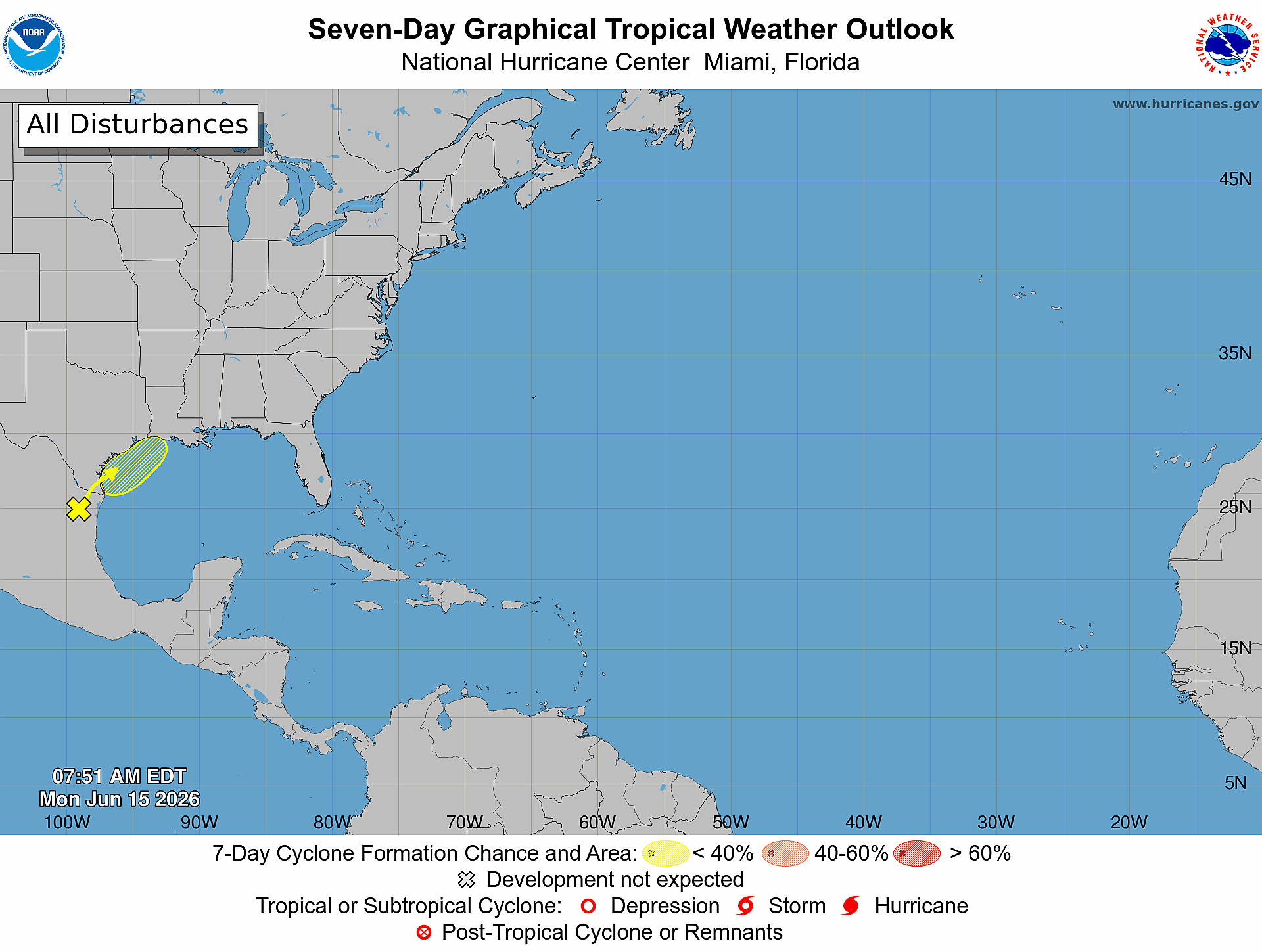
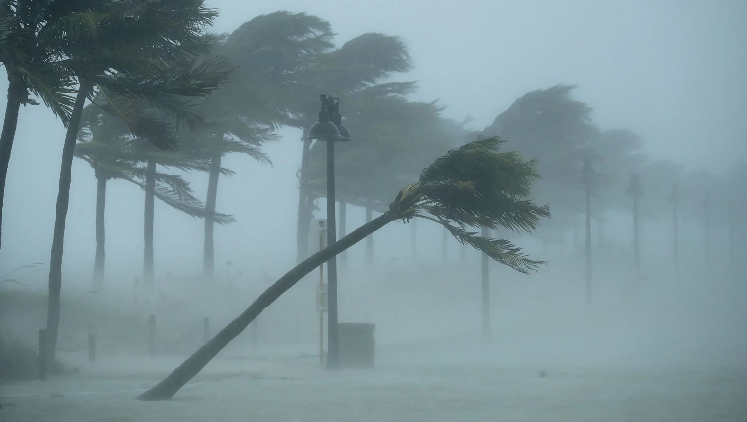
The National Hurricane Center is monitoring three active tropical systems as of October 7, 2026, with conditions evolving rapidly across both the Atlantic and Eastern Pacific basins. Tropical Storm Isaias is intensifying quickly in the Gulf of America, while Hurricane Rachel maintains strength in the Eastern Pacific, and Tropical Storm Simon has just formed south of Mexico. These simultaneous systems underscore the importance of hurricane preparedness and understanding how tropical cyclones can impact property and coastal communities.
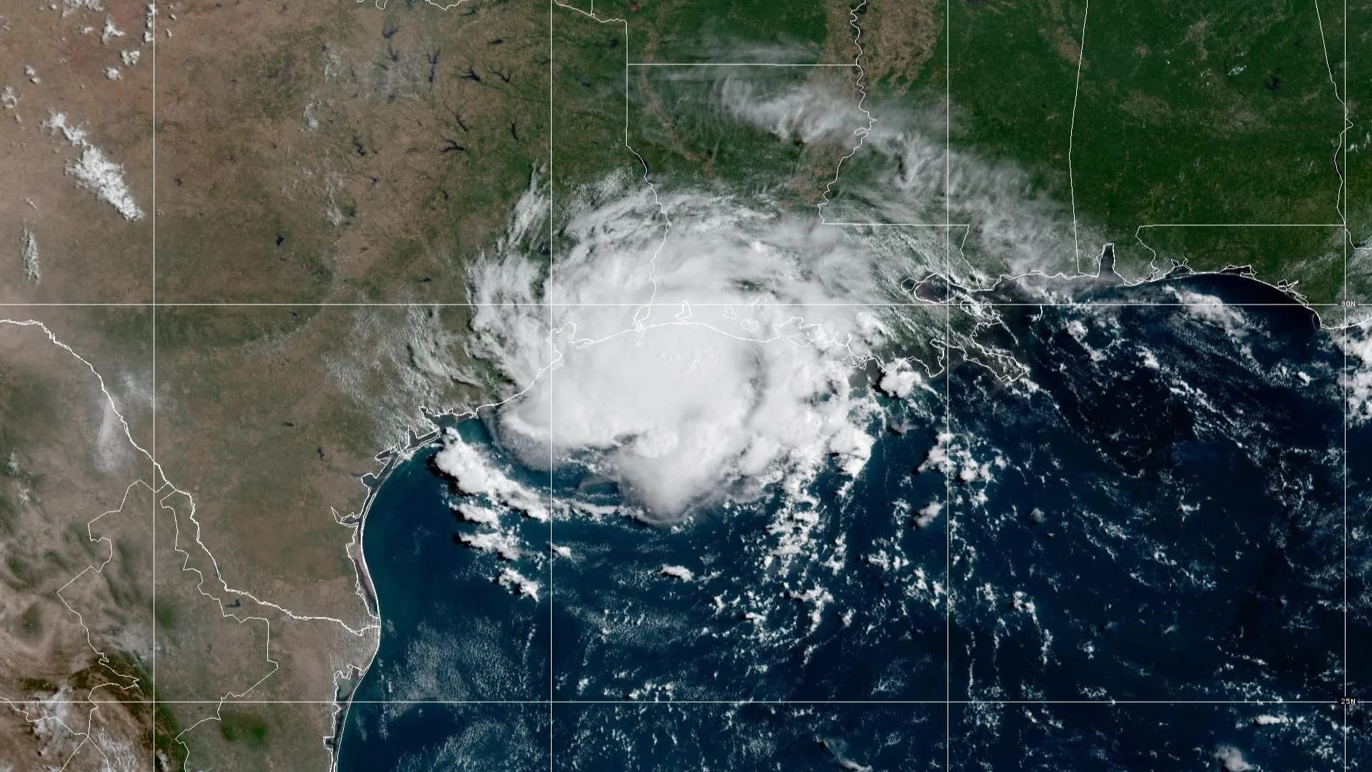
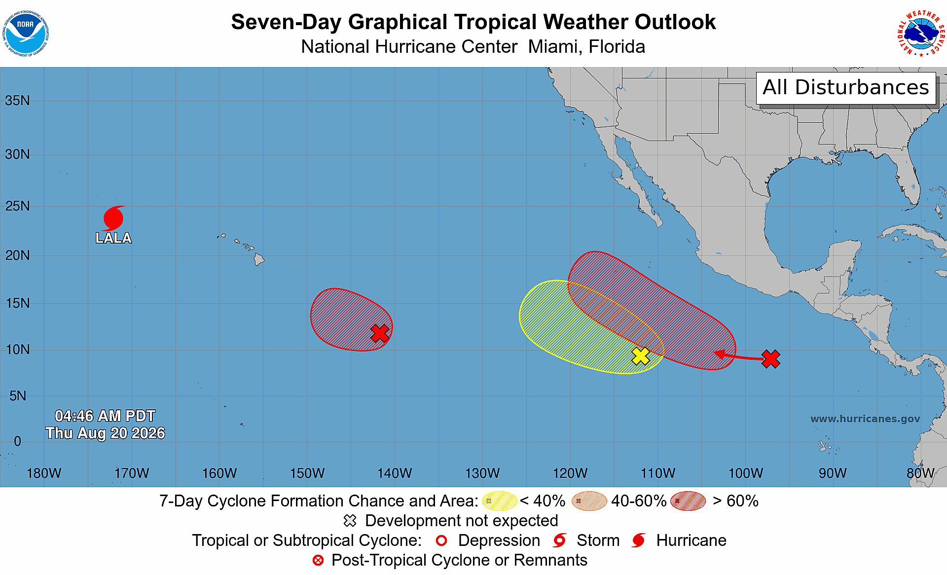
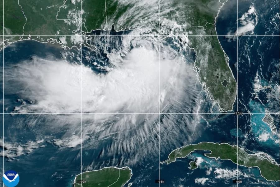
Isaias is the most immediate concern for Gulf Coast residents. Located at 22.7 degrees North, 92.9 degrees West, the system is moving east-northeast at 8 miles per hour with maximum sustained winds of 65 miles per hour. The National Hurricane Center forecasts rapid intensification, with Isaias expected to reach hurricane strength by Thursday morning. Current minimum central pressure stands at 994 millibars, indicating an organized and strengthening system. The storm's trajectory places it on a collision course with the northern Gulf Coast, making it critical for property owners in Louisiana, Mississippi, Alabama, and Florida to monitor official advisories and prepare for potential impacts including storm surge, heavy rainfall, and damaging winds. Hurricane Rachel, meanwhile, maintains hurricane intensity in the Eastern Pacific approximately 1,000 miles west-southwest of the California coast. With maximum sustained winds of 80 miles per hour and a minimum central pressure of 979 millibars, Rachel is moving west-northwest at 7 miles per hour. Although Rachel poses no direct threat to the continental United States at this time, the system demonstrates the active nature of the 2026 Pacific hurricane season and serves as a reminder that tropical cyclone activity can persist well into the autumn months.

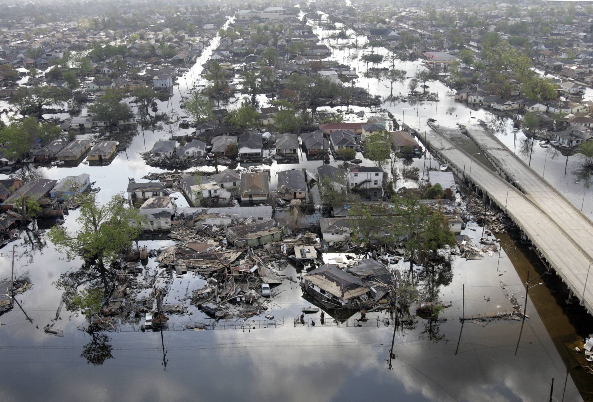
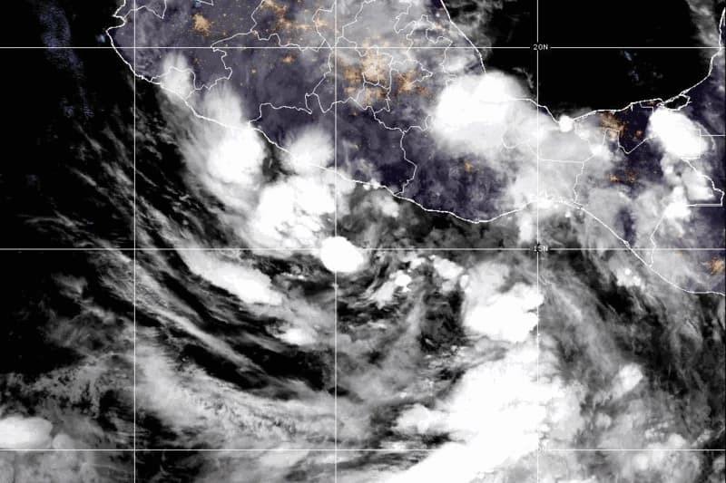
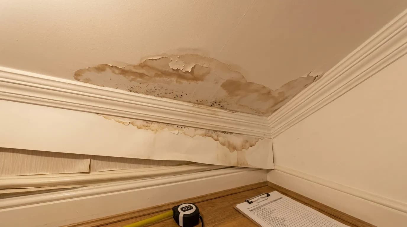
Tropical Storm Simon, the newest system in the National Hurricane Center's active roster, recently transitioned from a tropical depression to tropical storm status. Located at 15.5 degrees North, 101.6 degrees West south of Mexico, Simon carries maximum sustained winds of 40 miles per hour and is moving west-northwest at 8 miles per hour. The system's minimum central pressure of 1004 millibars indicates it remains relatively weak, though environmental conditions south of Guatemala suggest potential for gradual development over the coming days. Simon's track will be important to monitor for residents of Mexico and Central America, as well as for maritime interests in the Eastern Pacific. For property owners in Florida, Texas, and other hurricane-prone regions, these active systems reinforce the critical importance of storm damage preparedness and understanding your insurance coverage. Five Star Claims Adjusting emphasizes that homeowners should review their policies now, before storm season reaches its peak. Understanding what your homeowners insurance covers, including wind damage, water damage, and storm surge impacts, can make the difference between swift claim resolution and prolonged disputes when disaster strikes. Many policyholders are unaware of coverage gaps or exclusions until they file a claim after a hurricane or tropical storm causes damage to their property.

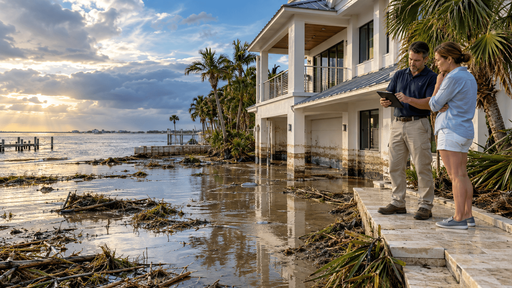
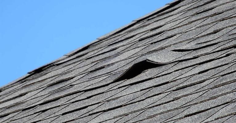
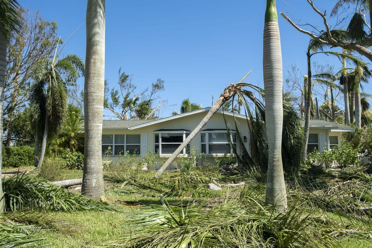
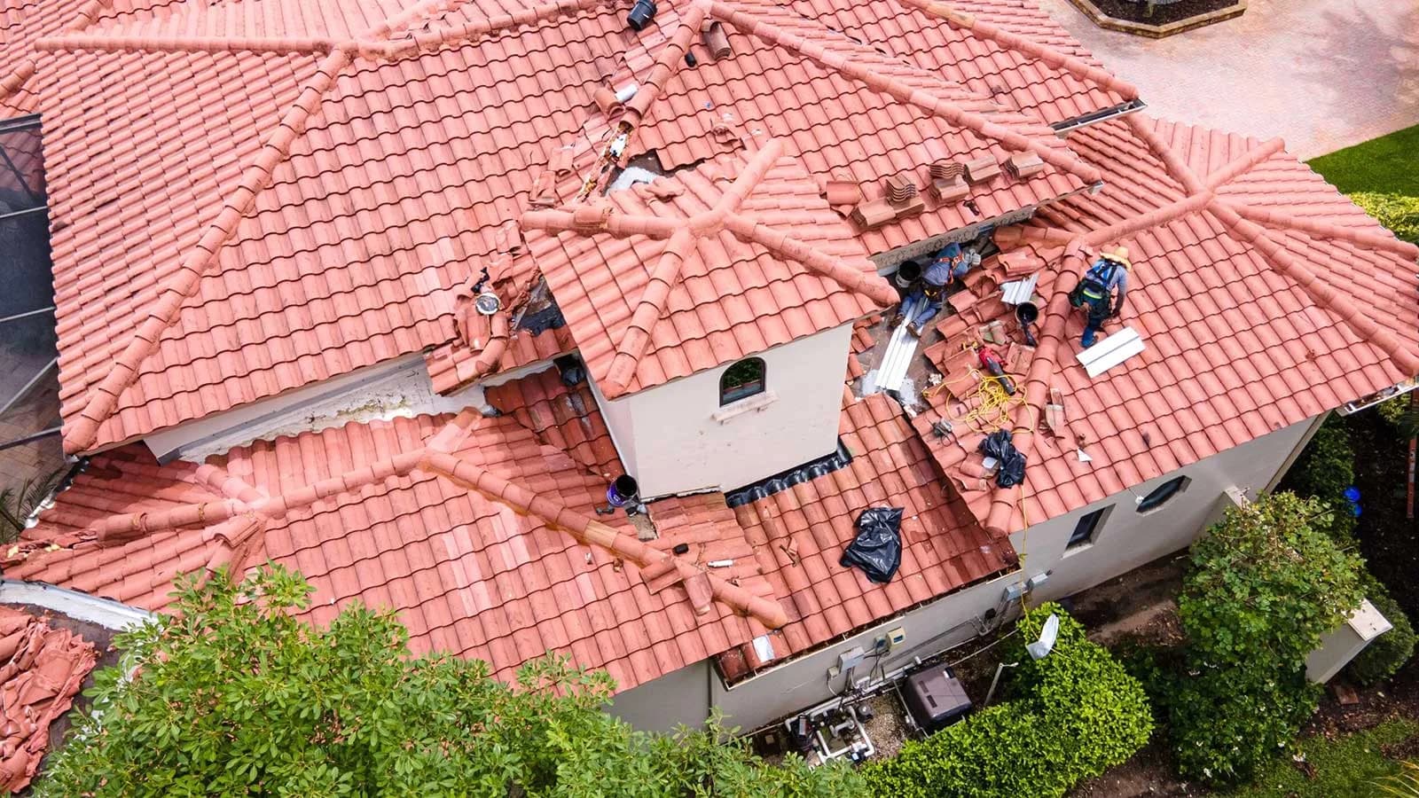
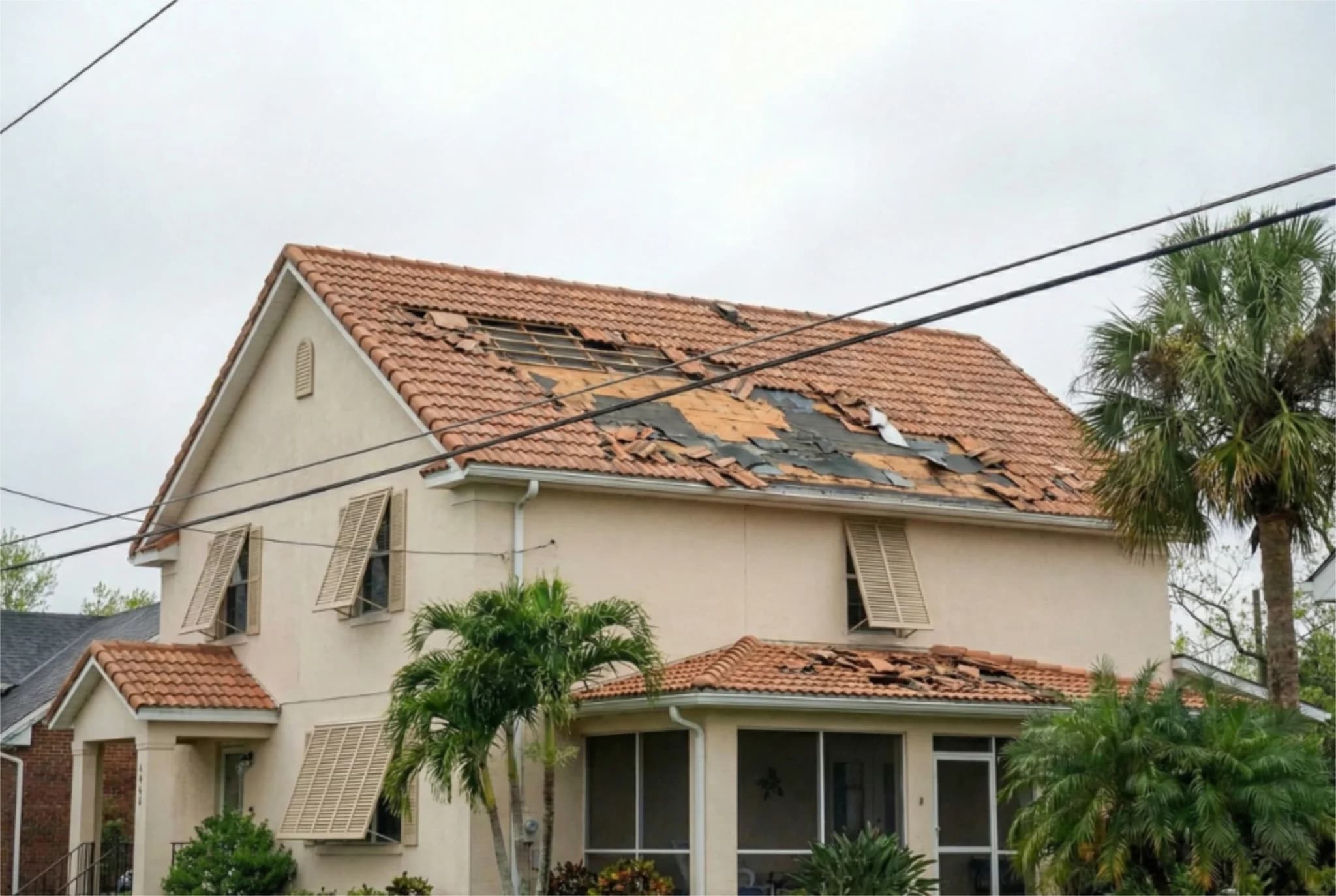
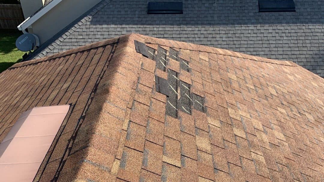
The National Hurricane Center provides detailed forecasts, wind speed probabilities, and storm surge inundation maps to help residents understand potential impacts. These tools are essential for emergency planning and property protection. Residents in forecast zones should secure loose outdoor items, trim trees, ensure gutters are clear, and verify that their roofs are in good condition. Documentation of your home's condition before a storm, through photographs and video, can be invaluable when filing an insurance claim for storm damage. Five Star Claims Adjusting specializes in helping Florida and Texas homeowners maximize their insurance claims following hurricane and tropical storm damage. Whether dealing with roof damage, water intrusion, wind damage, or other storm-related losses, our public adjusting team works on behalf of policyholders to ensure fair claim settlements. We understand the complexities of homeowners insurance and the tactics some carriers use to minimize payouts. Our role is to advocate for your rights and help you recover the full value of your claim.

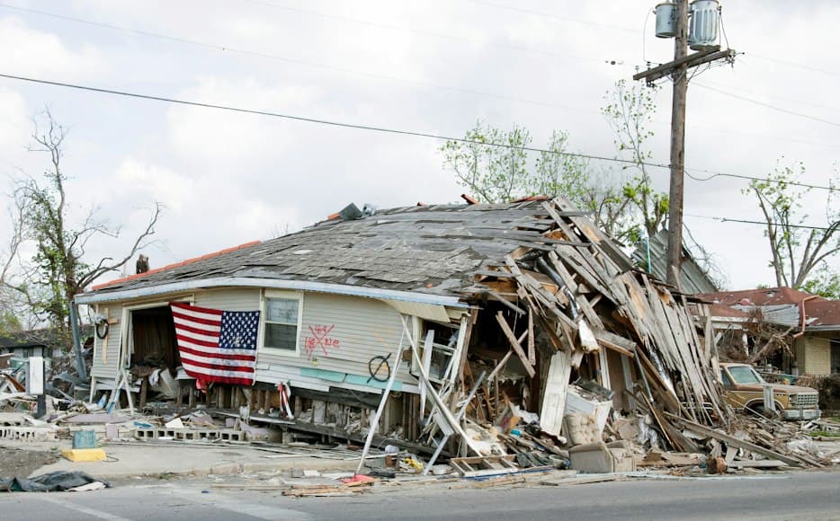
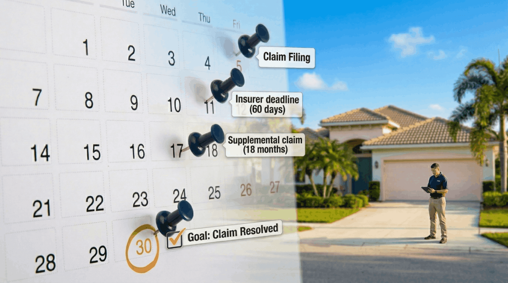
As Isaias, Rachel, and Simon move across their respective basins, residents should stay informed through official National Hurricane Center updates, local National Weather Service offices, and emergency management agencies. Evacuation orders, watches, and warnings are issued based on the latest forecast data, and compliance with these directives can save lives. For those in affected areas, now is the time to finalize evacuation plans, stock emergency supplies, and ensure that important documents and insurance information are accessible. The convergence of multiple tropical systems in October 2026 serves as a powerful reminder that hurricane season extends through November, and preparedness must remain a priority. Five Star Claims Adjusting encourages all property owners to take proactive steps: document your home's current condition, review your insurance policy, understand your coverage limits and deductibles, and know how to file a claim if disaster strikes. When tropical storms and hurricanes cause damage, having expert guidance from a public adjuster can mean the difference between a fair settlement and a denied or underpaid claim. Contact Five Star Claims Adjusting today to discuss your storm damage concerns and learn how we can help protect your property and your financial interests.
This article has been sourced from press releases and cross-referenced with multiple websites. Facts originally seen at Source.