Coastal Areas Face Greatest Risk As Tropical Moisture Streams Toward East Coast
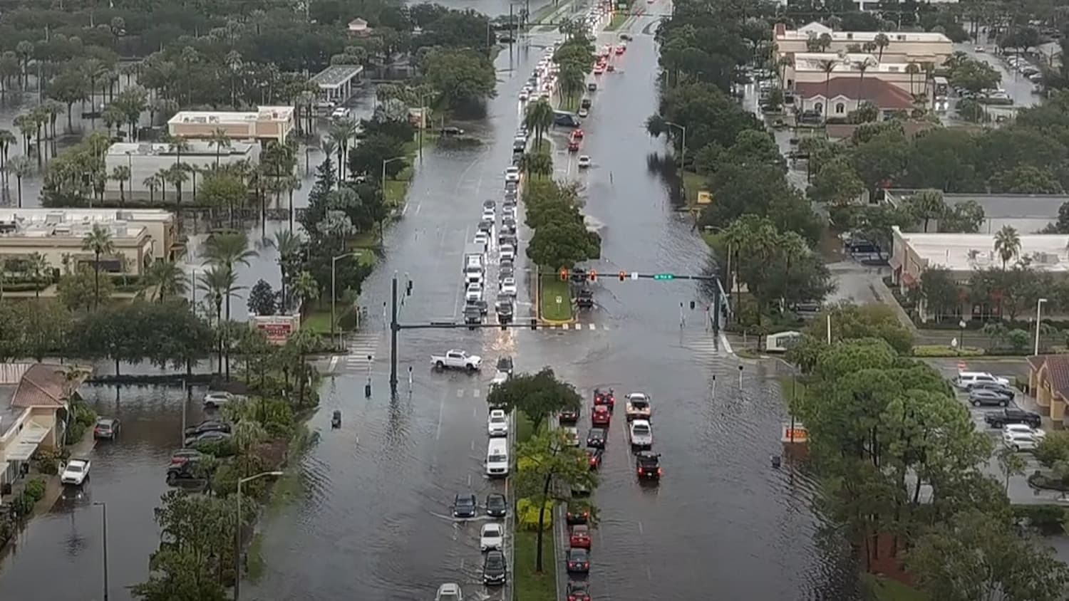
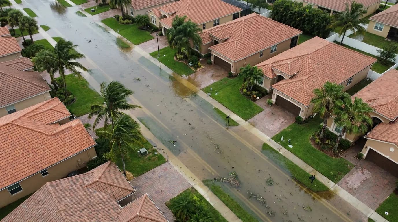
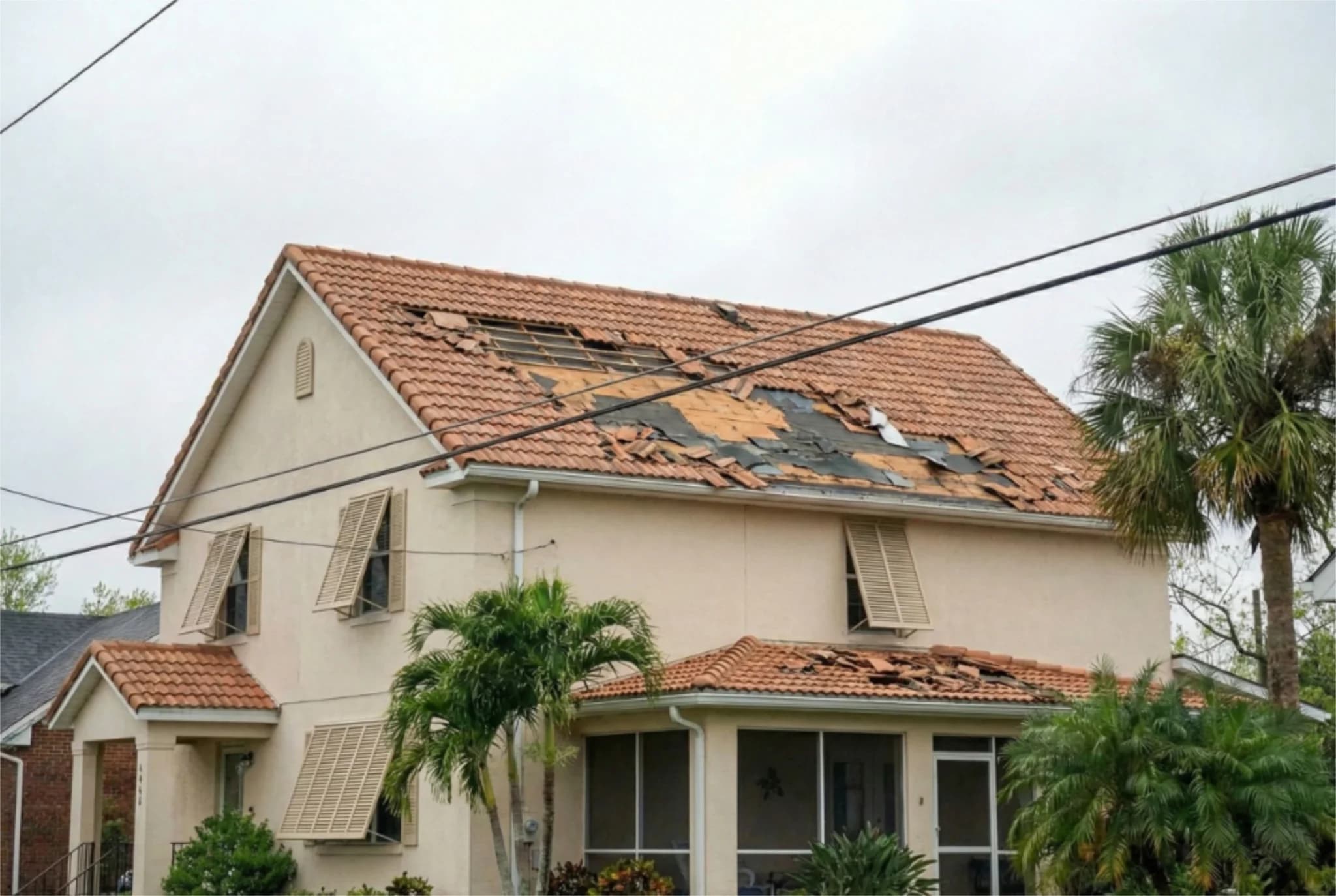
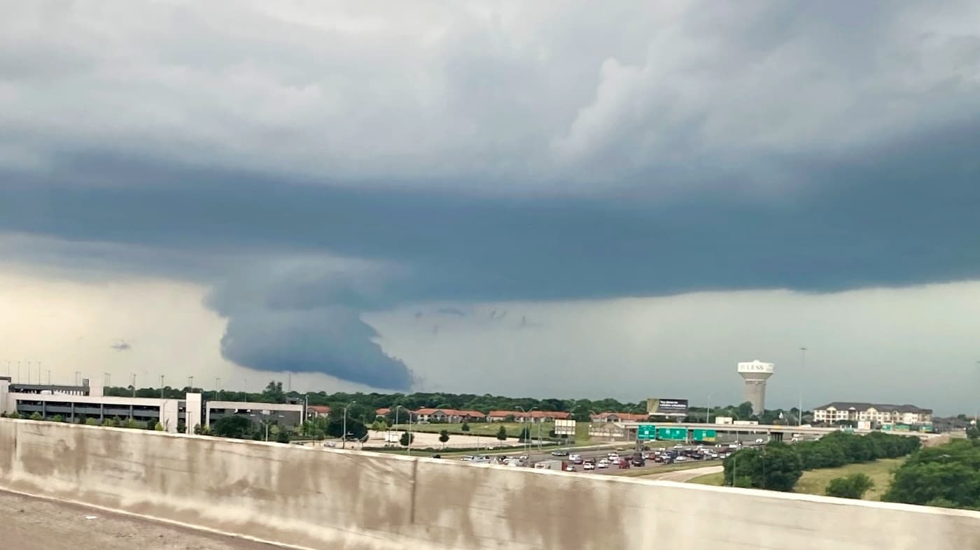
Central Florida is heading into a stretch of unsettled weather that will test the region's already saturated ground and swollen waterways. Breezy winds, rounds of showers, and the potential for heavy rain are expected through the end of the week, with some areas picking up several inches of rainfall. The greatest concern for heavier precipitation and renewed flooding is along the coast, where persistent onshore winds could push repeated bands of rain inland and compound existing water management challenges.
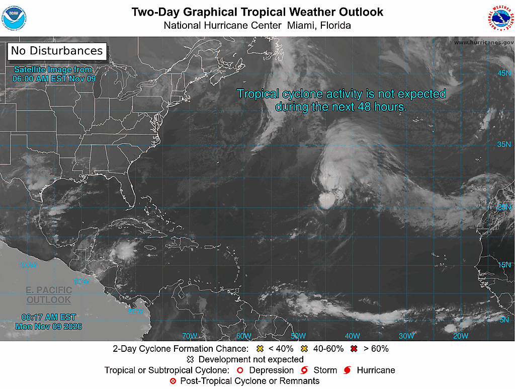
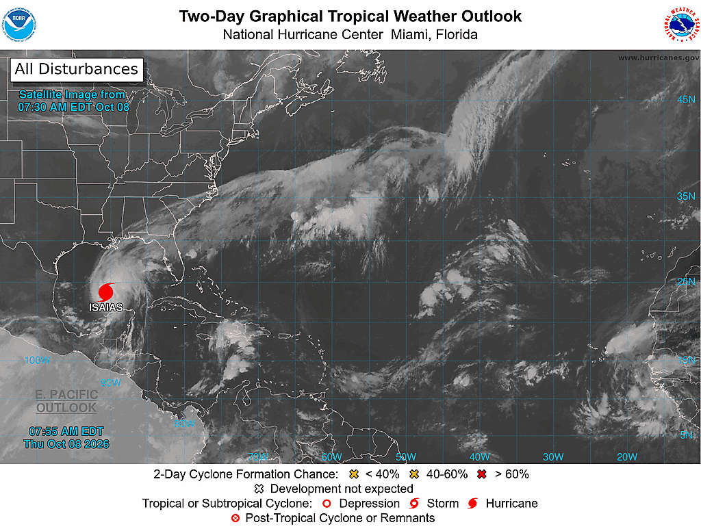
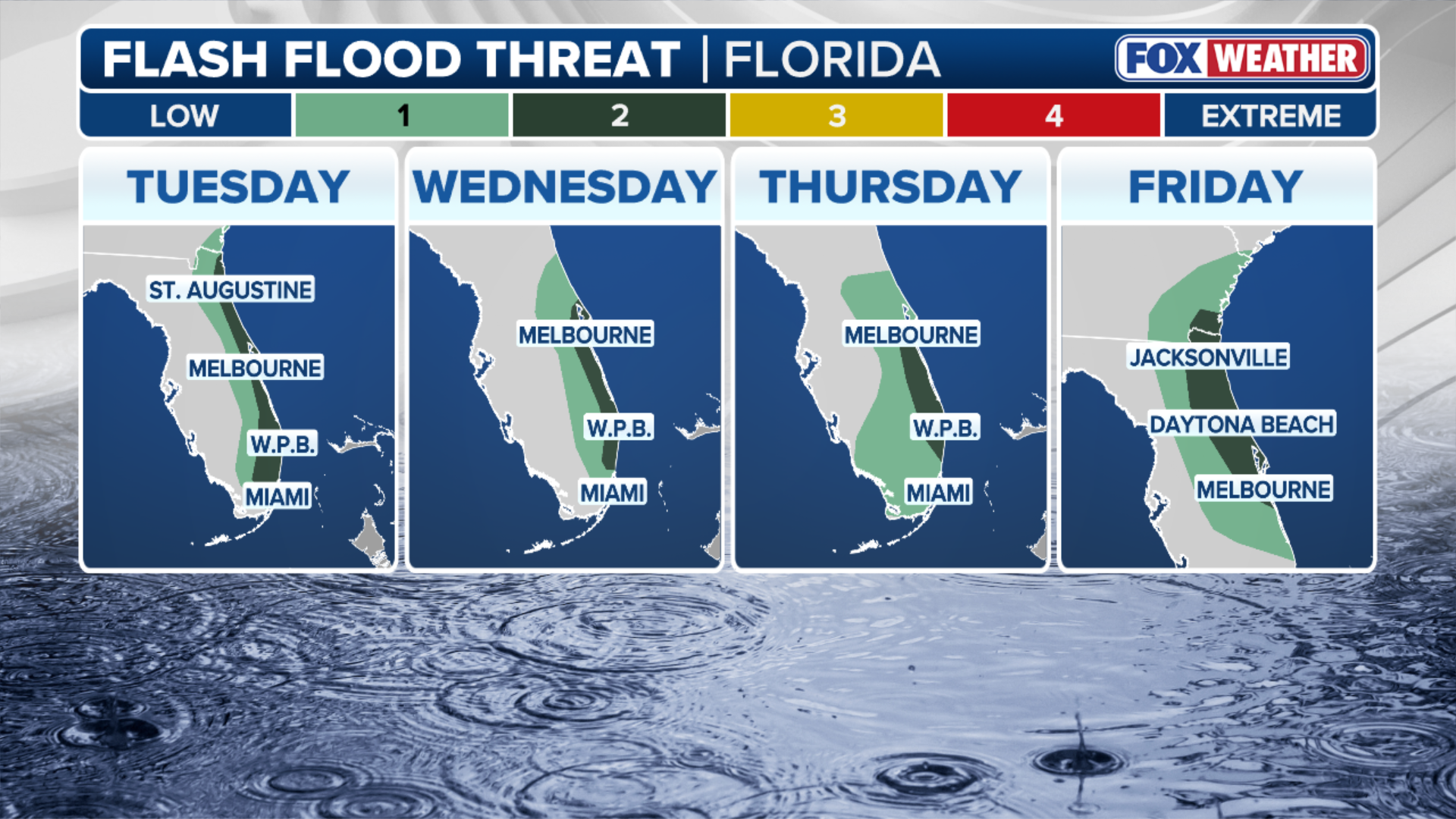
Northeast winds will pick up on Monday, with sustained speeds around 15 mph and gusts reaching 20 to 25 mph. A few showers will move onshore throughout the day, with rain chances increasing tonight and into Tuesday morning. Tuesday looks significantly wetter, with rain chances climbing to 40 percent to 80 percent across Central Florida. Some showers could produce heavier downpours, occasional lightning, and locally gusty winds of 30 to 40 mph. Rainfall totals could reach 2 to 4 inches in isolated spots through Tuesday night, with the highest potential along the coast. The unsettled pattern is expected to continue Wednesday through Friday as deep tropical moisture streams toward the East Coast. Rounds of heavy showers could move onshore, bringing widespread rainfall totals of 2 to 4 inches through Friday. Some isolated areas could receive 5 to 7 inches or more. The focus for the heaviest rain and greatest flooding potential will remain along the coast, where onshore-moving rain bands could repeatedly develop and push inland.
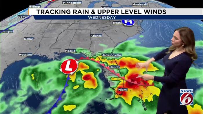
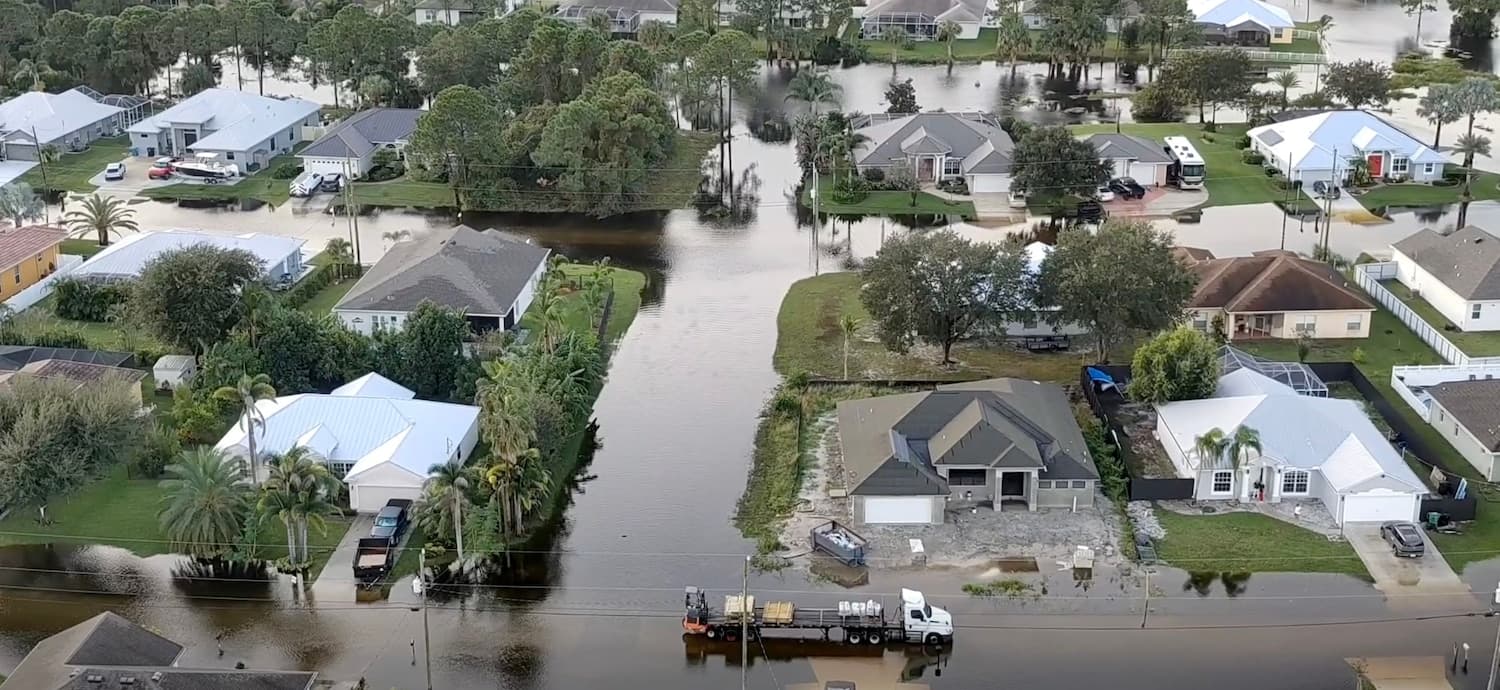
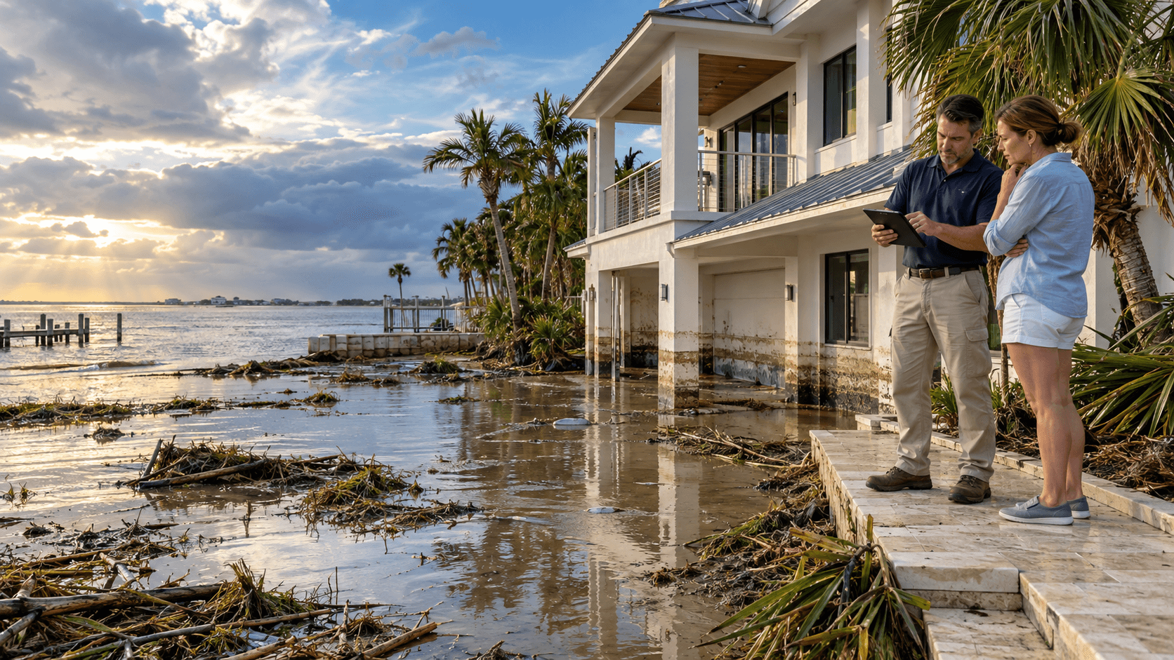
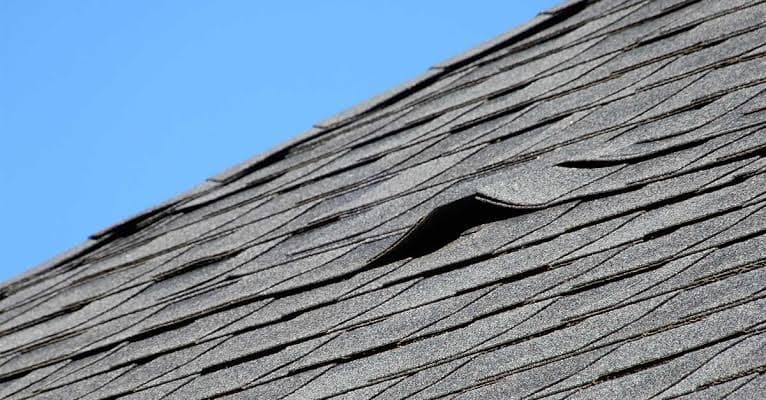
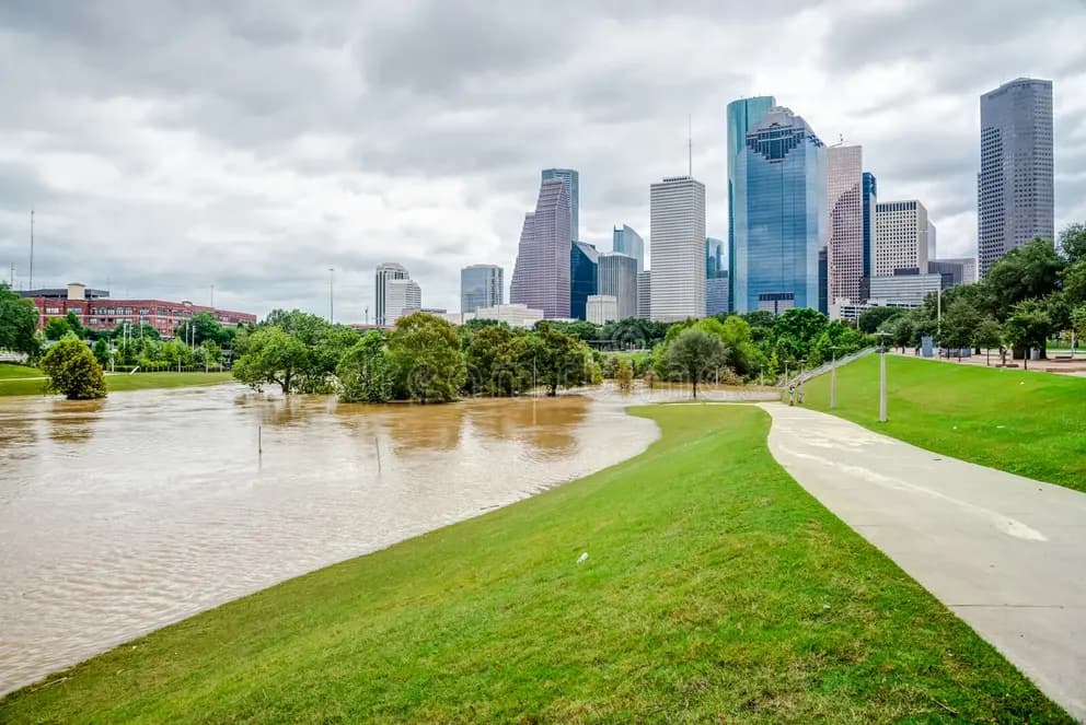
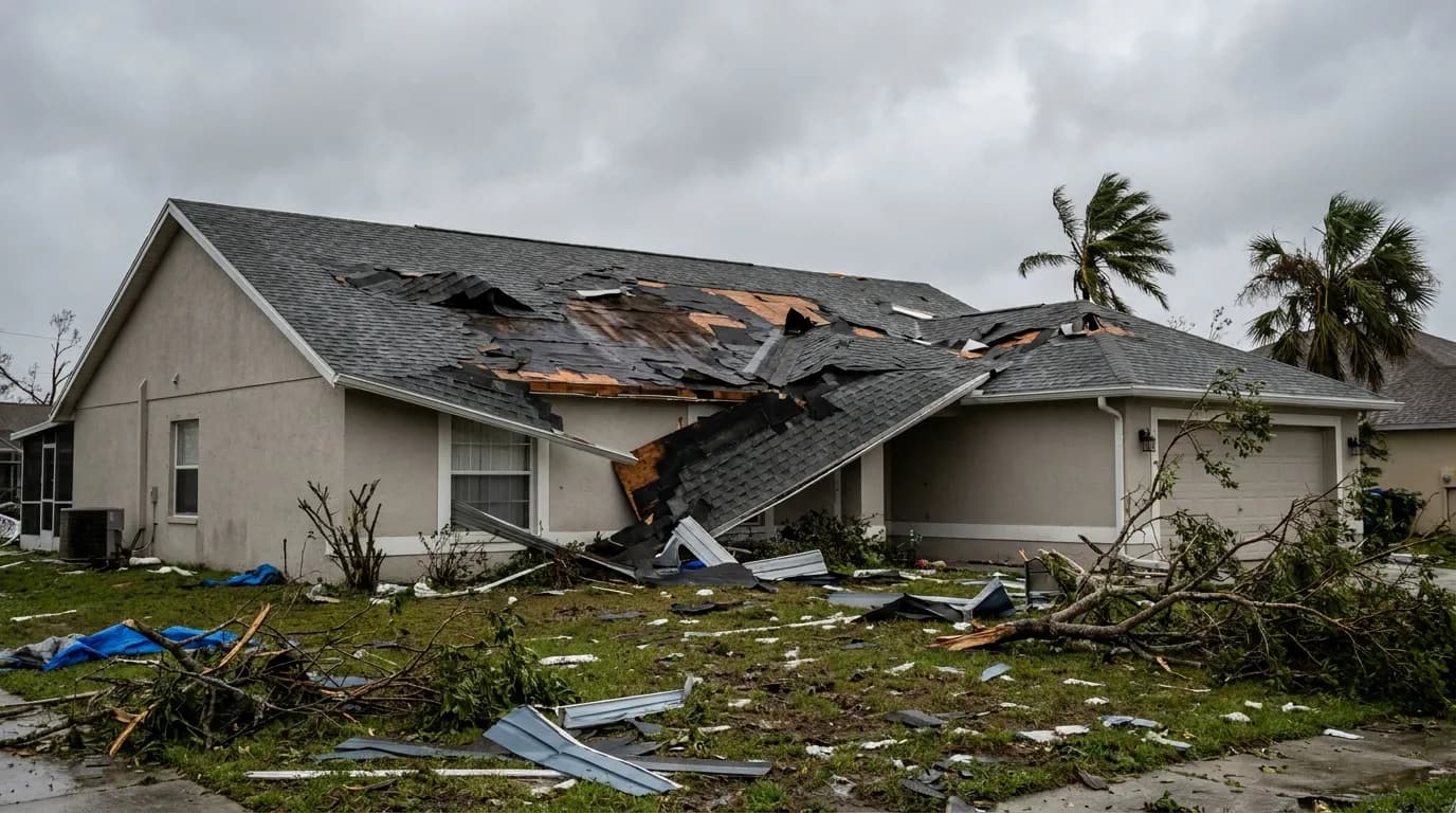
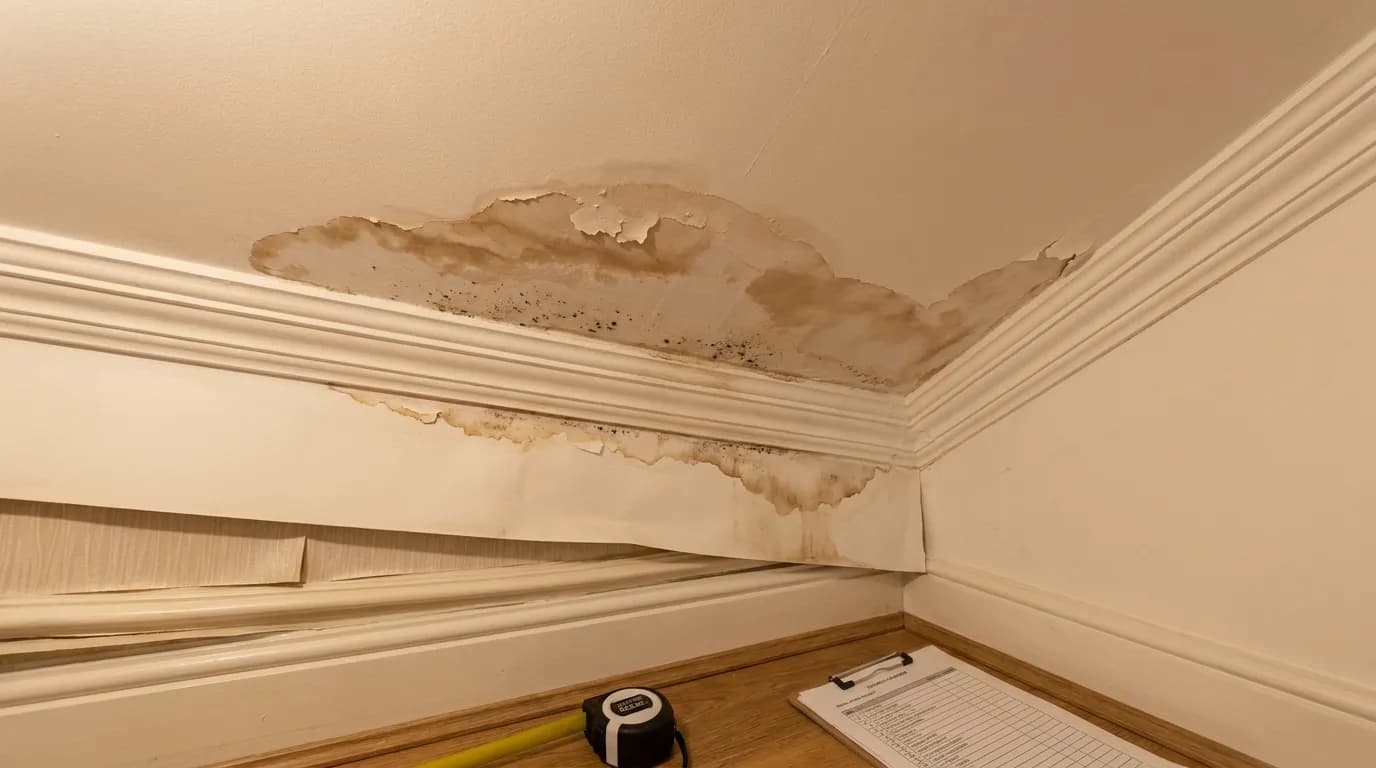
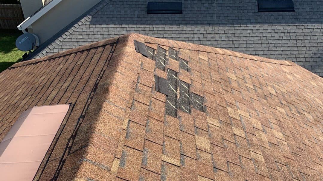
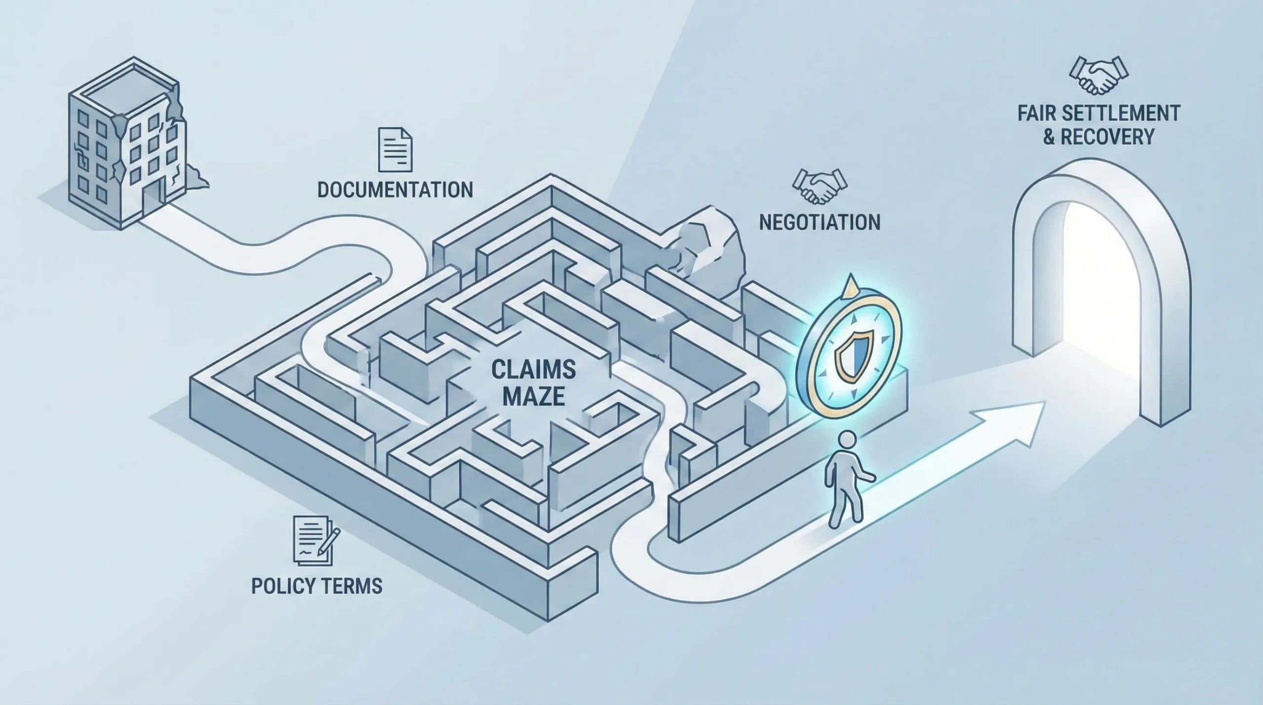
The Weather Prediction Center has placed parts of East Central Florida under a Marginal to Slight Risk for excessive rainfall, or Levels 1 and 2 out of 4. This means periods of heavy rain could lead to flooding, particularly in areas that receive repeated downpours. That much rain could lead to flooding, especially on roads and in low-lying areas. Forecast confidence remains low on exactly where the heaviest rain bands will set up, so rainfall totals could vary significantly from one location to another. Extensive flooding continues along portions of the St. Johns River following exceptional rainfall upstream in recent weeks. Water levels will take time to recede, so some communities could continue dealing with high water even as the latest rounds of rain move through. For property owners in flood-prone areas, this extended wet pattern underscores the importance of understanding your homeowners insurance coverage and documenting any damage that occurs. Five Star Claims Adjusting can help Florida residents navigate storm damage claims and ensure they receive fair compensation for water and wind damage to their properties.
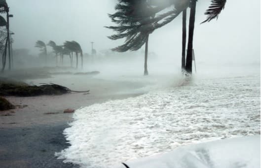
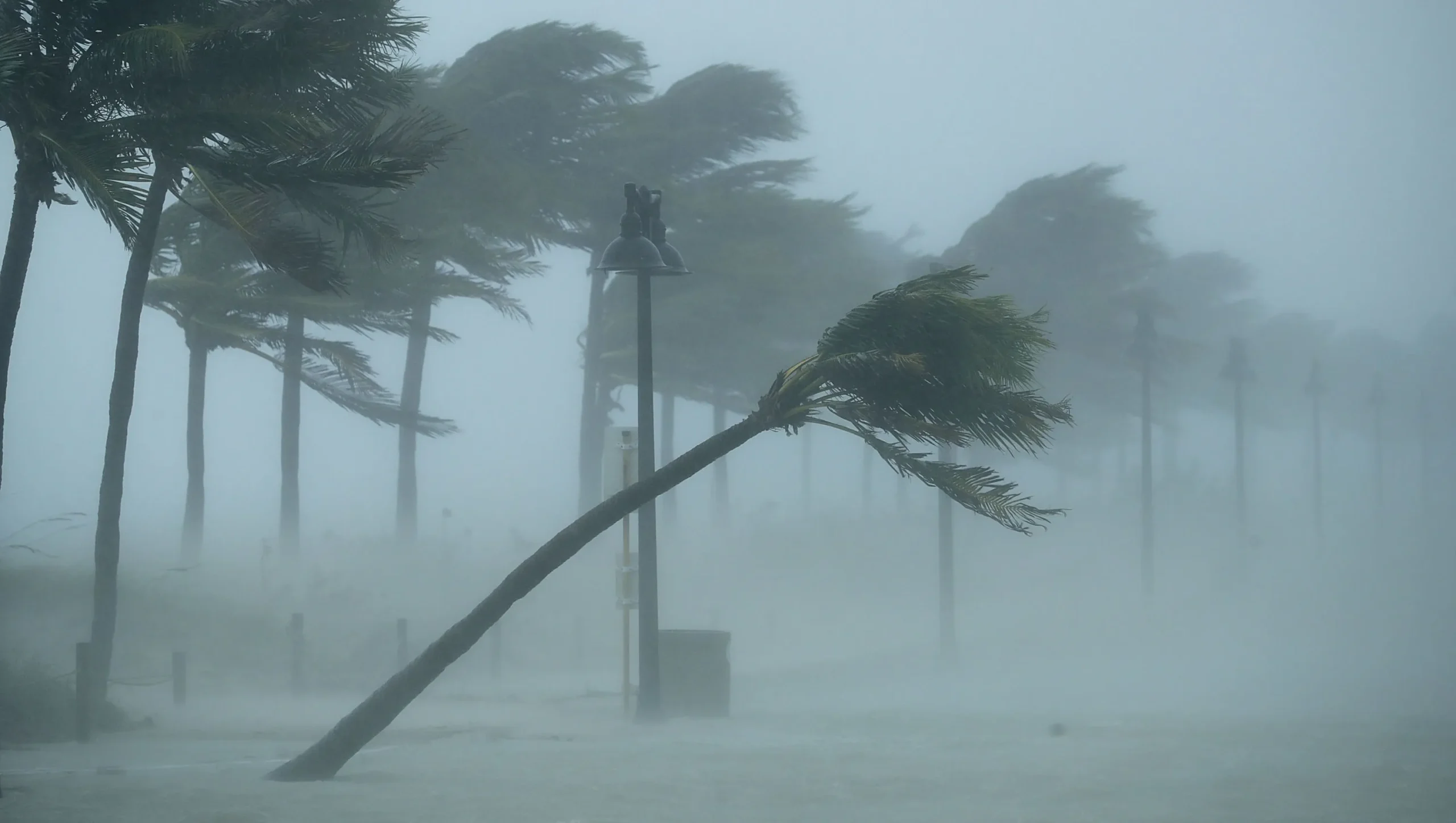
The persistent onshore winds will also create hazardous conditions along the coast. Winds and ocean waves are expected to build through the week, producing rough, pounding surf and possible minor beach erosion. Residents and visitors should exercise caution near the water and avoid unnecessary exposure to coastal areas during the heaviest rain and wind periods. Boaters should secure vessels and avoid venturing offshore until conditions improve. For those dealing with property damage from this weather event or previous storms, Five Star Claims Adjusting specializes in helping homeowners and business owners maximize their insurance claims and navigate the often complex process of storm damage assessment and recovery.
This article has been sourced from press releases and cross-referenced with multiple websites. Facts originally seen at Source.