Central Pacific Disturbance Signals Major Development Risk
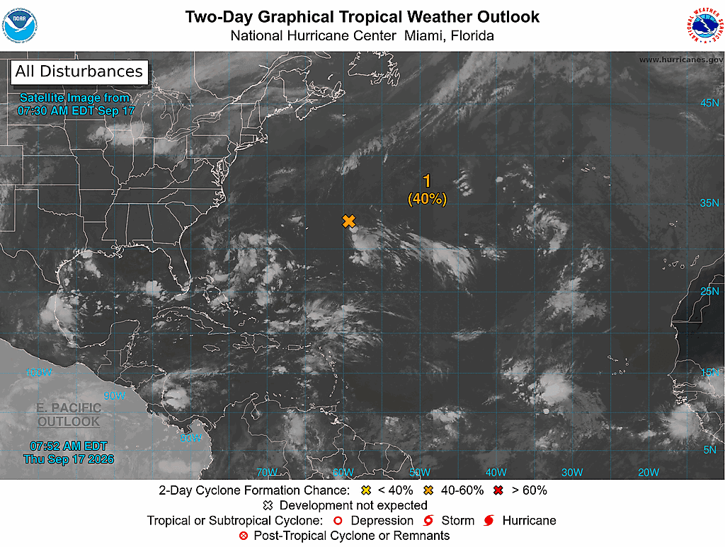
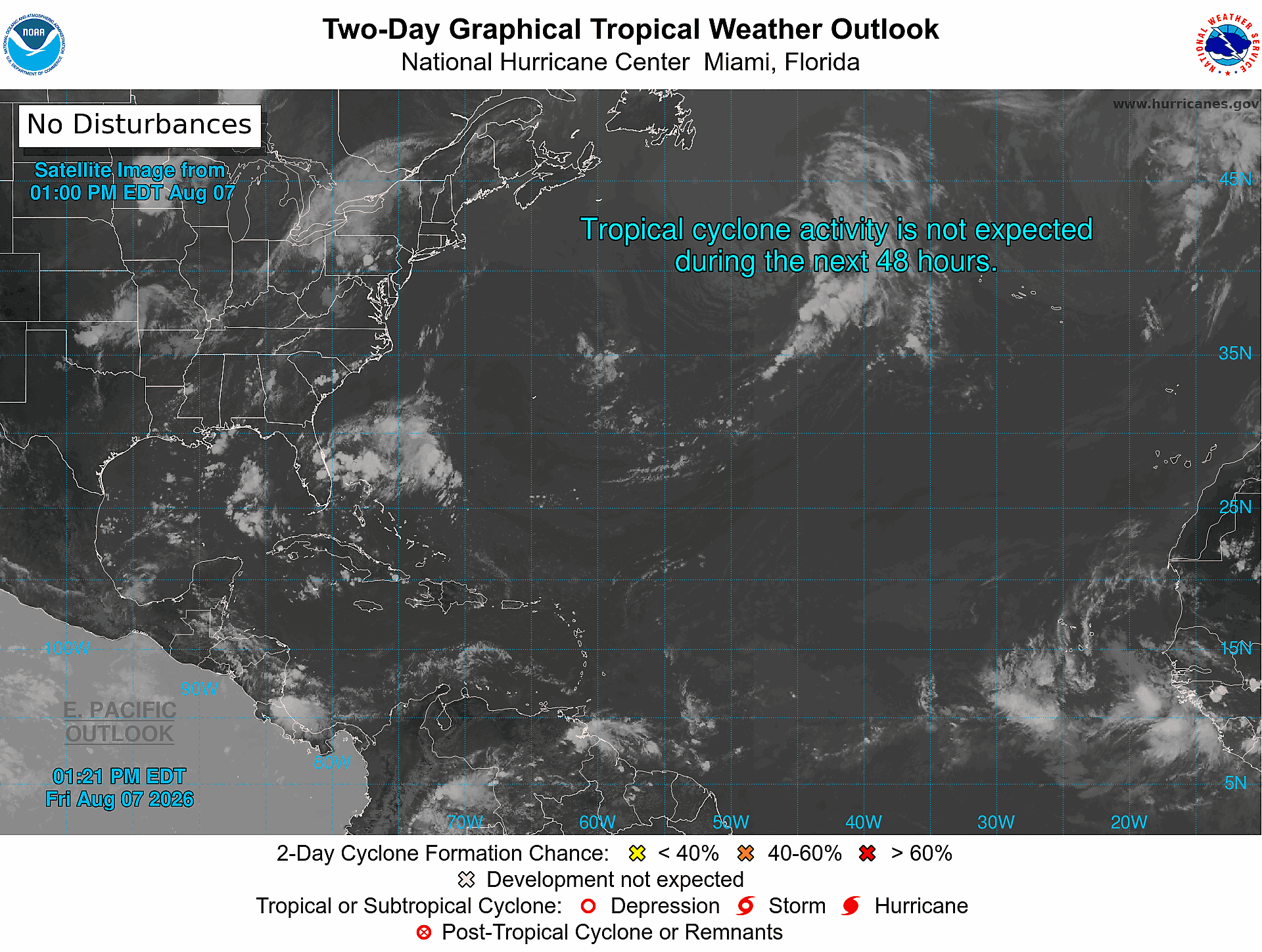
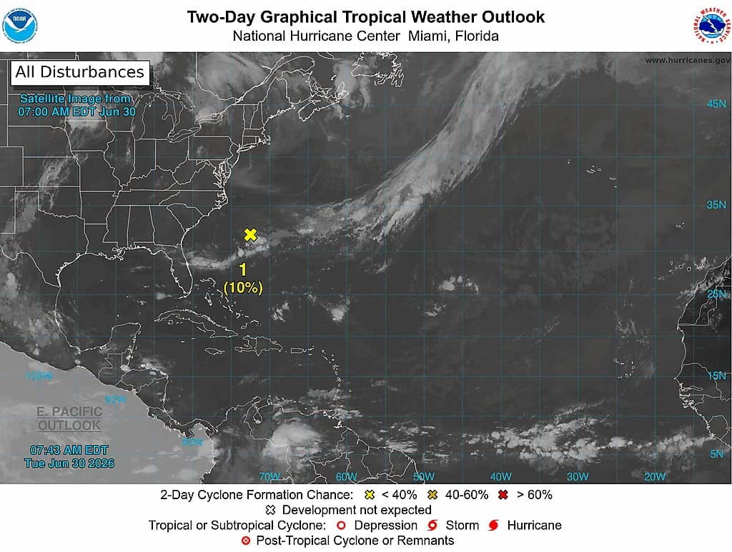
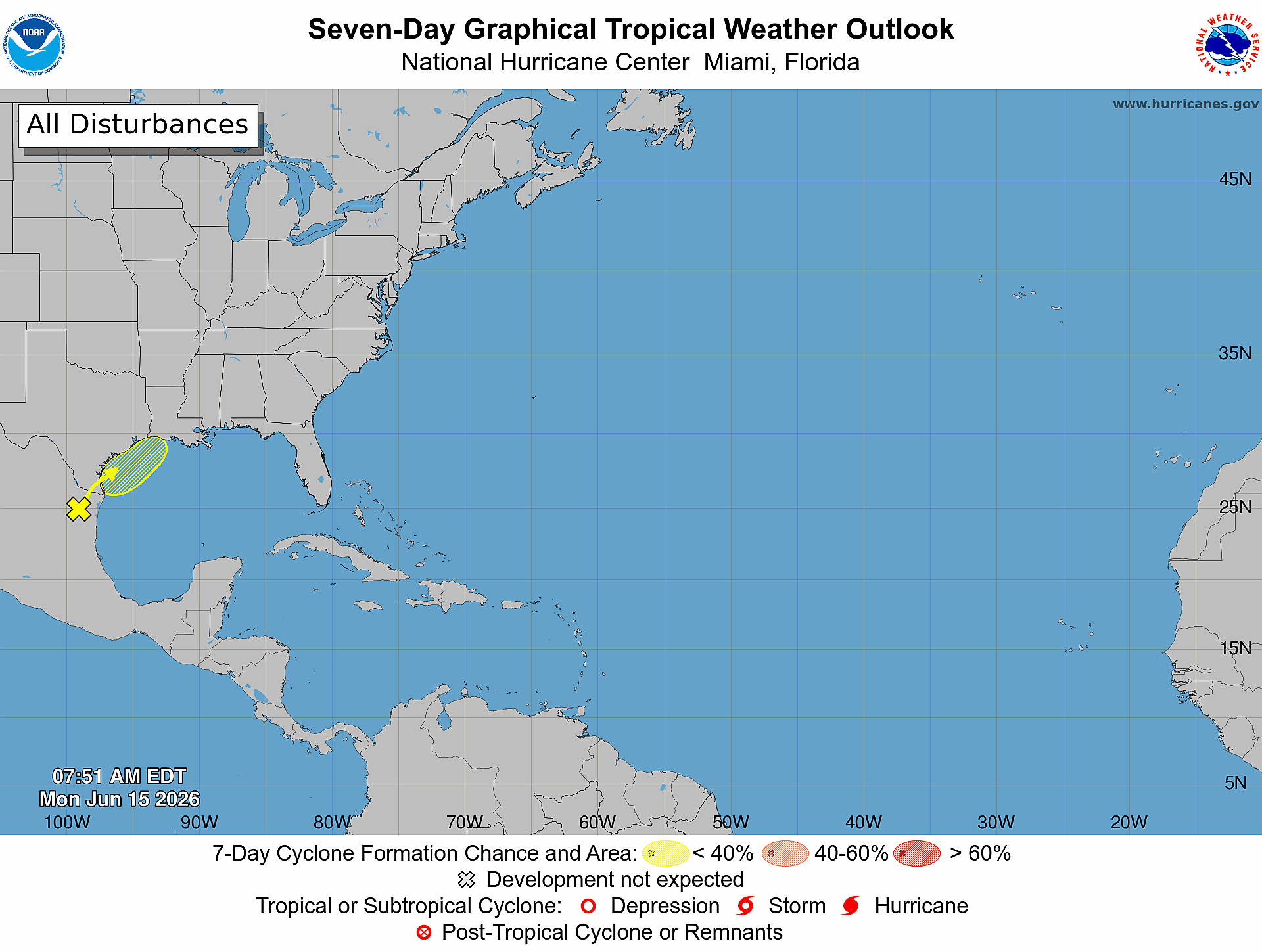
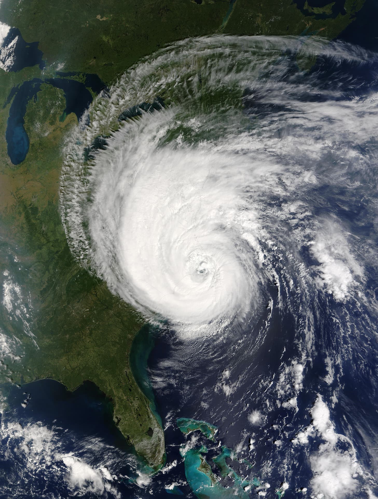
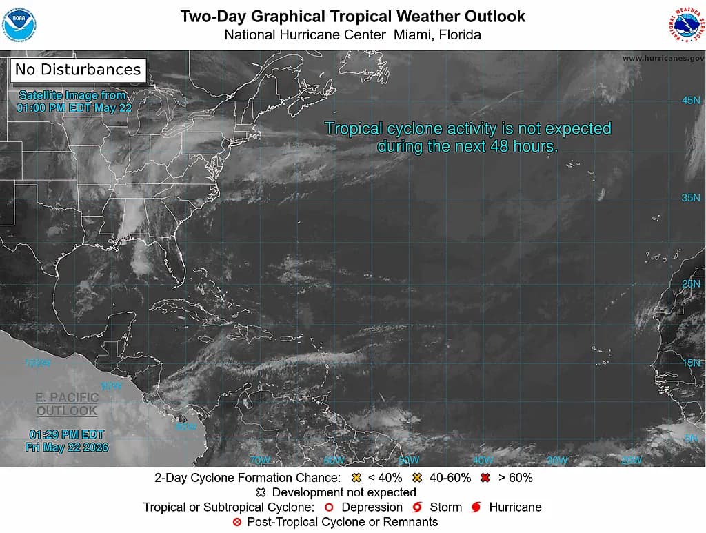
The National Hurricane Center’s Graphical Tropical Weather Outlook on August 20, 2026, highlights a well-organized area of low pressure in the Central Pacific, located east-southeast of the Hawaiian Islands. Showers and thunderstorms around the low are becoming more concentrated, and environmental conditions—warm sea surface temperatures, low vertical wind shear, and sufficient mid-level moisture—are conducive to further organization. The system is moving west to west-northwest at about 10 to 15 mph, and forecasters expect a tropical depression to form later today or tonight if current trends persist.
The disturbance carries a 90 percent probability of cyclone formation within 48 hours, with that probability remaining at 90 percent through the seven-day outlook. Given its proximity and projected westward motion, the system warrants close monitoring by Hawaiian interests. Forecasts will be updated as new observations and model runs become available; residents and agencies should track official NHC products for watches, warnings, and track guidance.
NHC Issues 90% Formation Alert for Central Pacific System
The 90 percent formation probability reflects a high-confidence forecast that the Central Pacific low will consolidate into a tropical cyclone in the short term. Analysts cite continuing convective organization and favorable atmospheric parameters as the primary drivers of that assessment. If a depression forms, environmental trends support further intensification, at least through the initial stages of development, as the system moves across warm ocean waters.
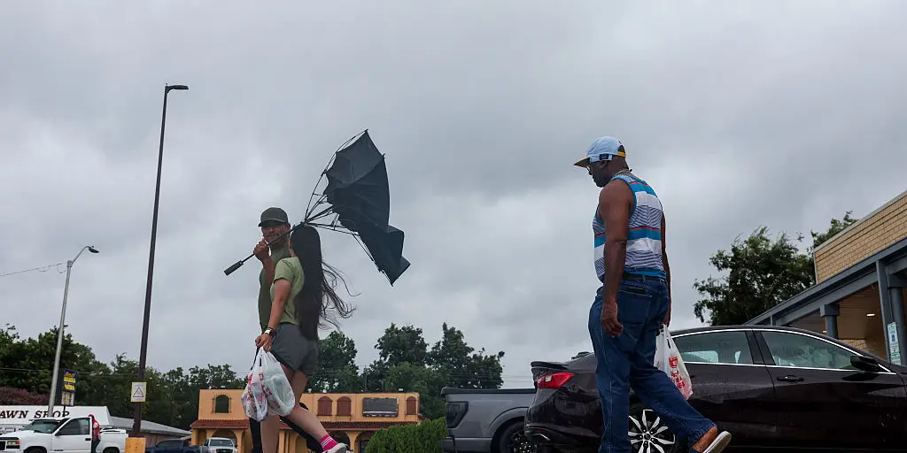
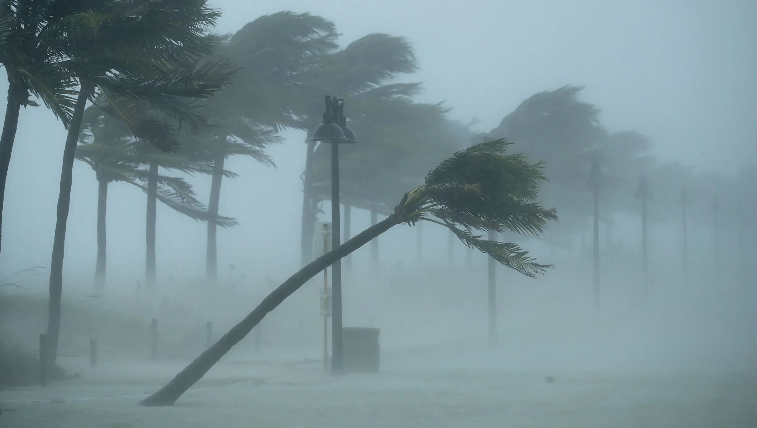
Projected westward movement makes the Hawaiian Islands the principal area of concern, although the precise track and intensity remain subject to change. Emergency managers and residents should prepare for the potential escalation of impacts—tropical-storm-force winds, heavy rainfall, and coastal effects—and follow guidance from local authorities. The NHC will continue issuing routine updates and advisories as the system evolves.

Eastern Pacific Waves Show 7-Day Development Potential
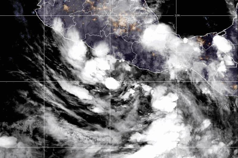
In the Eastern Pacific, a tropical wave several hundred miles south of southern Mexico is producing disorganized showers and thunderstorms. Current conditions are considered generally favorable for gradual development; the system has an estimated 20 percent chance of forming into a tropical depression within 48 hours, increasing to about 80 percent over the seven-day period as models show continued organization while the disturbance moves west-northwestward well offshore of the Mexican coast.
A separate broad area of low pressure associated with another tropical wave lies several hundred miles south of the southern tip of the Baja California Peninsula. That system is less organized and carries roughly a 10 percent formation probability over the next two days and about a 30 percent chance over seven days, with forecasters noting only marginally favorable conditions into the weekend. Both Eastern Pacific features fit the seasonal pattern of tropical wave activity and will be monitored for changes in structure, steering, and intensity.

Preparedness: Insurance, Claims, and Property Protection
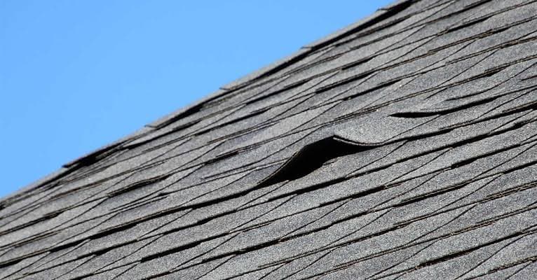
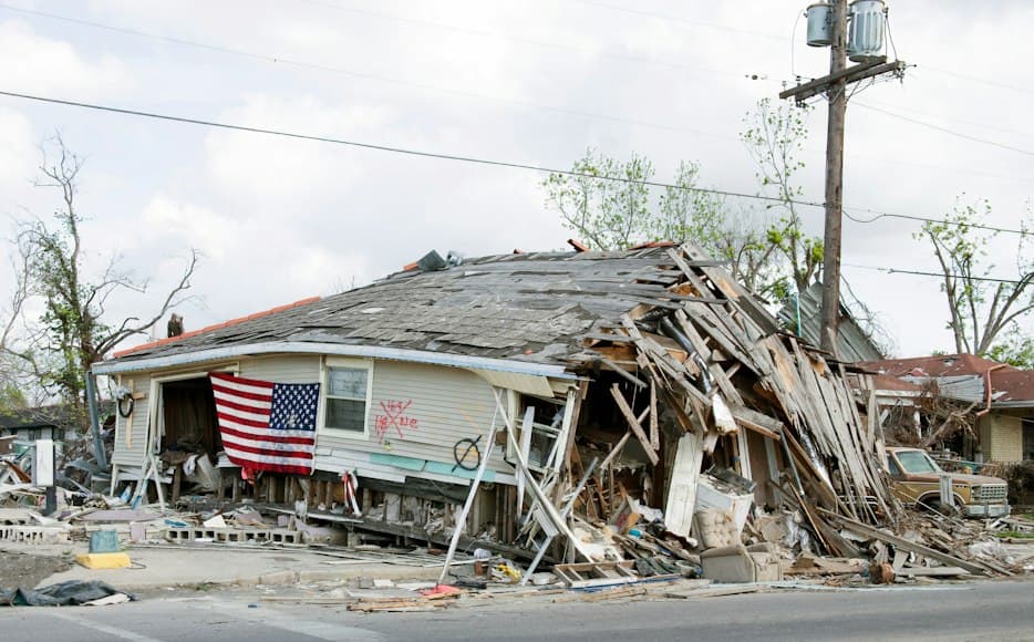
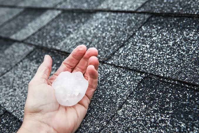
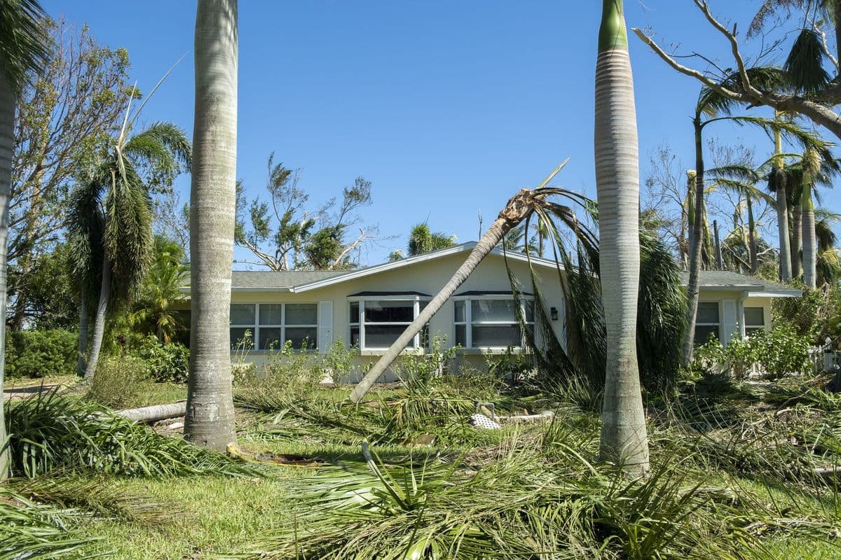
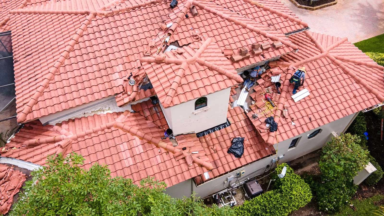
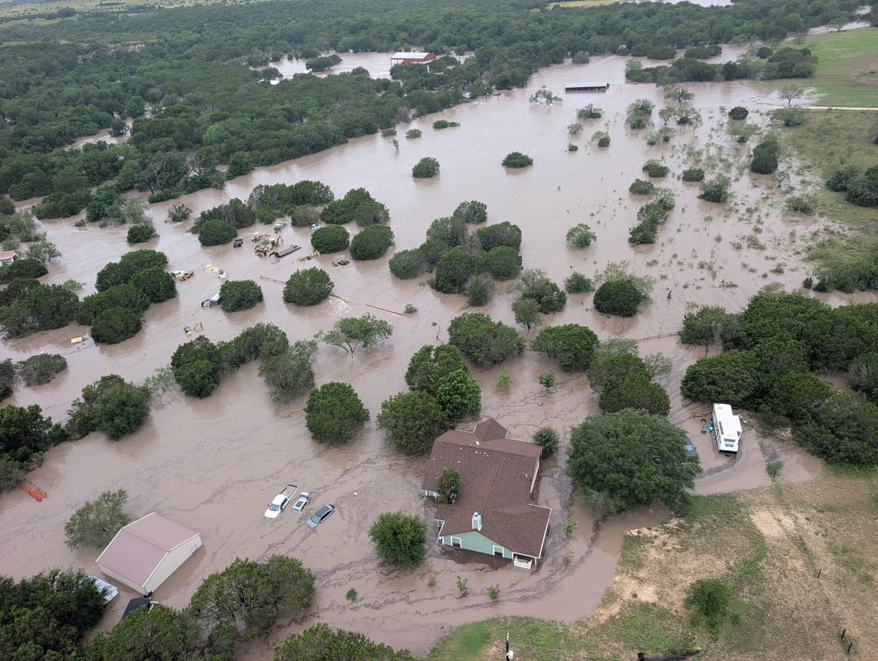
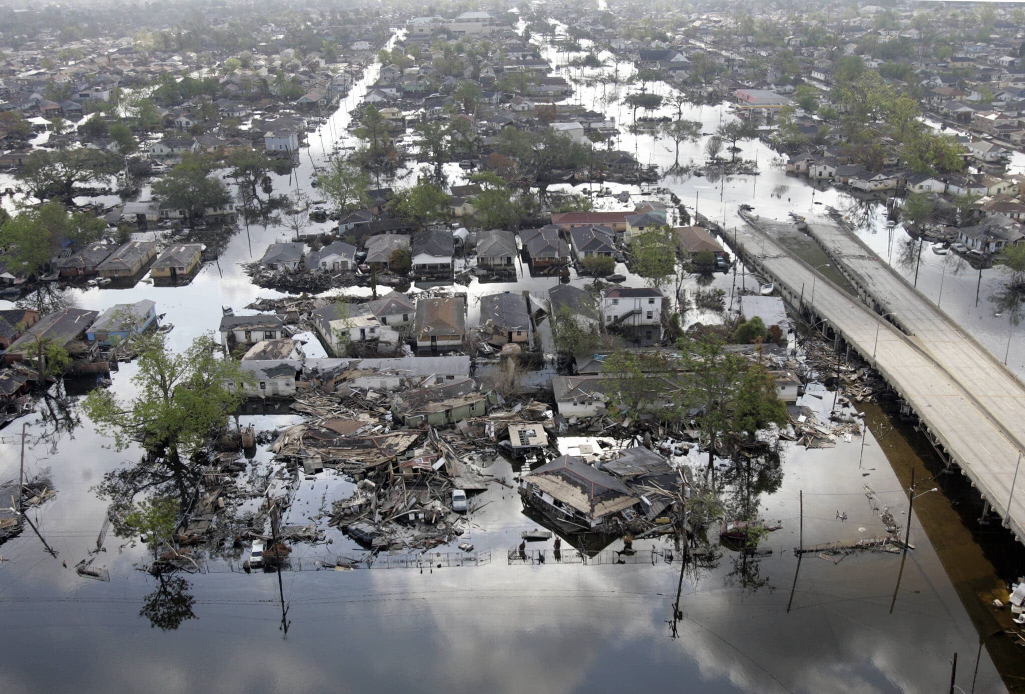
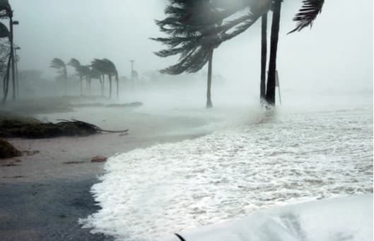
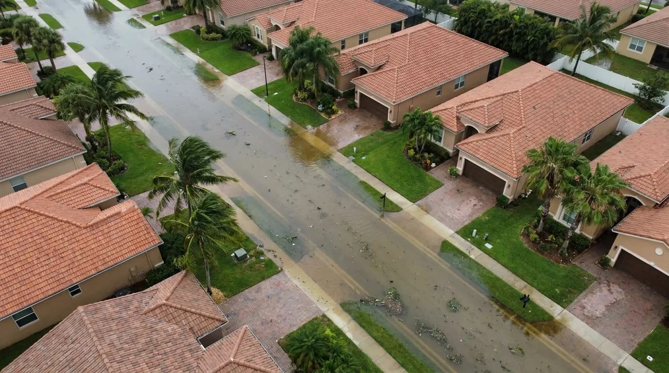
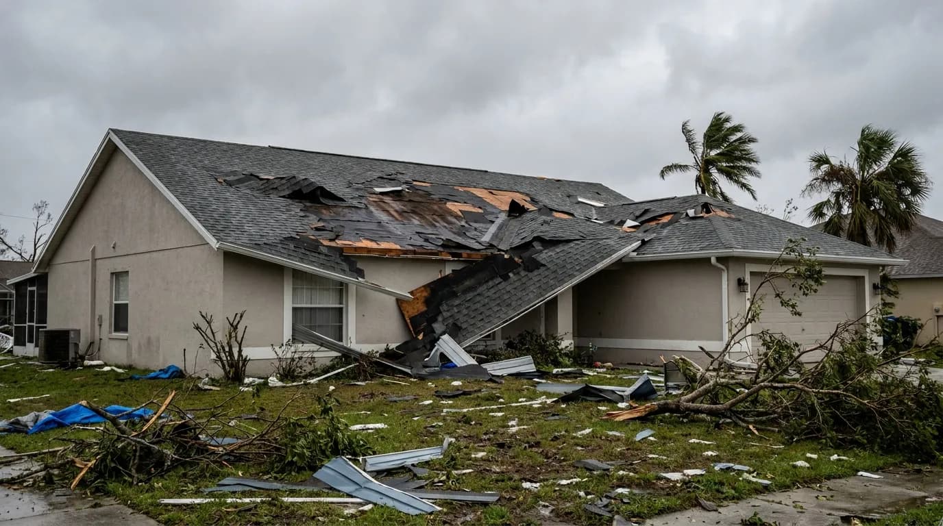
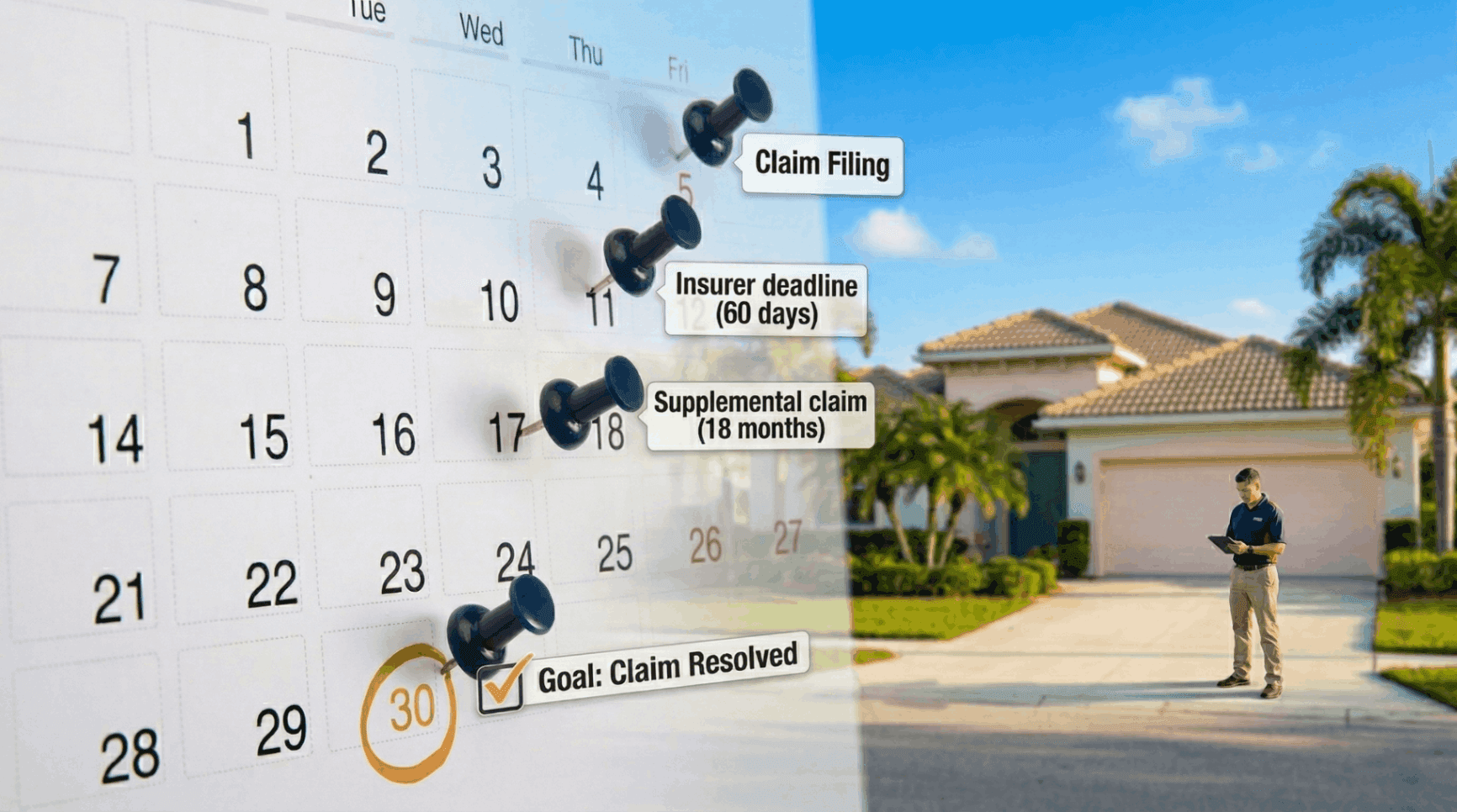
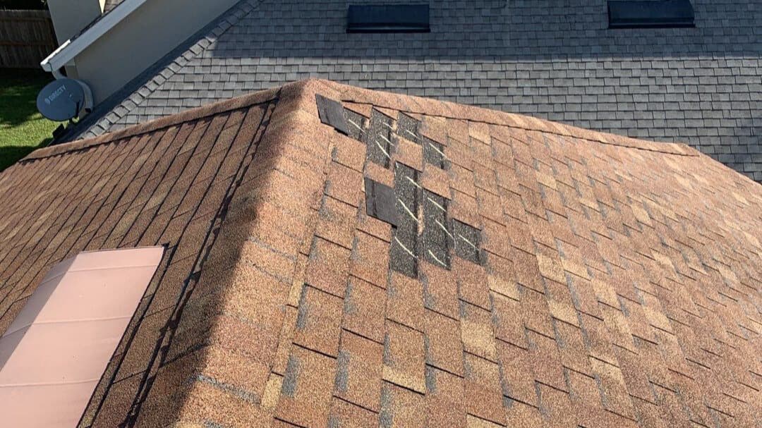
The current cluster of systems arrives at the seasonal peak for Atlantic and Eastern Pacific activity, a period when coastal states such as Florida and Texas should be especially vigilant. Property owners and business operators are advised to review their emergency plans, verify that insurance policies provide adequate coverage for wind, water, and storm-related damage, and assemble up-to-date documentation—photographs, inventories, and policy details—that will be critical if damage occurs. Secure loose outdoor items, check roof and drainage conditions, and heed local evacuation or mitigation guidance when issued.
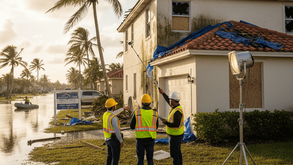
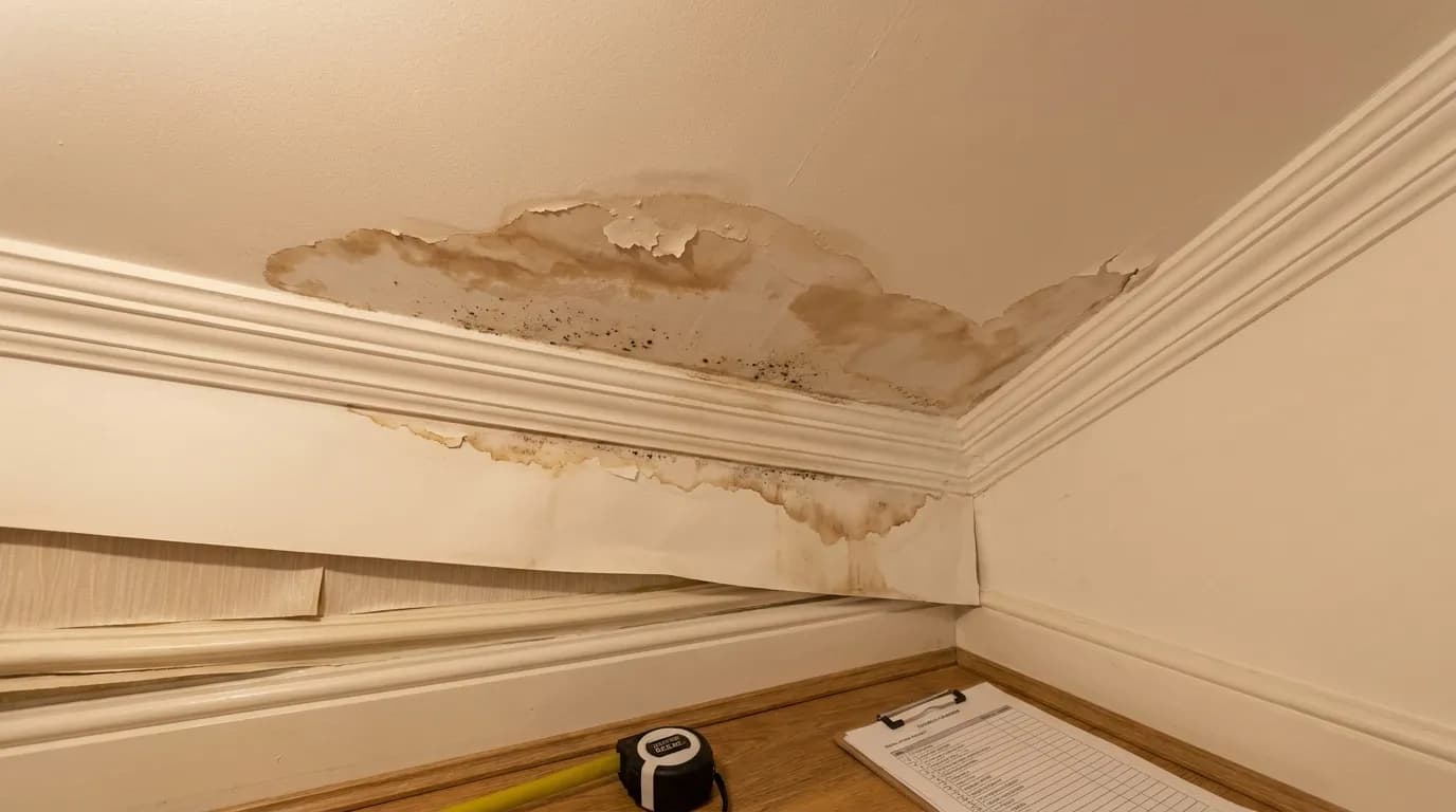
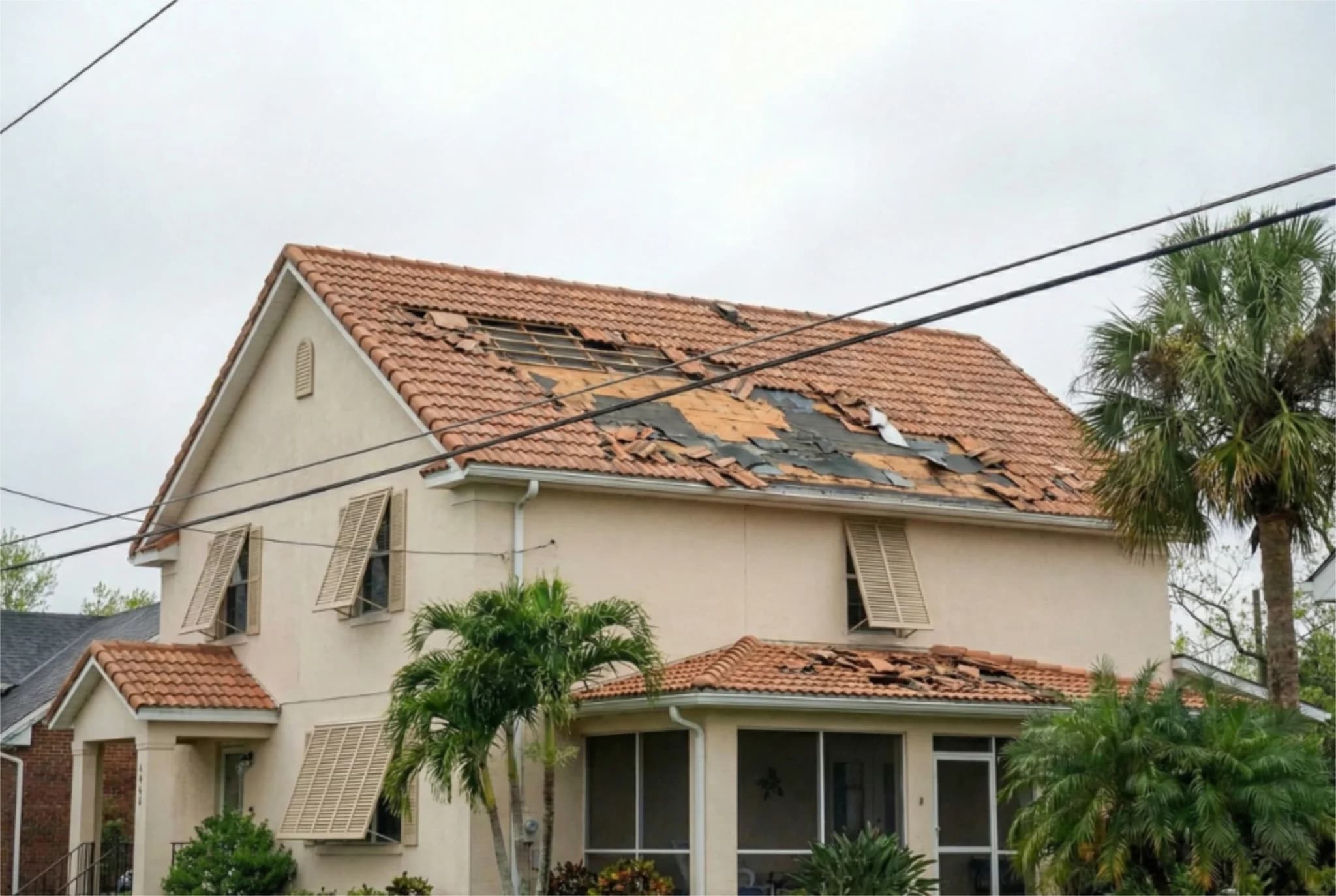
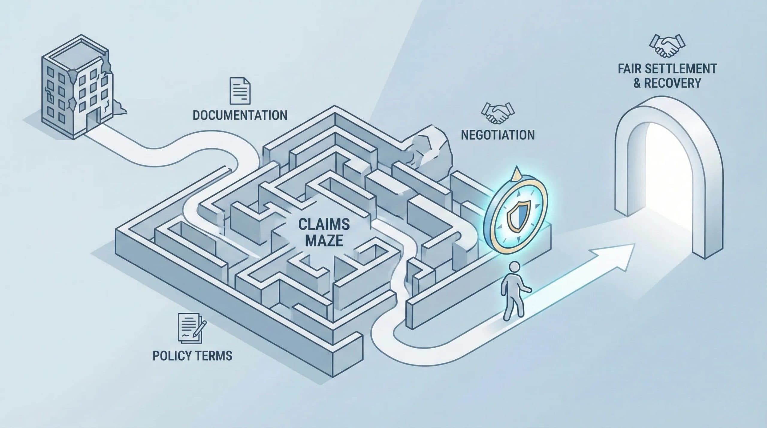
Early engagement with qualified professionals can materially affect recovery outcomes after a storm. Public adjusters and claims advocates, including firms such as Five Star Claims Adjusting, assist policyholders with damage assessment and claims presentation, focusing on roof damage, water intrusion, and structural impacts that insurers may undervalue. Timely documentation, professional inspection, and informed representation improve the likelihood of a complete and timely settlement; homeowners should establish contact with trusted advisors before a loss and keep records current to reduce disputes and delays.