How FEMA Flood Mapping Protects Homeowners And Informs Insurance Decisions
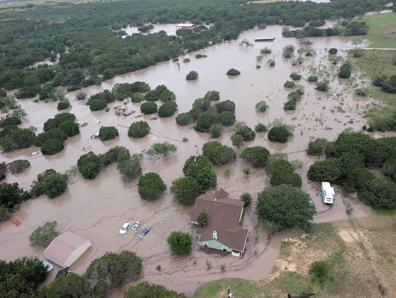
Floods remain one of the most unpredictable natural disasters, capable of striking almost anywhere regardless of proximity to bodies of water. For Florida property owners, understanding flood risk has become increasingly critical as climate patterns shift and development patterns change. Heavy rains, poor drainage systems, and even nearby construction projects can elevate flood risk in ways that many homeowners never anticipate. This is where flood maps enter the picture as indispensable tools for risk assessment and property protection. FEMA maintains and continuously updates flood hazard data through its comprehensive mapping program, which serves as the foundation for the National Flood Insurance Program. These maps represent far more than academic exercises—they directly influence mortgage lending requirements, insurance premiums, and community development decisions. For policyholders in Florida, understanding what these maps show and how they’re created can mean the difference between adequate coverage and devastating financial loss.
Flood maps identify areas with the highest risk of flooding by calculating the probability of inundation over specific time periods. Any area with a one percent or higher annual chance of experiencing a flood is classified as high-risk. This seemingly small percentage translates to significant exposure: properties in these zones face at least a one-in-four chance of flooding during a standard 30-year mortgage period. Understanding this distinction between annual probability and long-term risk helps homeowners grasp why lenders mandate flood insurance in designated flood zones. The mapping process itself involves collaboration between FEMA, local communities, and technical experts. Each community participating in the National Flood Insurance Program designates a floodplain administrator who works directly with FEMA during map updates. These administrators bring essential local knowledge about drainage patterns, historical flooding events, and planned infrastructure improvements. FEMA provides the technology and analytical framework, while communities contribute on-the-ground expertise that ensures maps reflect actual conditions rather than theoretical models alone.
The data collection phase combines multiple approaches. FEMA works with local engineers and surveyors to gather topographic information, stream flow data, and historical flood records. Community members are actively invited to contribute observations about how water drains in their areas, creating a feedback loop that improves accuracy. Once collected, this data feeds into sophisticated computer models that generate preliminary flood maps. These preliminary versions are then available for public review and technical challenge before communities formally adopt them. For Florida property owners, the ability to challenge or modify flood zone designations carries particular importance. The Letter of Map Change process allows property owners to submit technical data supporting requests to amend or revise their flood zone designation. This process has become increasingly relevant as improved drainage systems, elevated construction, or more accurate topographic data sometimes warrant reclassification. Understanding these amendment procedures—whether through Letters of Map Amendment for individual properties or Letters of Map Revision for broader area changes—can provide pathways to reduced insurance requirements and lower premiums.
[Image: Source Article Image 3]
The FEMA Flood Map Service Center serves as the official online repository for all flood hazard mapping products. Homeowners can access their community’s current flood maps, review Flood Insurance Studies, and examine detailed FIRM databases through this centralized portal. The National Flood Hazard Layer provides additional geospatial data for those conducting detailed risk analyses. For public adjusters and claims professionals working with policyholders, these resources offer objective documentation of flood risk designations that can inform coverage discussions and claims strategies. Beyond the basic flood zone designations, FEMA’s Risk Mapping, Assessment and Planning initiative provides more user-friendly analysis tools. These products help communities and individual property owners understand not just whether they’re in a flood zone, but the specific nature and extent of their flood risk. Coastal flood risk studies, levee risk assessments, and specialized analyses for different flood types all contribute to a more nuanced understanding of exposure.
For Florida residents and property professionals, flood maps represent the authoritative baseline for understanding exposure. They inform insurance requirements, guide development decisions, and provide the technical foundation for claims discussions. While no property exists in a true “no-risk zone,” maps clearly identify areas with lower, moderate, and high risk. This distinction allows property owners to make informed decisions about insurance coverage, mitigation investments, and long-term property strategies. As climate patterns continue to evolve and communities invest in improved drainage and resilience infrastructure, staying current with map updates becomes increasingly important for protecting both property values and financial security.