NHC Advisory Tracks Dissipating Storm as Flash Flood Risk Persists Across Upper Texas Coast
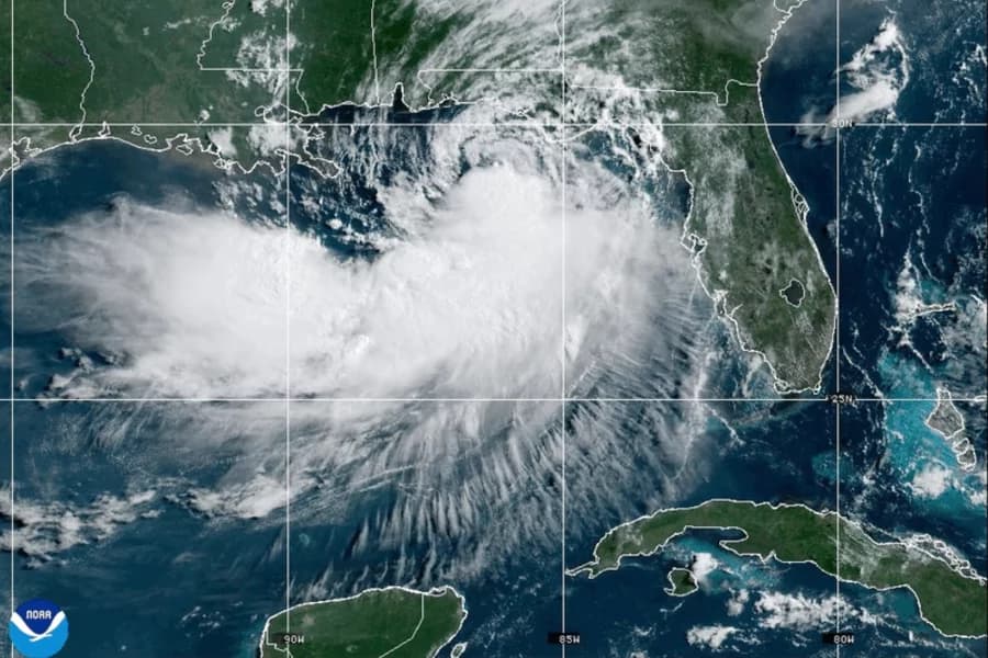
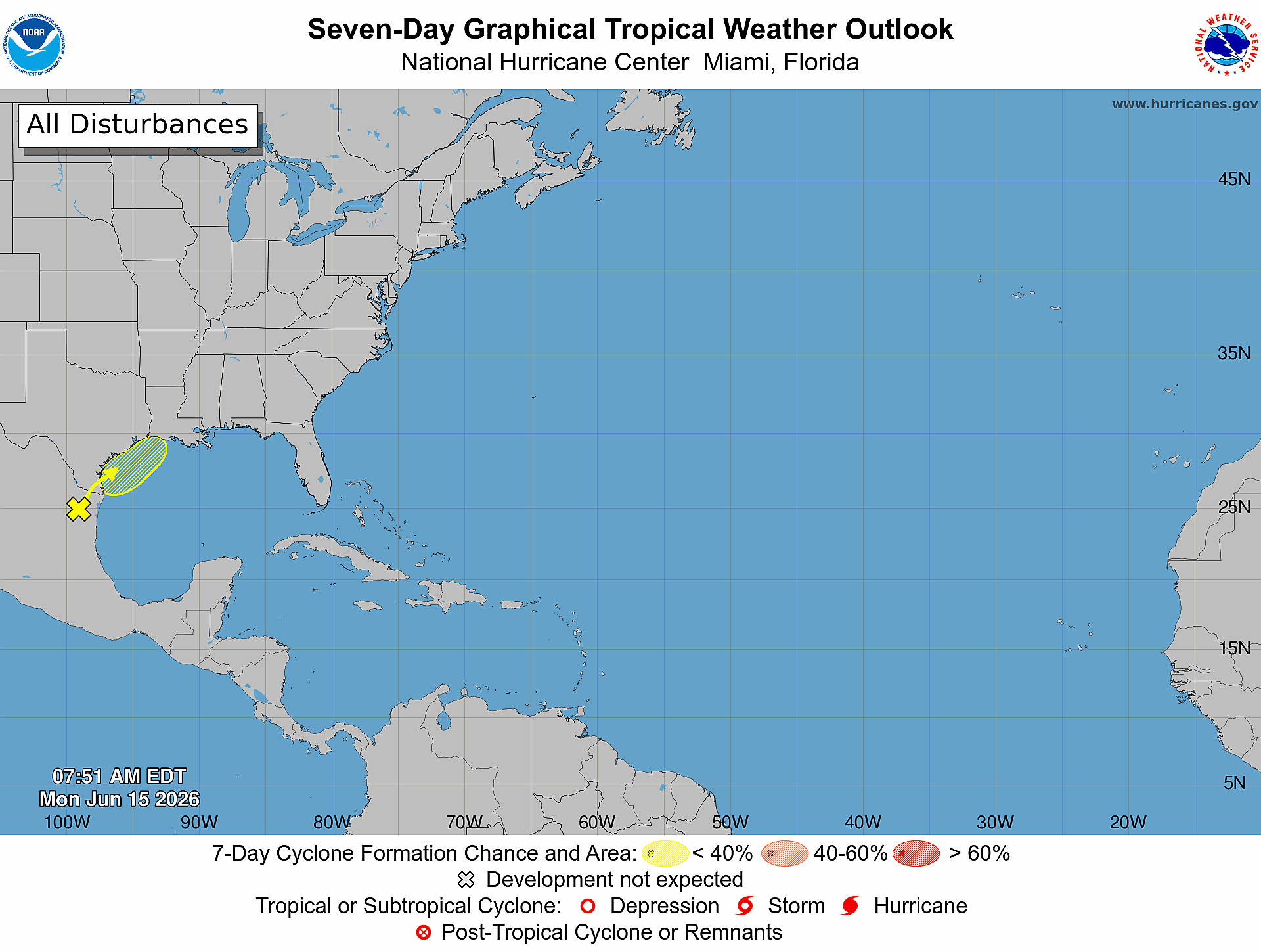
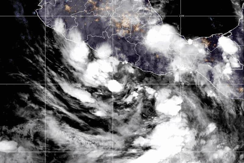
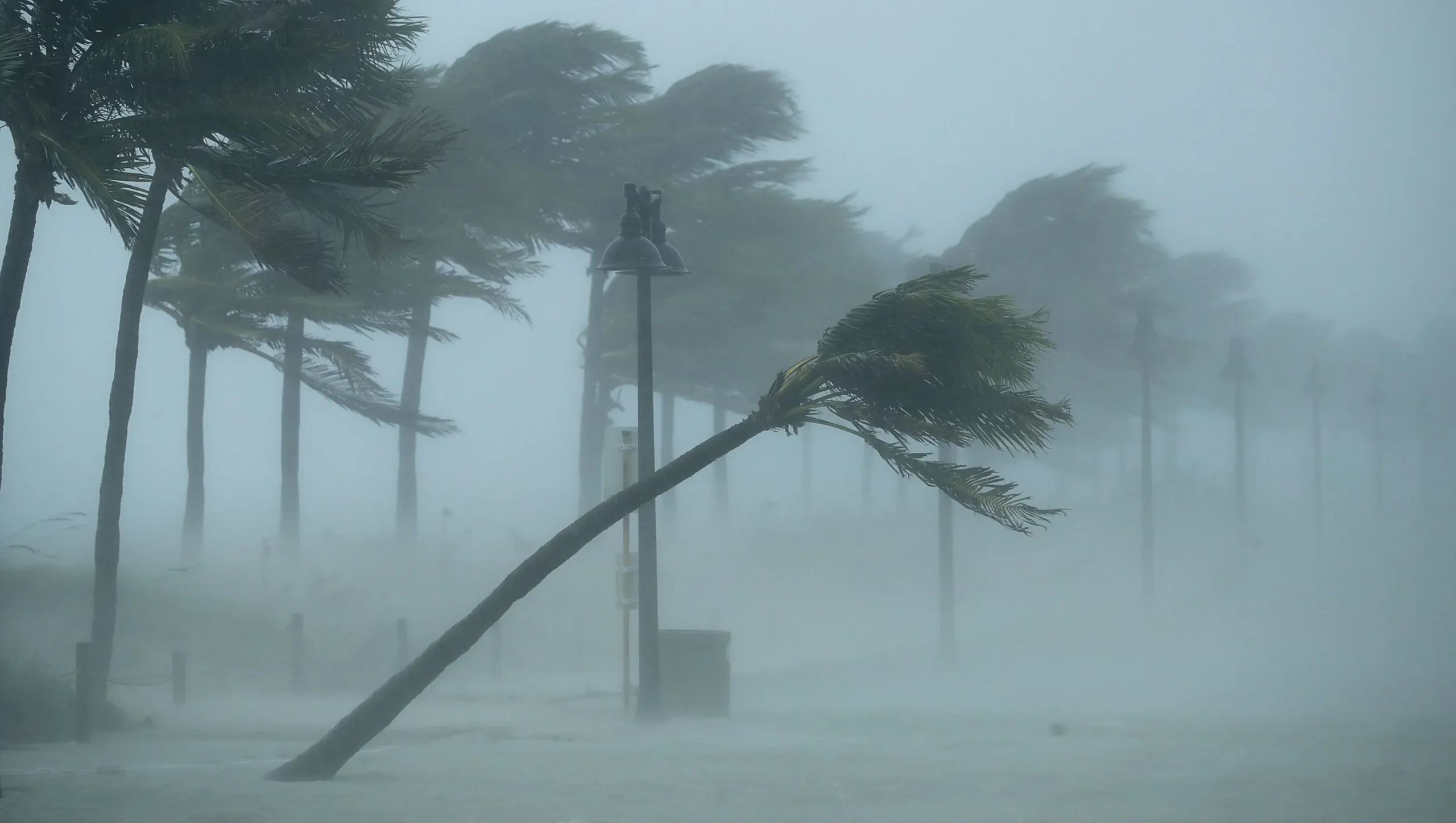
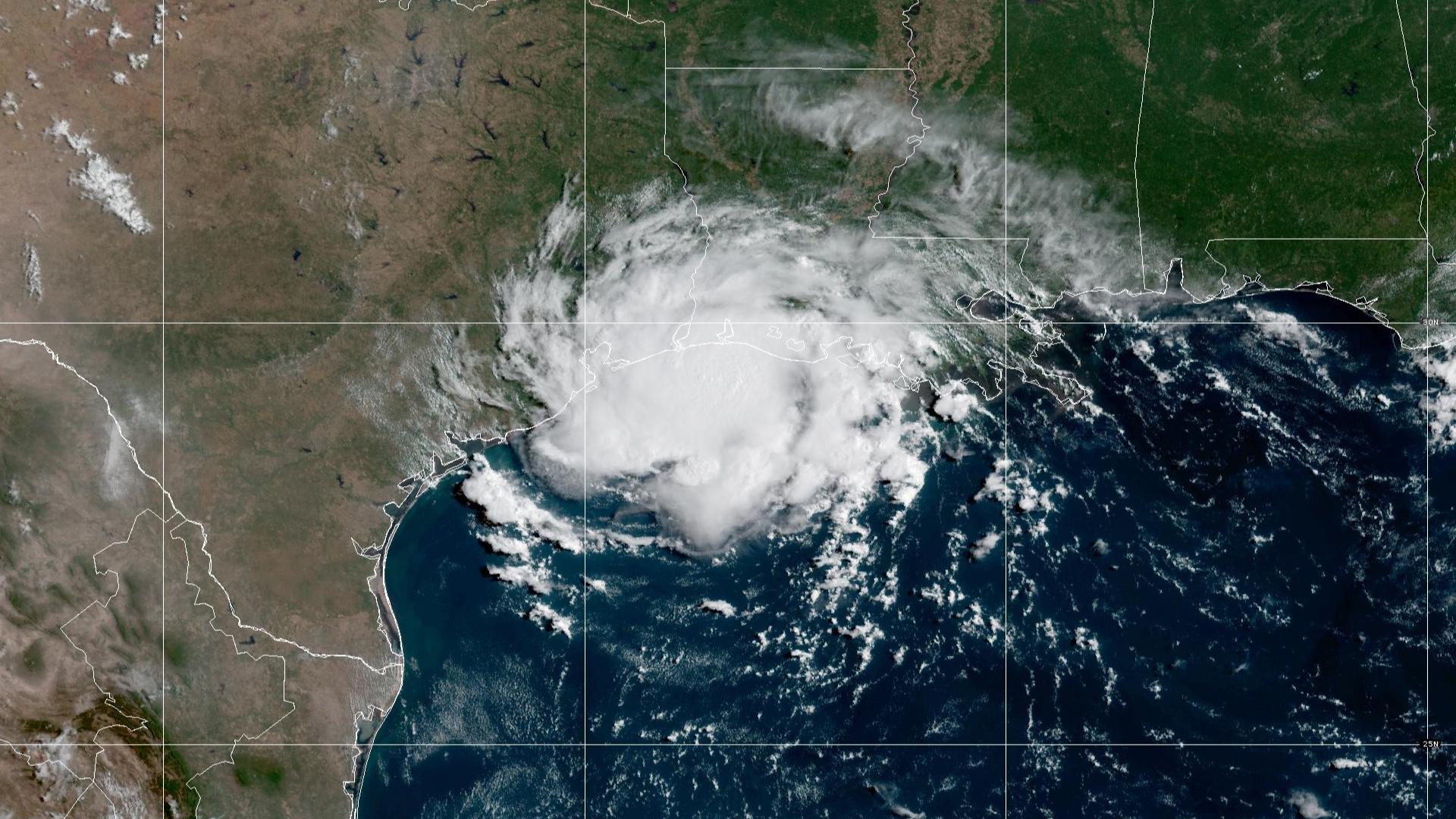
Tropical Depression Edouard is gradually weakening as it moves slowly across southeast Texas, bringing gusty winds and heavy rainfall to the region. As of 4:00 AM CDT on Wednesday, September 2, 2026, the center of the depression was located approximately 70 miles northwest of Beaumont, Texas, near latitude 30.8 North and longitude 95.0 West. The system is moving north-northwest at just 5 miles per hour, a sluggish pace that will prolong rainfall impacts across the affected areas. Maximum sustained winds near the center are currently 35 miles per hour with higher gusts, and the National Weather Service forecasts continued weakening over the next 24 hours. Edouard is expected to dissipate entirely by Wednesday night as it moves inland and loses its tropical characteristics. The minimum central pressure stands at 1004 millibars, reflecting the depression's diminishing strength as it transitions into a non-tropical low-pressure system.
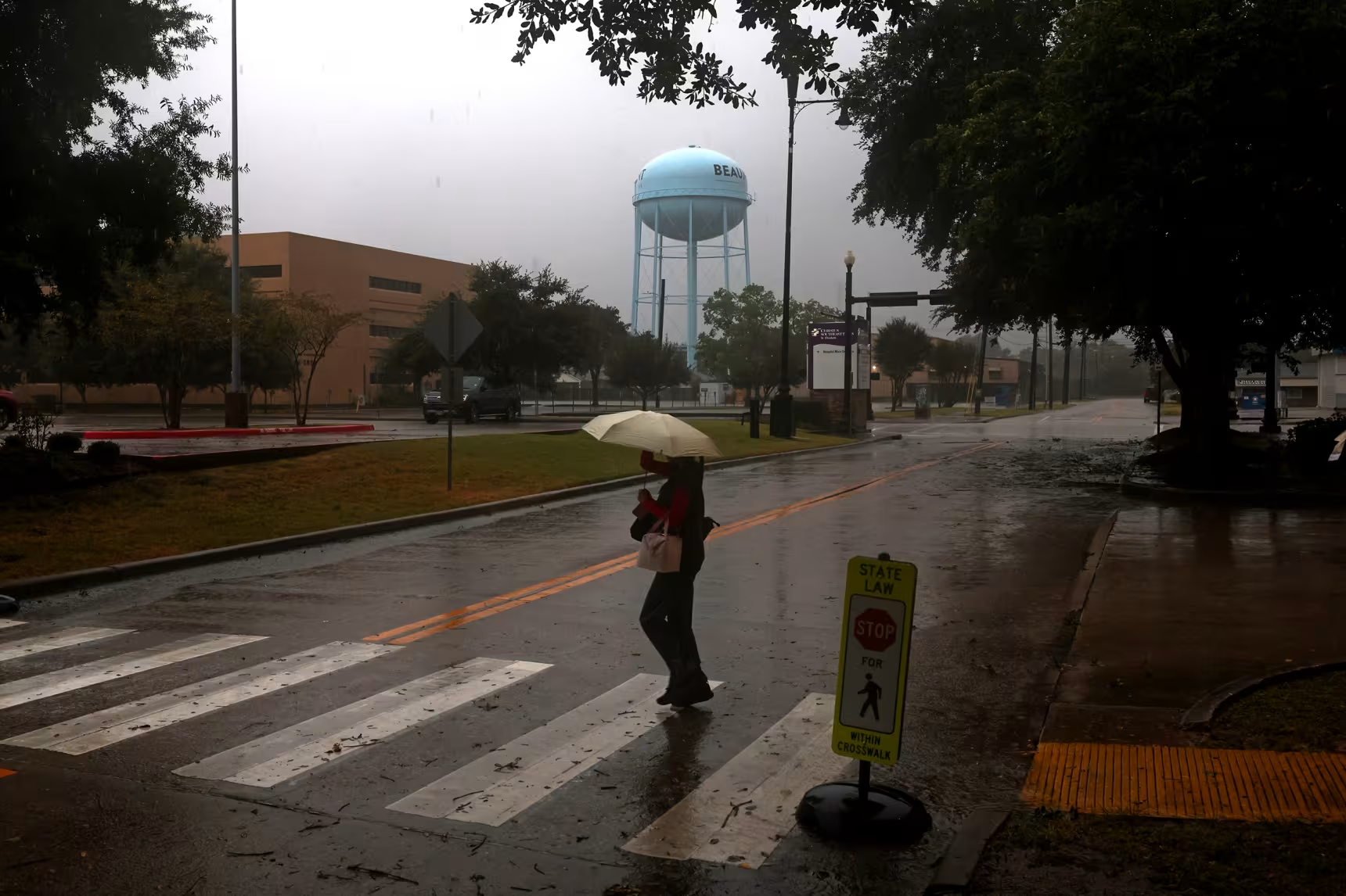
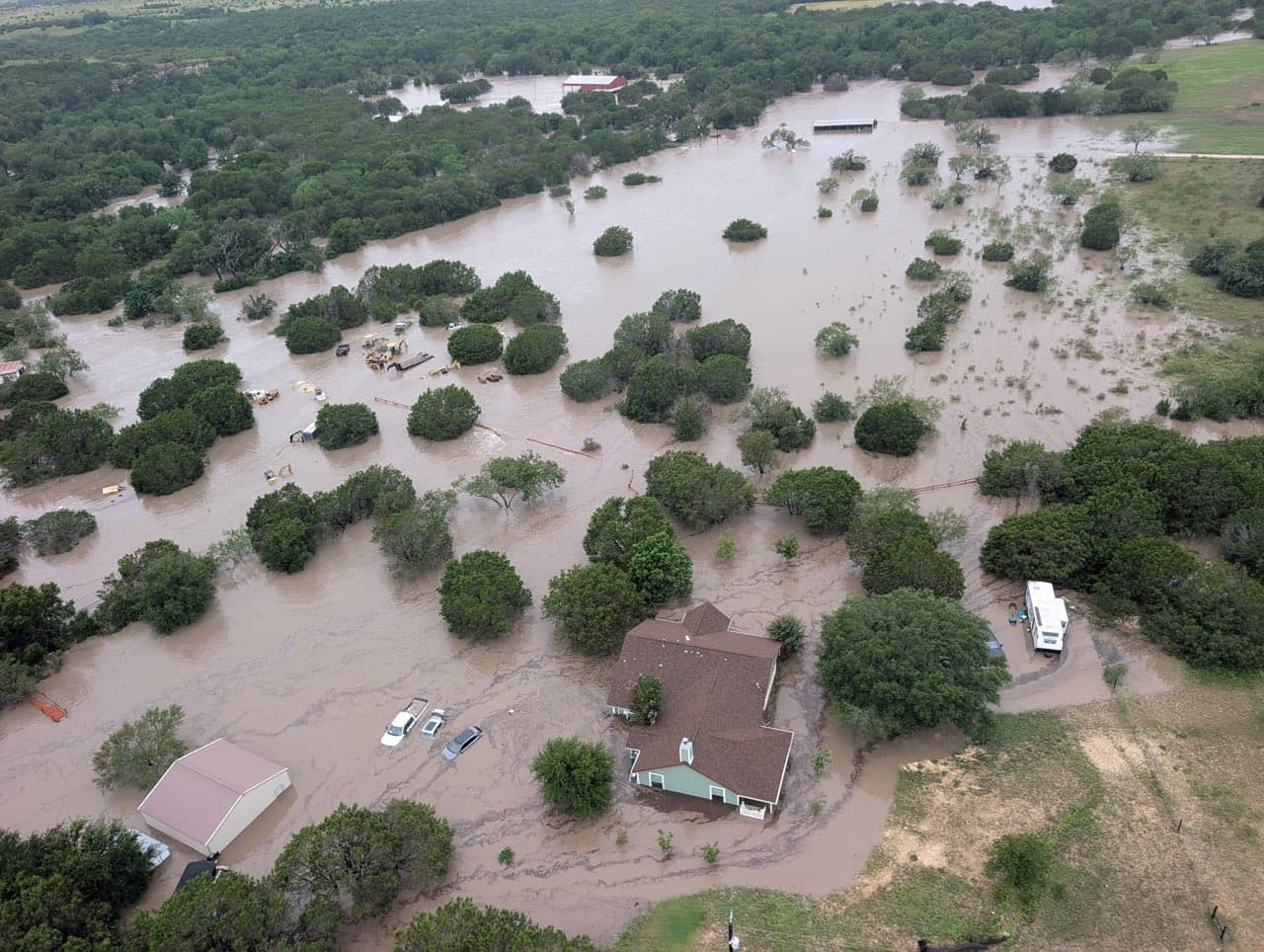
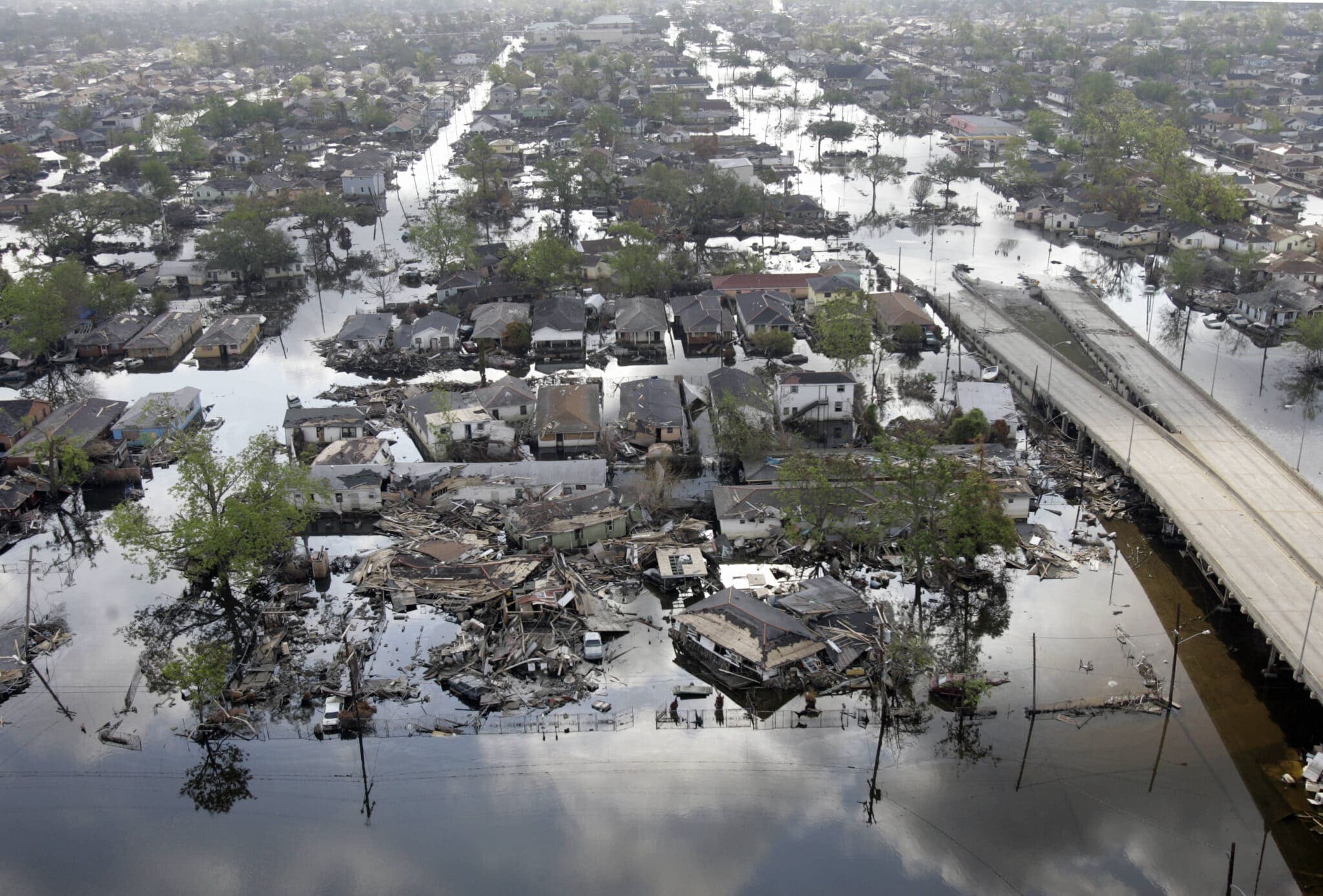
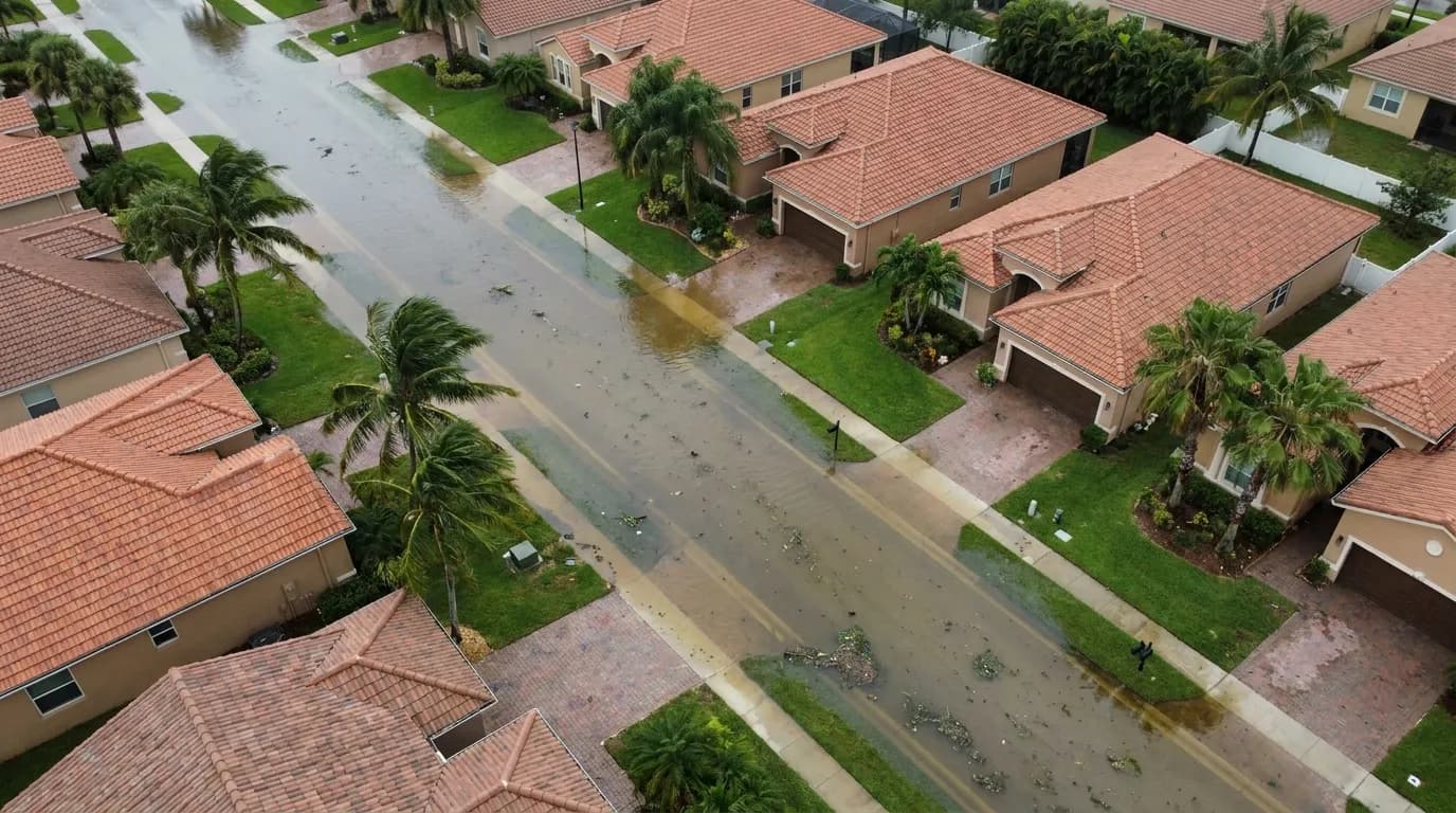
The primary hazard from Tropical Depression Edouard is not wind but rather the substantial rainfall it is delivering across a broad swath of Texas and Louisiana. Total rainfall along Edouard's path is expected to range from 4 to 8 inches, with maximum totals reaching up to 12 inches for parts of the Upper Texas Coast extending inland through east-central Texas. This volume of precipitation is likely to produce flash flooding, particularly in low-lying and urban areas where drainage systems may become overwhelmed. Significant flash flooding is possible, and river flooding may also develop in areas that receive the heaviest rainfall totals. Across southwest Louisiana, rainfall from Edouard will be somewhat lighter, with totals ranging from 2 to 4 inches. Despite the lower amounts, even these rainfall rates can contribute to localized flooding in vulnerable areas. The National Weather Service has issued Flood Watches from the Upper Texas Coast into portions of eastern Texas, alerting residents and emergency managers to the potential for dangerous water-related hazards.
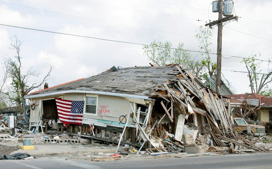
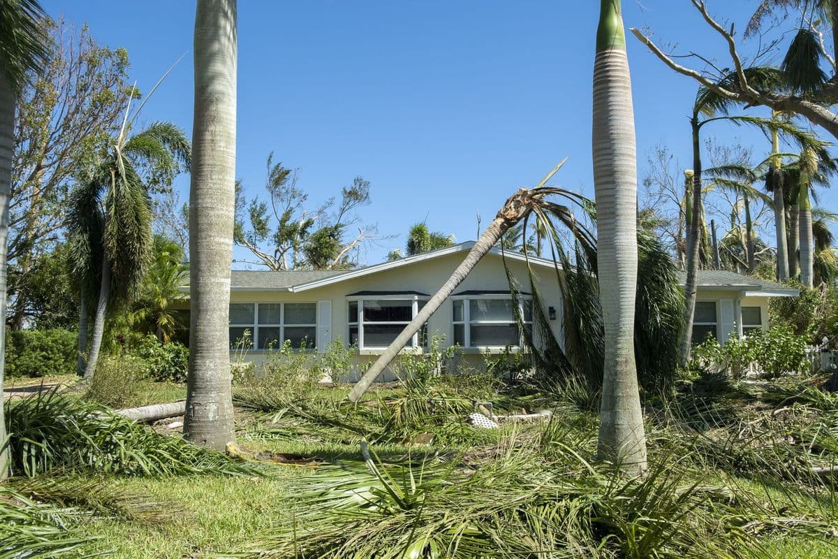
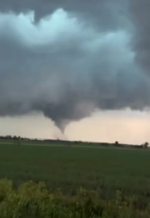
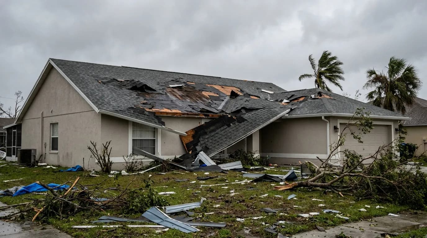
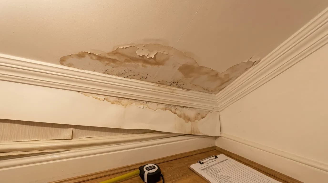
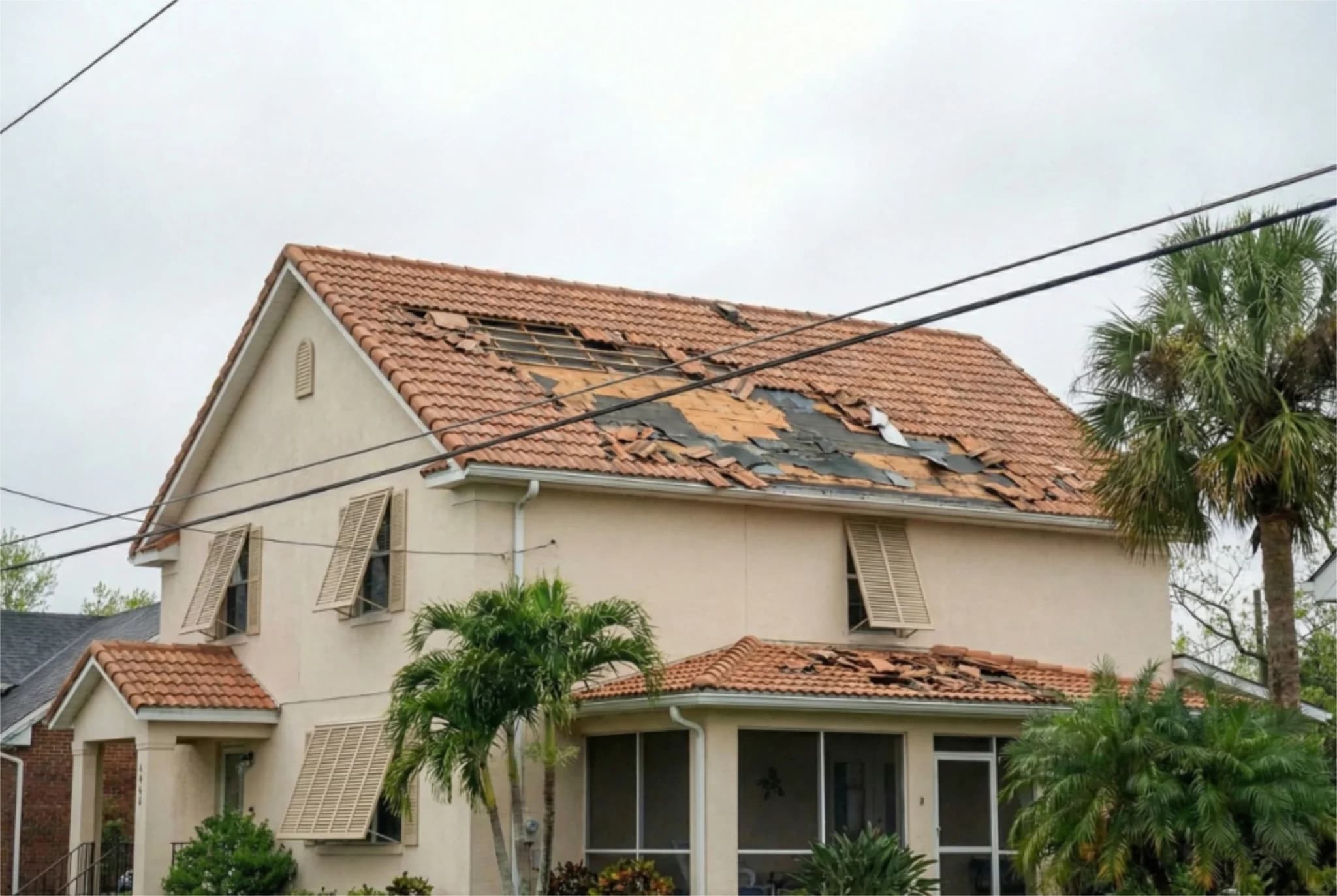
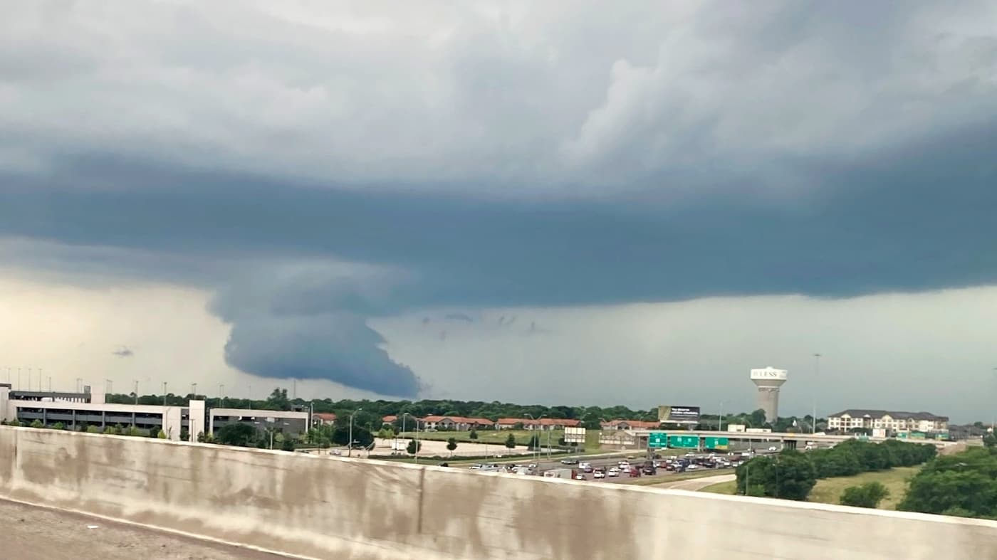
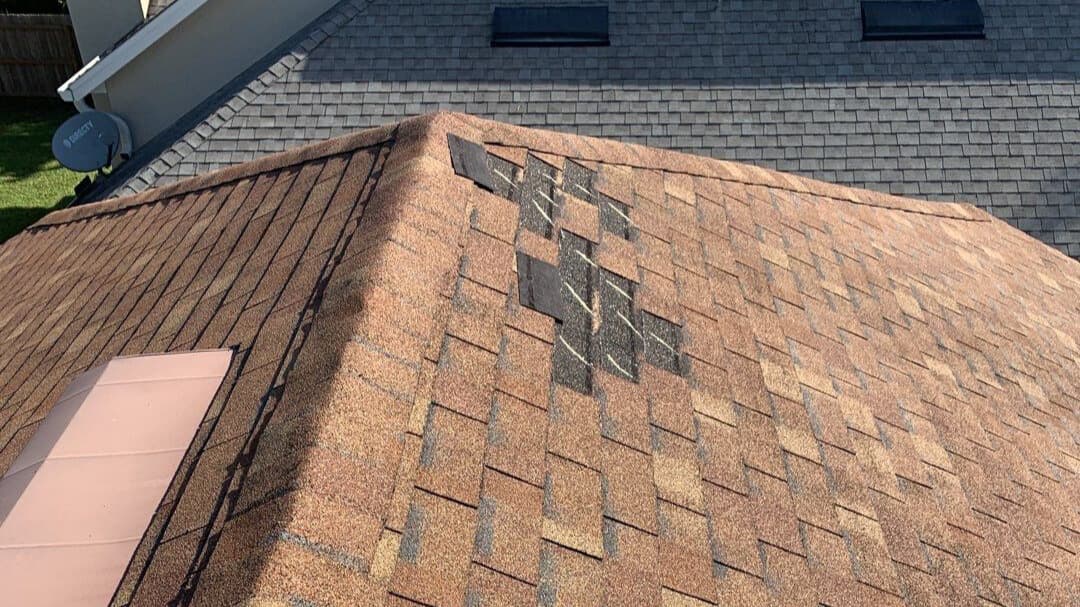
Beyond rainfall and flooding, the National Weather Service has also noted the potential for brief tornadoes through early Wednesday morning across parts of southwest Louisiana and southeast Texas. While tornado activity from tropical systems is typically limited compared to severe thunderstorms, the wind shear and instability in the atmosphere surrounding Edouard could support isolated tornado development. Residents in the affected areas should remain alert to changing weather conditions and heed all warnings issued by local meteorologists. For property owners and residents across southeast Texas and southwest Louisiana, Tropical Depression Edouard presents a significant water damage risk. Heavy rainfall and flash flooding can cause substantial damage to homes, businesses, and infrastructure. Basements and crawl spaces are particularly vulnerable to water intrusion, and even moderate flooding can result in costly repairs and long-term structural damage. Five Star Claims Adjusting stands ready to assist property owners who experience storm damage from Edouard, providing expert assessment and advocacy to help maximize insurance recovery for water damage, roof damage, and other weather-related losses.
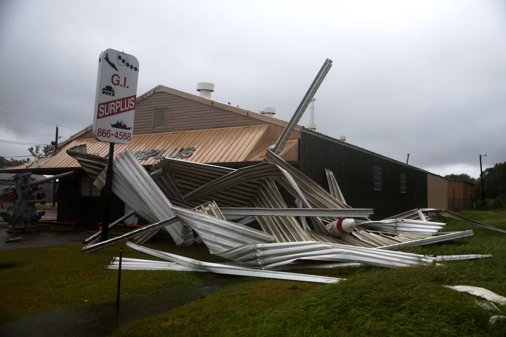
The slow movement of Tropical Depression Edouard means that some areas could receive rainfall for an extended period, increasing the cumulative impact and the likelihood of flooding. Communities along rivers and streams should monitor water levels closely, as delayed runoff from heavy rainfall can cause river flooding even after the rain has ended. Emergency management officials are coordinating with the National Weather Service to ensure that residents receive timely warnings and guidance. As Edouard continues to weaken and move inland, the National Weather Service will issue updated advisories at regular intervals. The next complete advisory is scheduled for 10:00 AM CDT, providing the latest information on the depression's position, movement, and expected impacts. Residents and emergency managers should continue to monitor official weather updates and heed all warnings and watches issued by the National Weather Service.
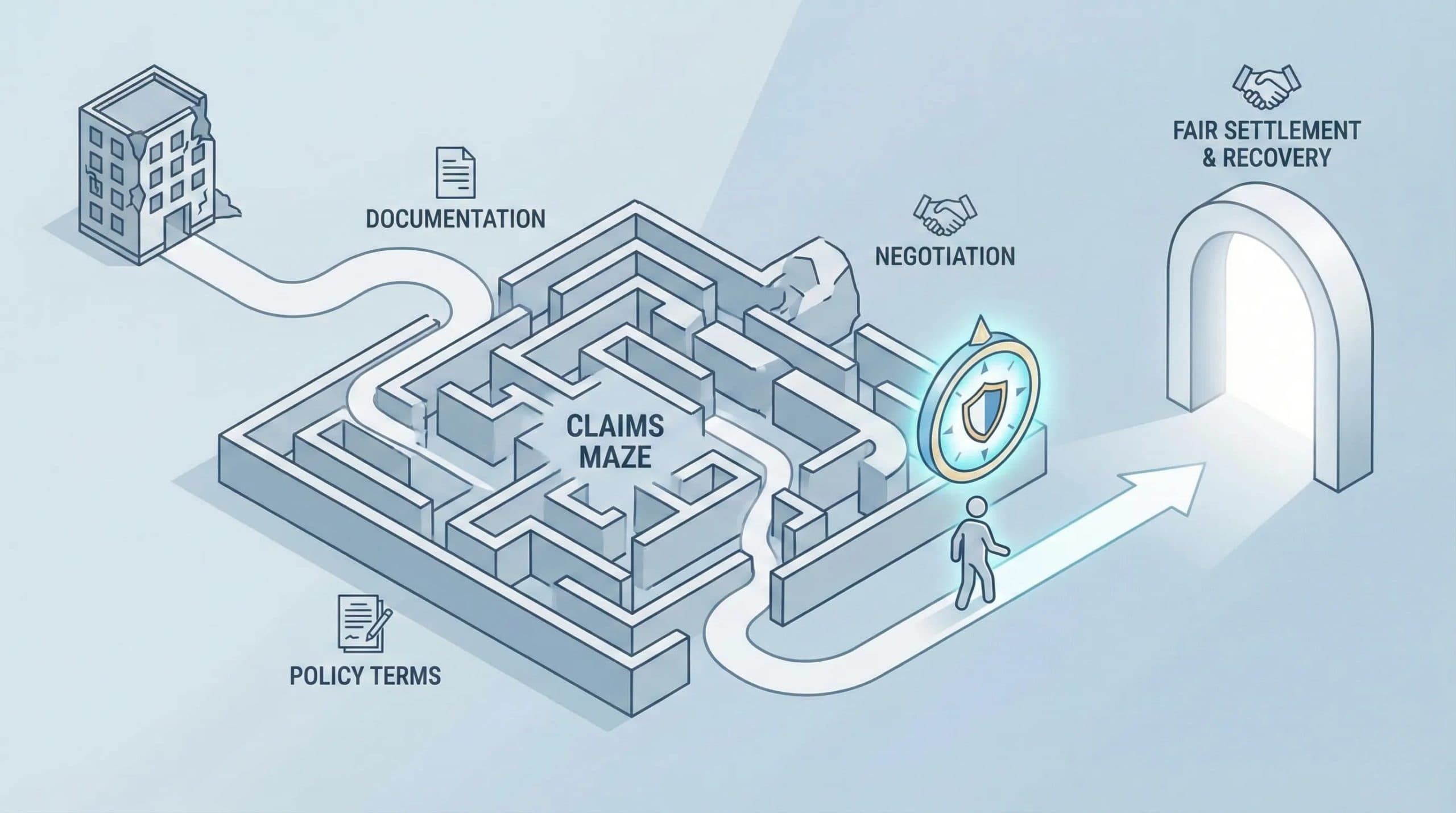
For those who experience property damage from Tropical Depression Edouard, documenting the damage thoroughly and filing a claim promptly with your insurance carrier is essential. Five Star Claims Adjusting can provide professional guidance throughout the claims process, helping to ensure that all damage is properly documented and that your claim receives fair consideration. Whether dealing with water intrusion, roof damage, or other storm-related losses, having expert support can make a significant difference in the outcome of your claim and your ability to recover and rebuild.
This article has been sourced from press releases and cross-referenced with multiple websites. Facts originally seen at Source.