National Hurricane Center Tracks Active System While Monitoring Eastern Pacific Disturbance
The National Hurricane Center is actively tracking Tropical Storm Pena as it moves westward through the Central Pacific, well south of the Hawaiian Islands. As of the latest advisory issued at 11:00 PM Hawaiian Standard Time on Sunday, November 8, the system maintained maximum sustained winds of 45 miles per hour with a minimum central pressure of 1002 millibars. The storm continues its westward movement at 9 miles per hour, positioning it far enough from populated areas to pose minimal immediate threat to land-based communities.
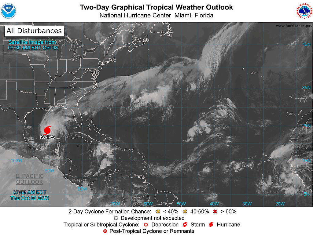
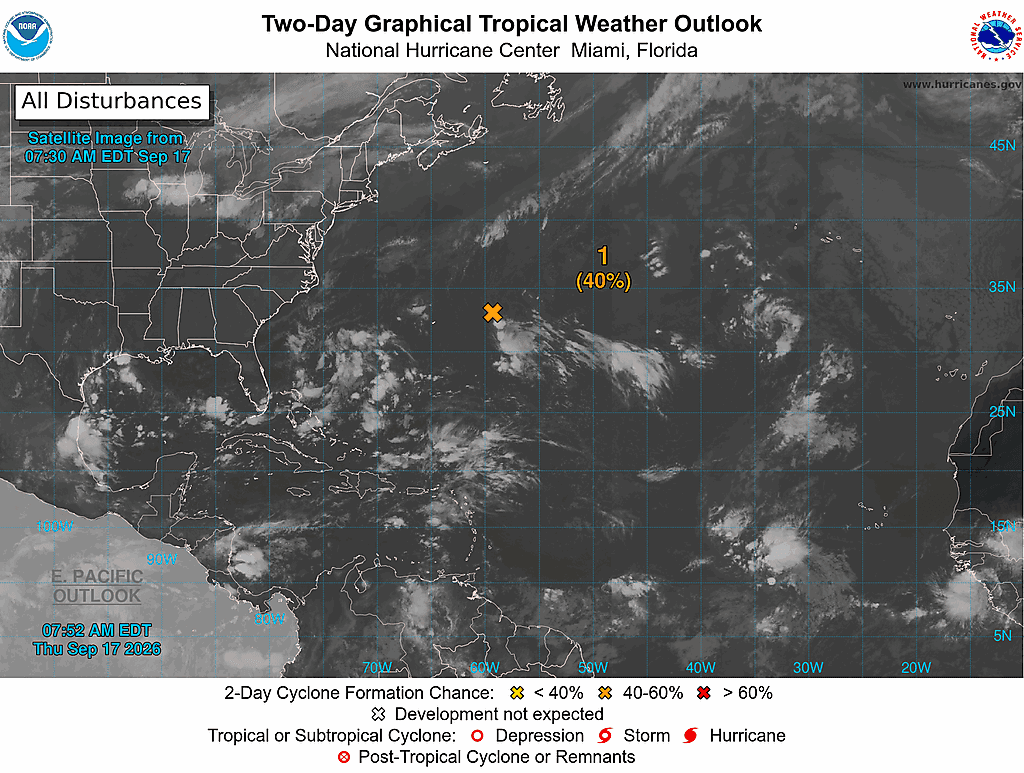
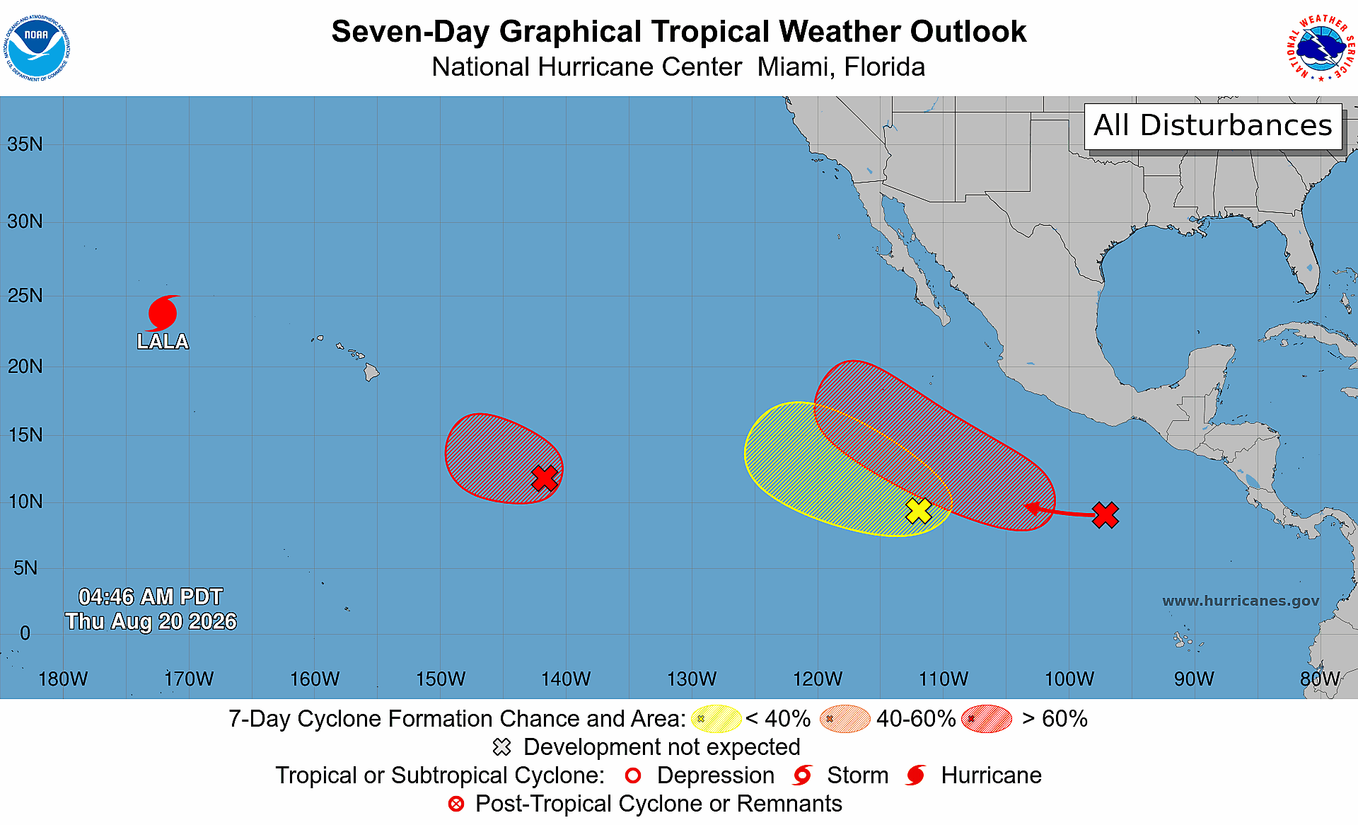
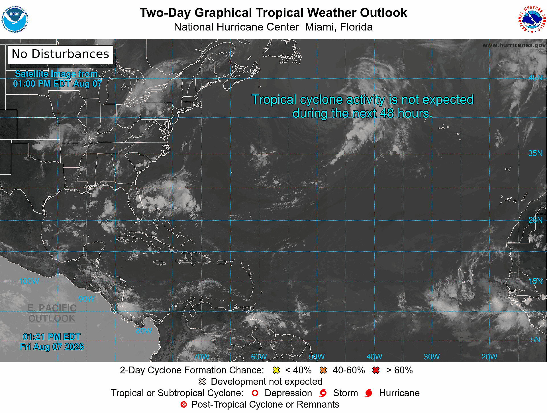
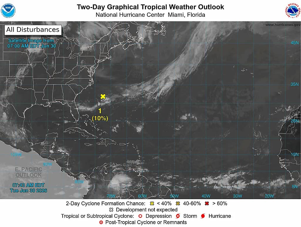
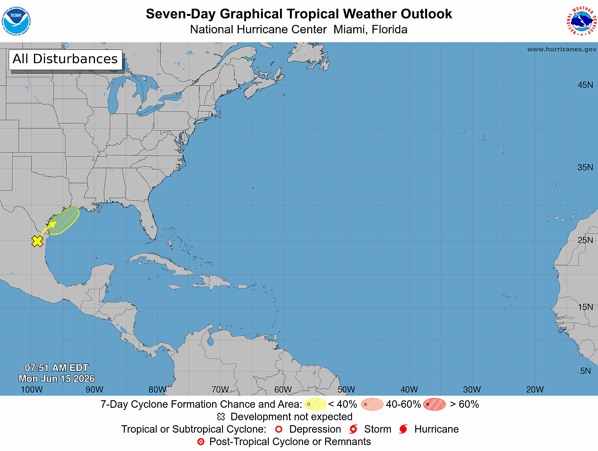
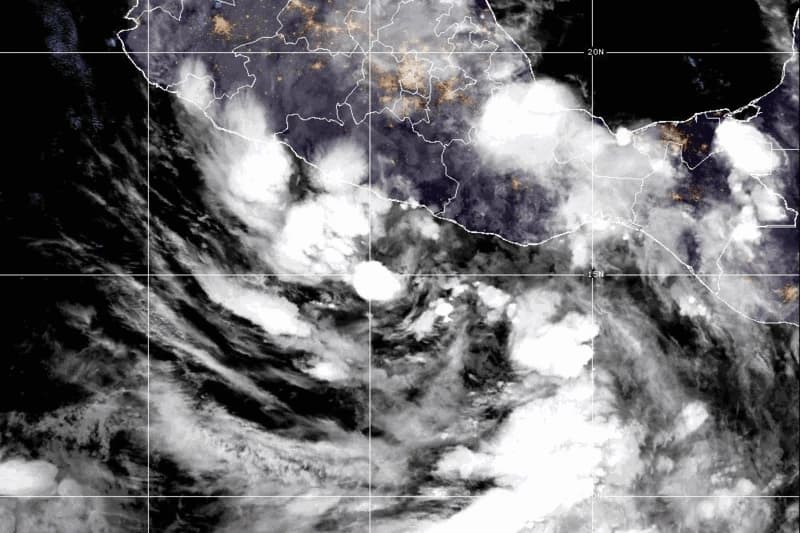
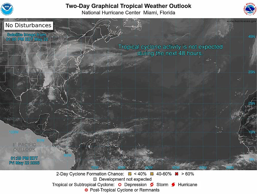
Meanwhile, the Atlantic basin and Caribbean Sea remain remarkably quiet, with no active tropical cyclones currently affecting the region. The National Hurricane Center's latest Tropical Weather Outlook, issued at 7:00 AM Eastern Standard Time on Monday, November 9, confirms that conditions across the Atlantic remain unfavorable for tropical development. This calm period provides an important window for property owners and residents in Florida, Texas, and other hurricane-prone regions to review their insurance coverage and ensure their homes are properly prepared for the upcoming season. In the Eastern Pacific, forecasters are monitoring a small area of low pressure located several hundred miles offshore of El Salvador and Nicaragua. As of 4:00 AM Pacific Standard Time on Monday, shower and thunderstorm activity associated with this system has diminished significantly. Environmental conditions are expected to remain unfavorable for development as the system drifts westward or west-southwestward away from land. The National Hurricane Center currently assigns this disturbance only a 10 percent chance of becoming a short-lived tropical cyclone over the next 48 hours, with the same low probability extending through the seven-day forecast period.
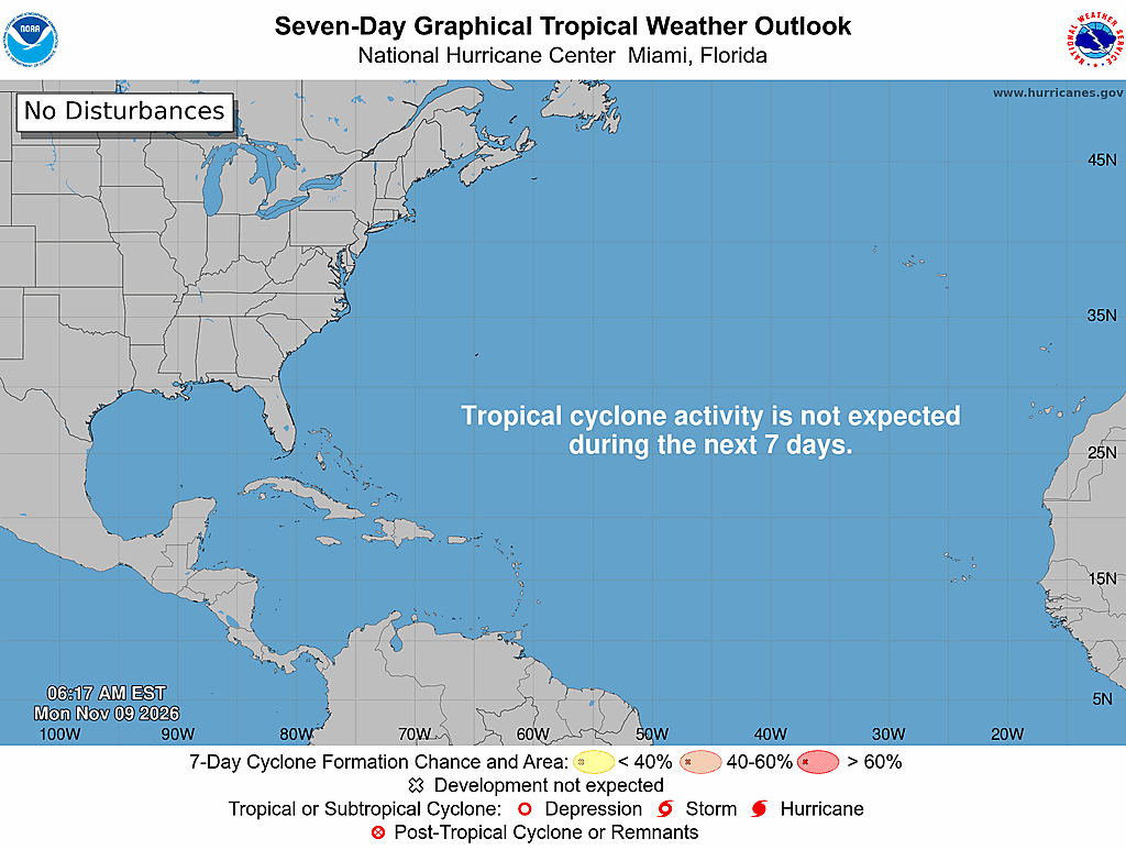
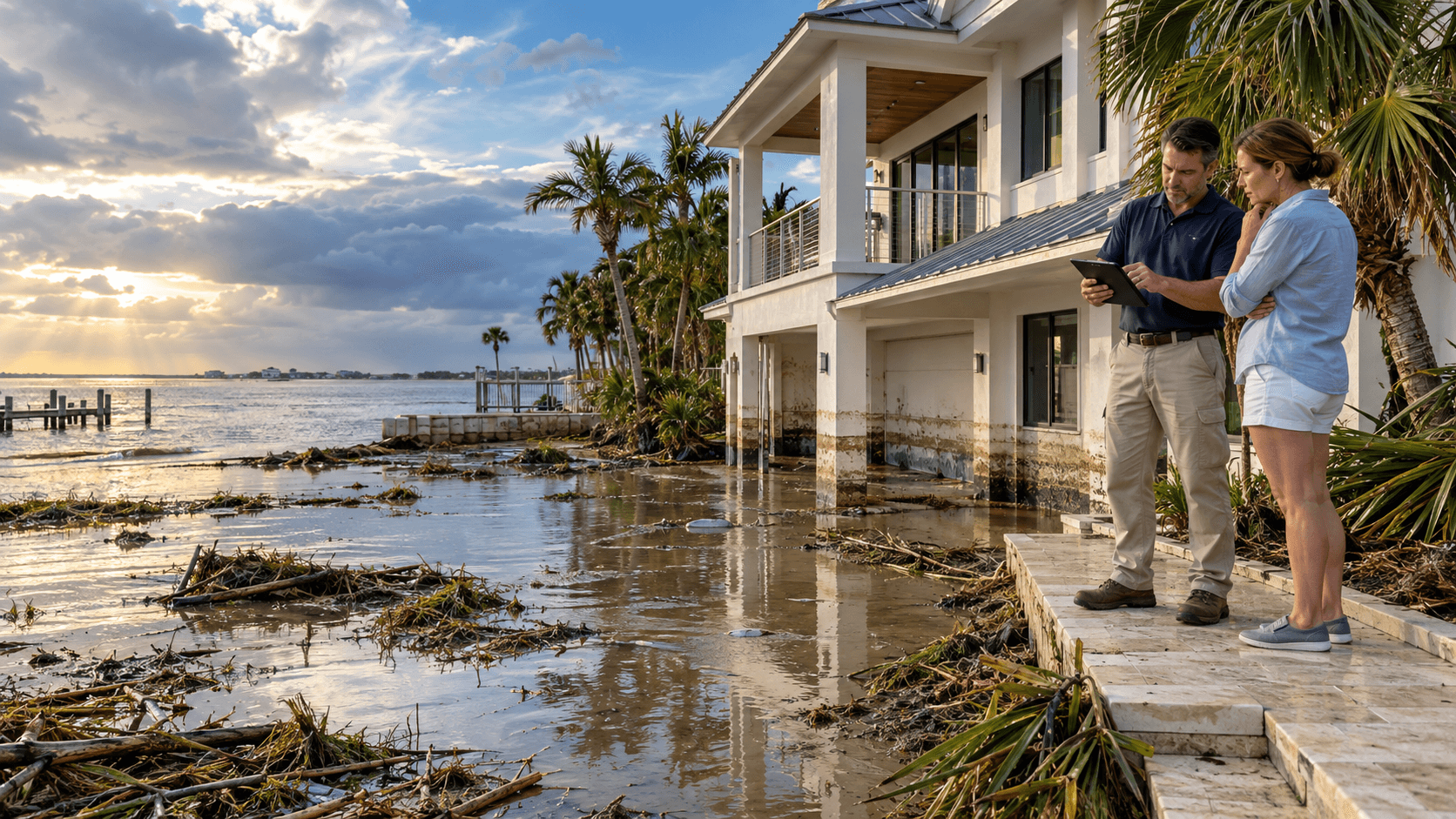
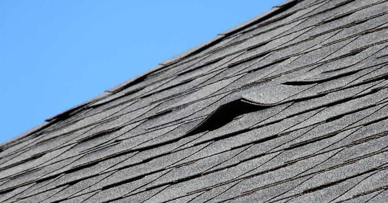
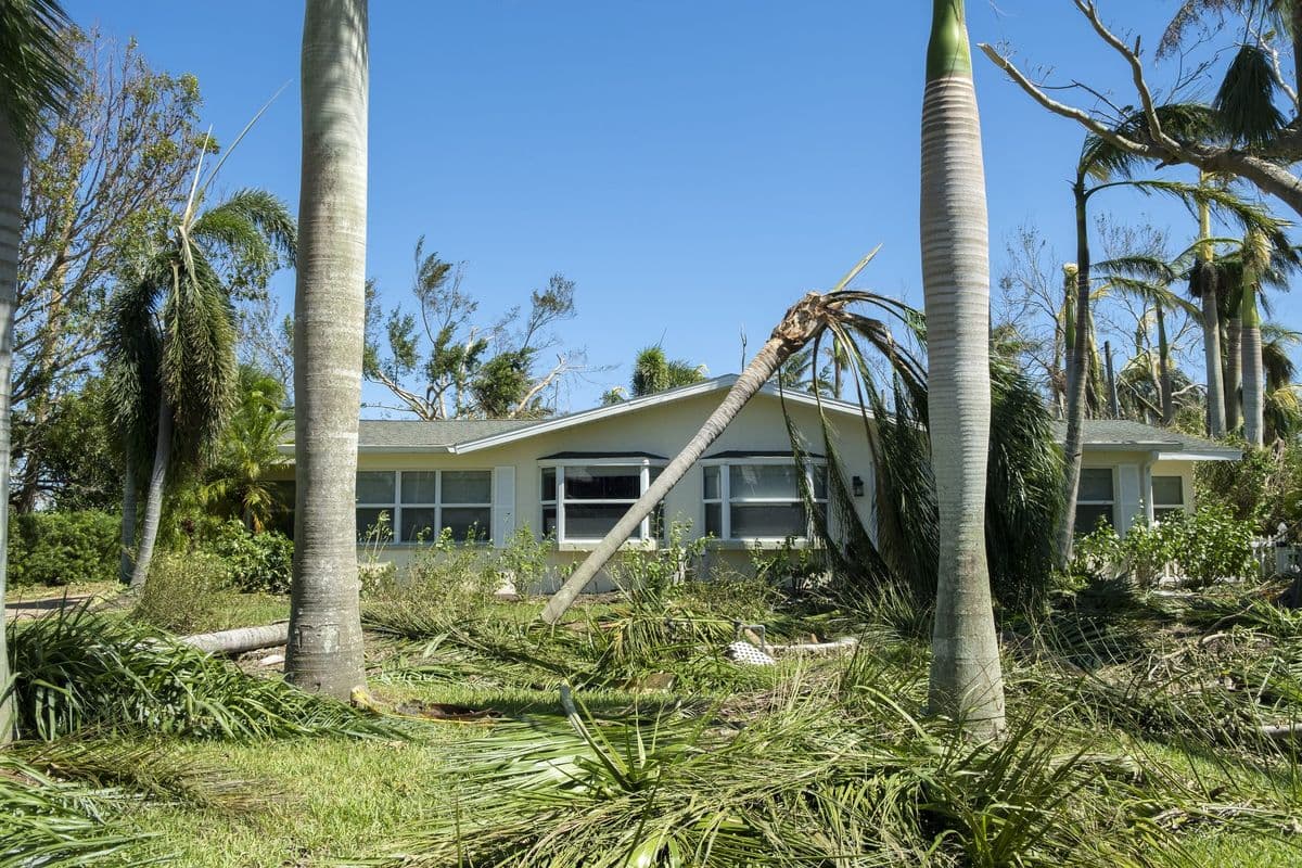
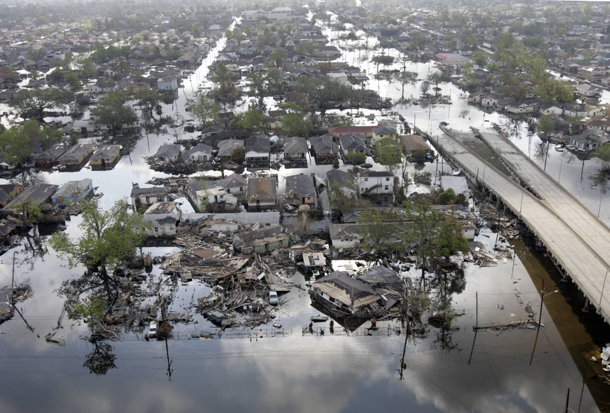
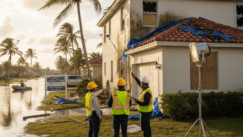
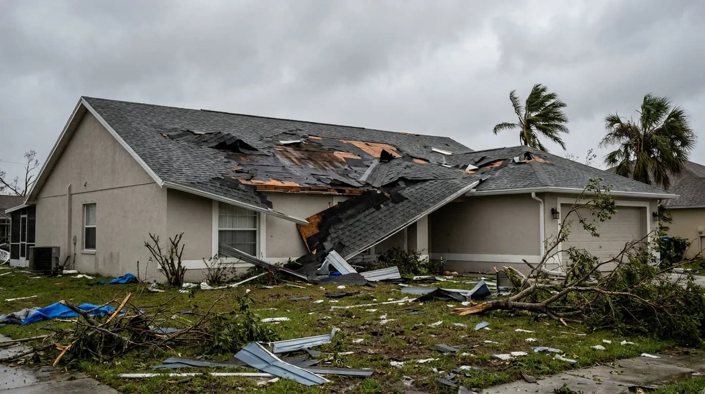
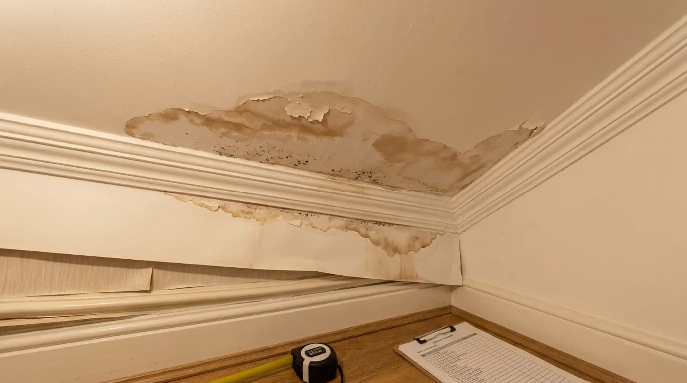
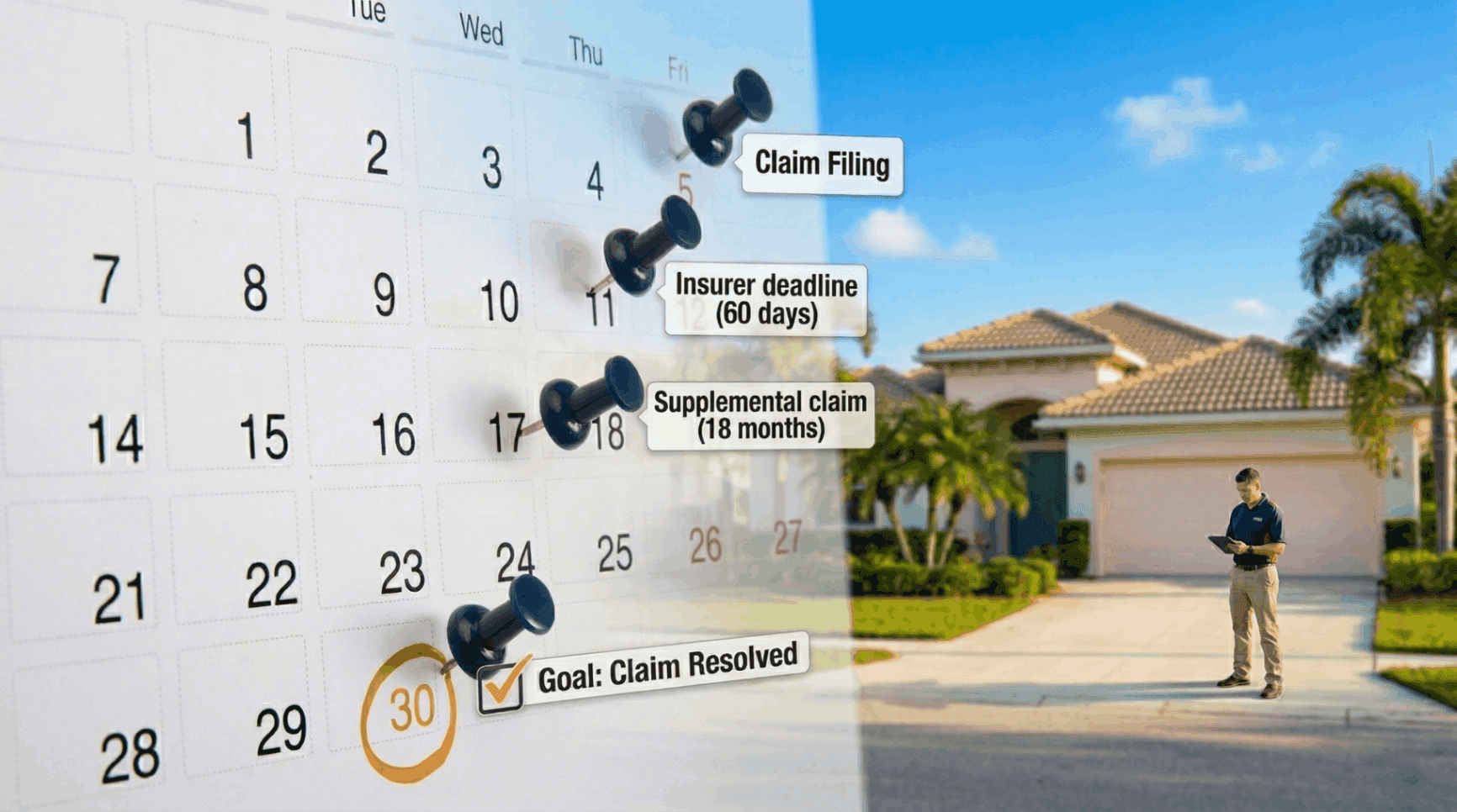
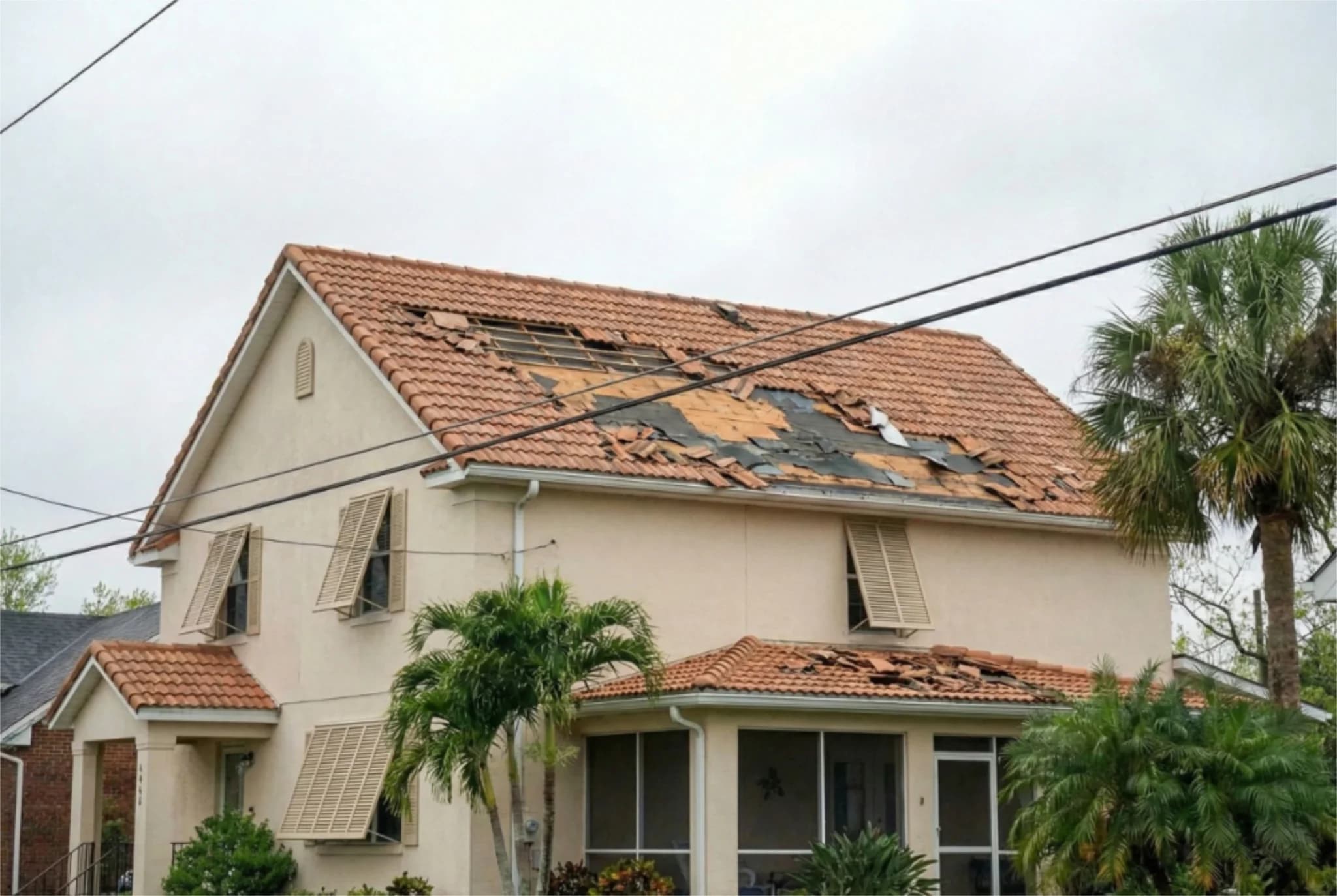
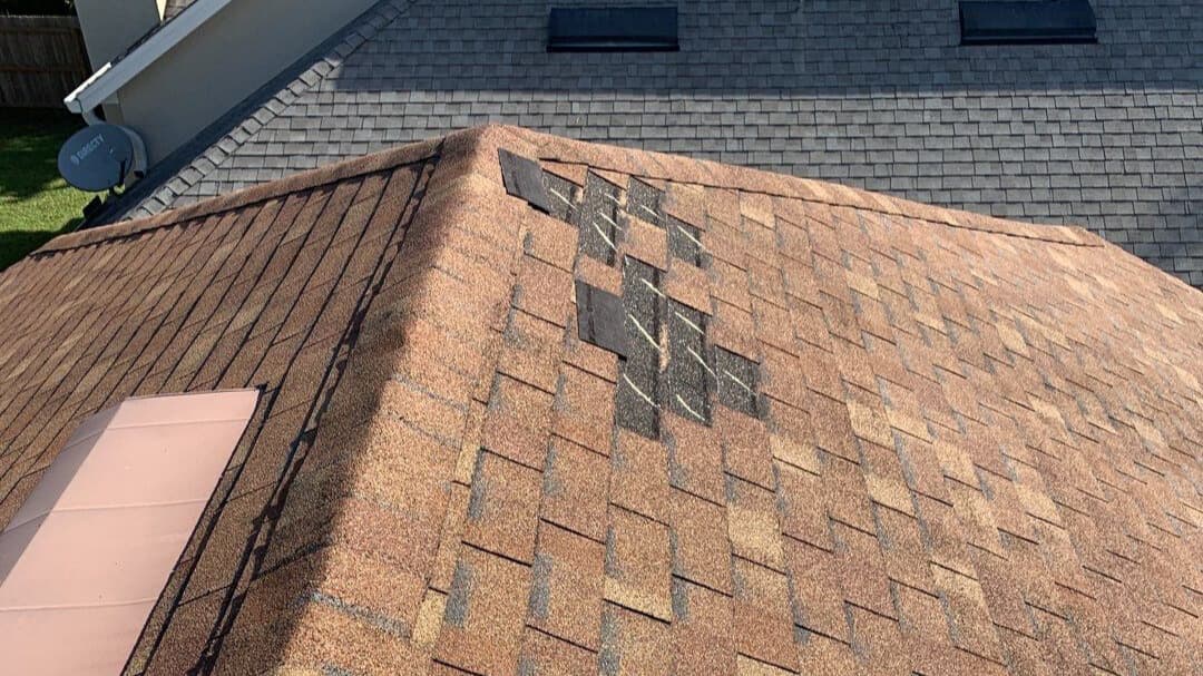
The graphical tropical weather outlook tools available through the National Hurricane Center provide detailed analysis across three ocean basins: the Atlantic, Eastern Pacific, and Central Pacific. These interactive maps allow residents and emergency managers to track developing systems and understand forecast uncertainty. The two-day and seven-day outlooks help communities plan ahead, particularly those in vulnerable coastal areas where storm surge, wind, and rainfall pose significant risks to property and infrastructure. For homeowners in Florida and Texas, this relatively quiet period offers an ideal opportunity to assess property damage from previous storms and file insurance claims if needed. Five Star Claims Adjusting specializes in helping policyholders maximize their storm damage claims, particularly for hurricane and wind-related losses. Whether dealing with roof damage, water intrusion, or structural issues from past events, professional claim assistance can ensure that policyholders receive the full benefits to which they are entitled under their homeowners insurance policies.
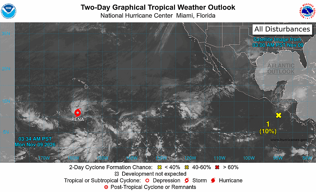
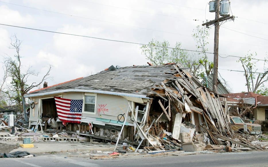
The National Hurricane Center continues to update its forecasts and advisories regularly, with detailed information available through multiple formats including text products, graphical displays, and interactive maps. Residents are encouraged to monitor these resources closely during the Atlantic hurricane season, which runs from June 1 through November 30. Understanding how to interpret tropical weather outlooks, forecast cones, and wind speed probabilities helps communities make informed decisions about evacuation, property protection, and emergency preparedness. As Tropical Storm Pena continues its path through the Central Pacific and forecasters monitor the Eastern Pacific disturbance, the broader message remains clear: hurricane season demands constant vigilance and thorough preparation. For those who have experienced recent storm damage, Five Star Claims Adjusting stands ready to assist with comprehensive damage assessments and claim advocacy, helping ensure that insurance proceeds are maximized for necessary repairs and restoration. Whether your property has suffered from hurricane winds, storm surge, hail, or water damage, professional public adjusting services can make a significant difference in recovery outcomes.
This article has been sourced from press releases and cross-referenced with multiple websites. Facts originally seen at Source.