Gusty Coastal Conditions Continue Through Halloween, With Major Rain Expected Sunday
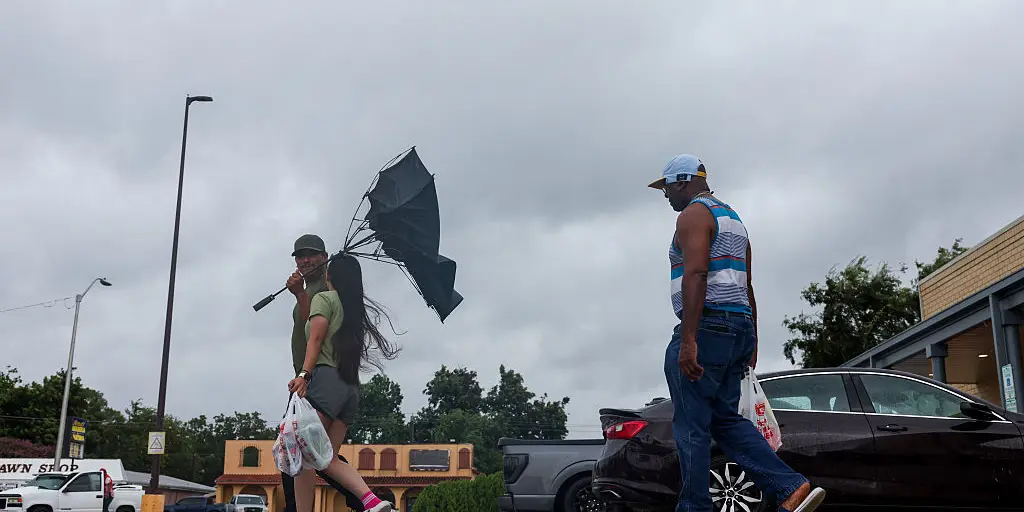
Central Florida faces a mixed weather pattern as Halloween weekend approaches, with gusty northeast winds and coastal impacts dominating the forecast through Saturday before a significant shift toward much wetter conditions takes hold by Sunday. High pressure anchored across the eastern states continues to work in tandem with an offshore area of low pressure, creating a persistent northeast breeze that funnels Atlantic moisture directly into the region.
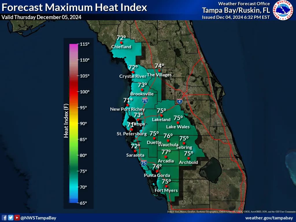
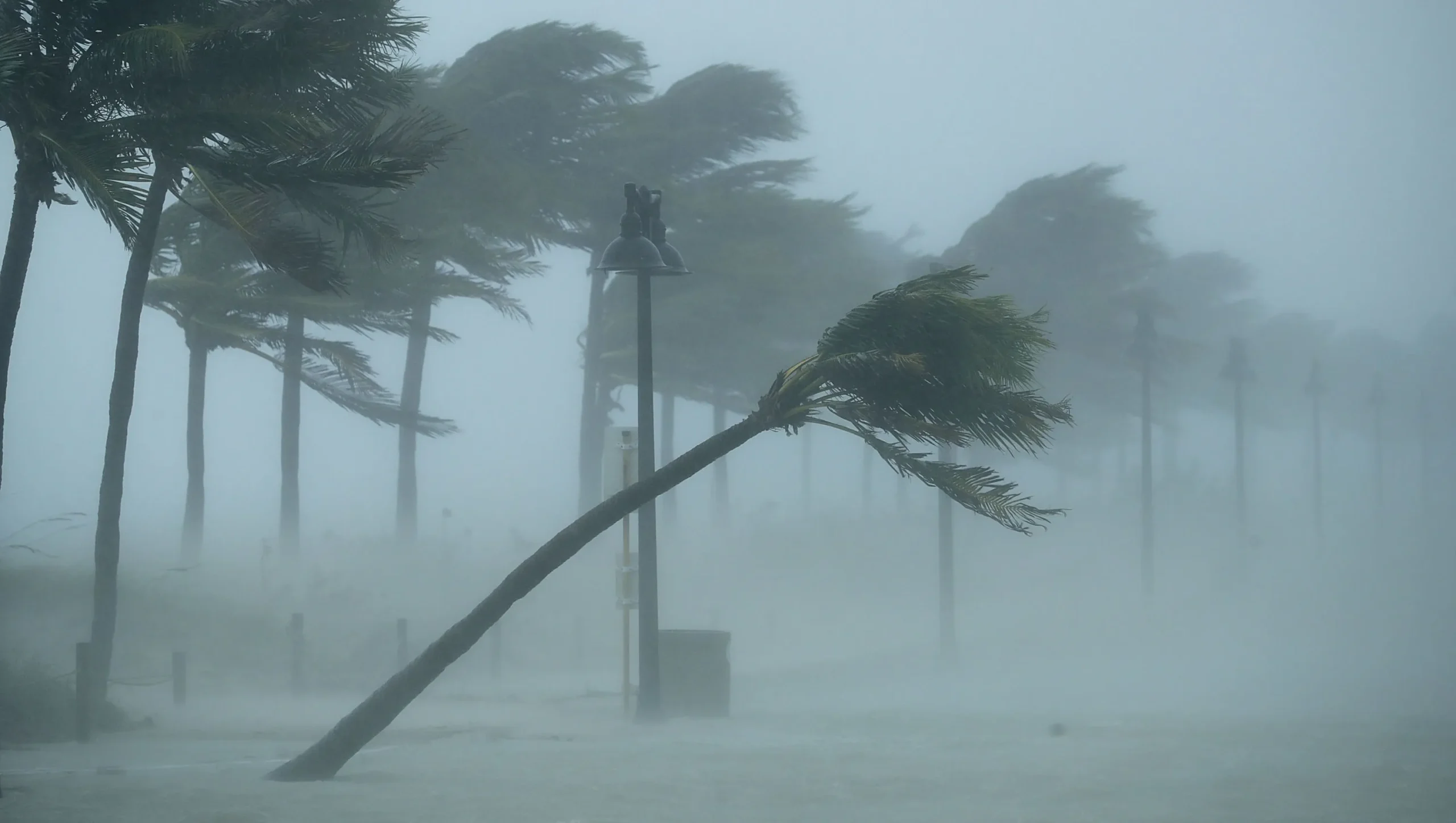
Today and Saturday will see northeast winds holding steady at 10 to 15 mph, with coastal gusts reaching 20 to 25 mph. This onshore conveyor belt keeps passing Atlantic showers in play, maintaining rain chances around 20 to 30 percent along the coast and 15 to 20 percent inland. The moisture trapped in the low levels continues to spark scattered, fast-moving showers that push ashore throughout the day. Halloween trick-or-treaters will find mostly dry conditions Saturday evening, as drier air in the mid-levels nudges in from the north. While a stray coastal sprinkle cannot be completely ruled out drifting inland Saturday evening, widespread rain is off the table, giving families a favorable window for outdoor festivities. Afternoon highs will top out in the lower 80s across the Orlando metro and interior communities, with coastal towns holding around 78 to 80 degrees under the ocean breeze.
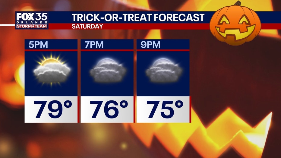
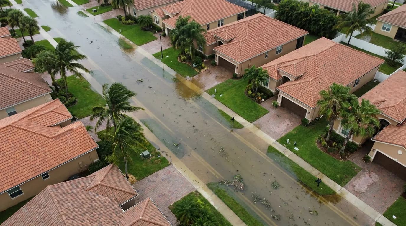
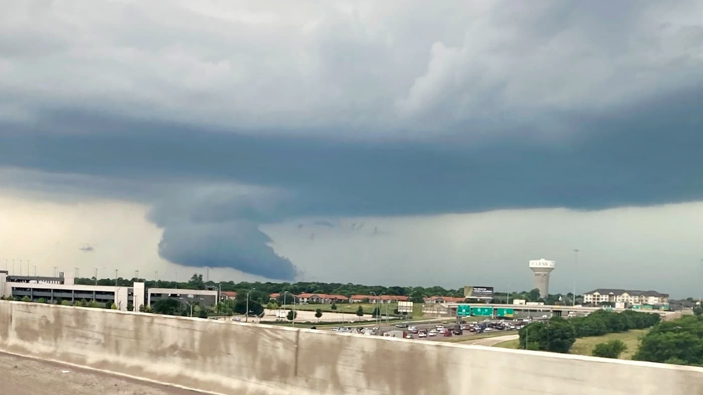
The weather pattern shifts dramatically as the calendar turns to Sunday. A surge of deep tropical moisture combined with a reinforcing disturbance swinging in will send rain chances spiking back up to 60 to 70 percent Sunday into Monday. Widespread showers and embedded thunderstorms will push across the peninsula, with rounds of rain bringing the potential for torrential downpours capable of producing localized street flooding, especially across coastal counties and low-lying spots already saturated from recent activity. A couple of stronger storms could develop, which forecasters will continue to monitor closely. Temperatures will climb into the mid-80s across the metro Saturday and Sunday ahead of the approaching storm system. Dew points will stay elevated, making it feel noticeably sticky and warm for anyone in costume Saturday evening. Overnight lows remain mild in the upper 60s for the metro, mid-60s for northwest counties like Marion, Lake, and Sumter, and holding in the lower 70s along the coast.
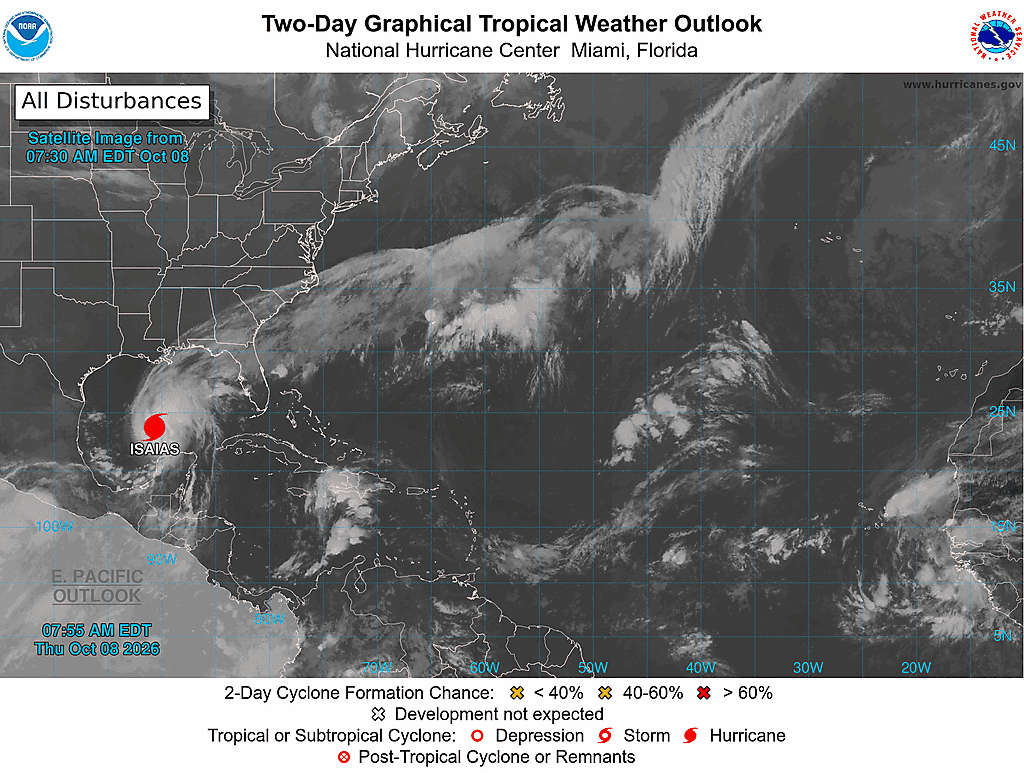
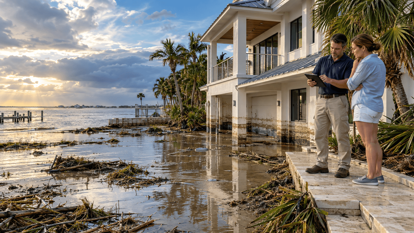
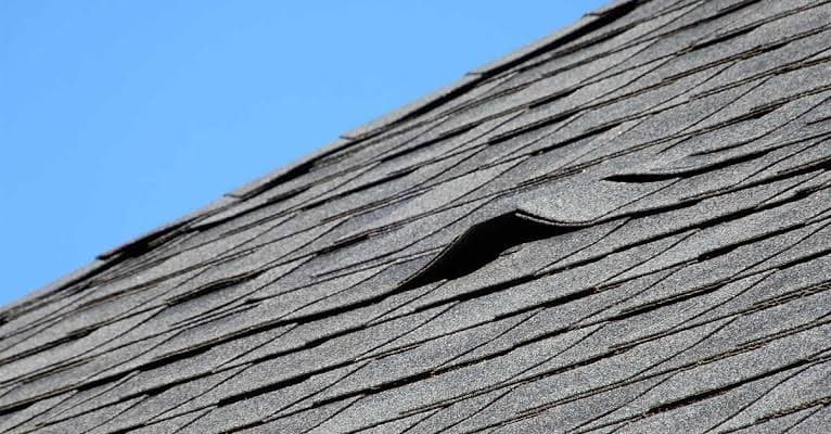
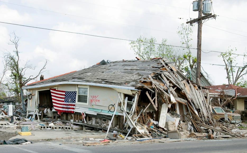
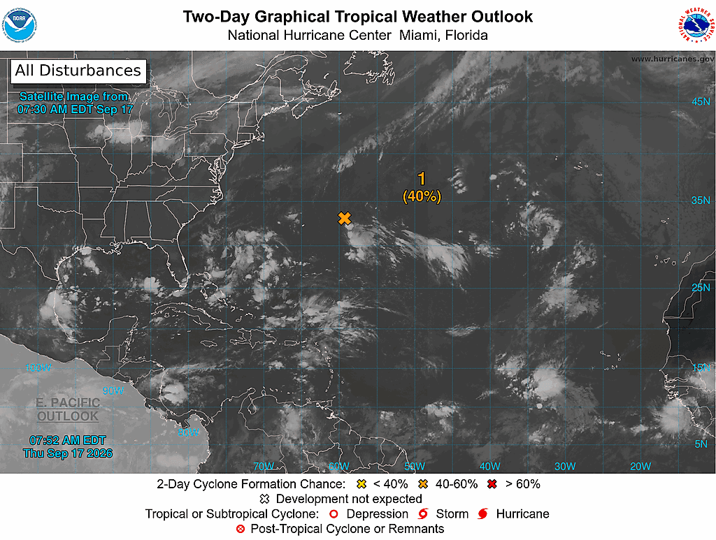
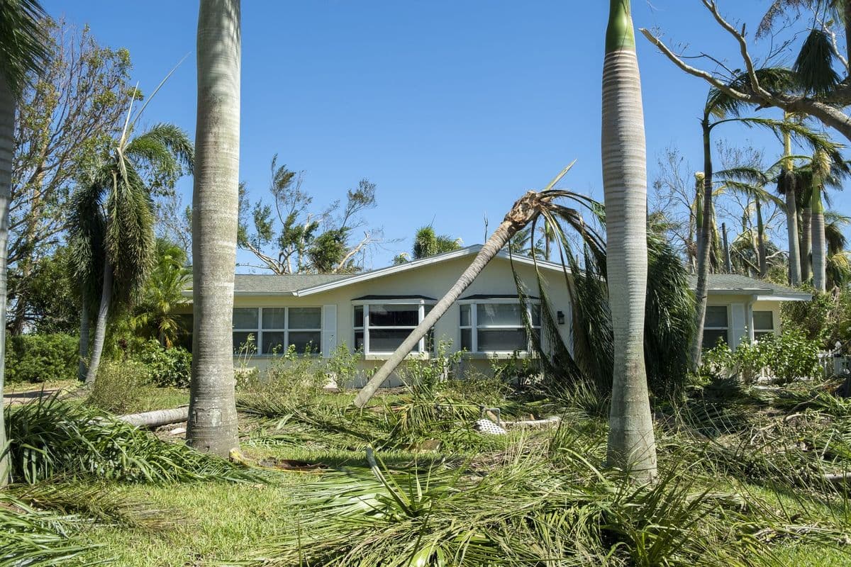
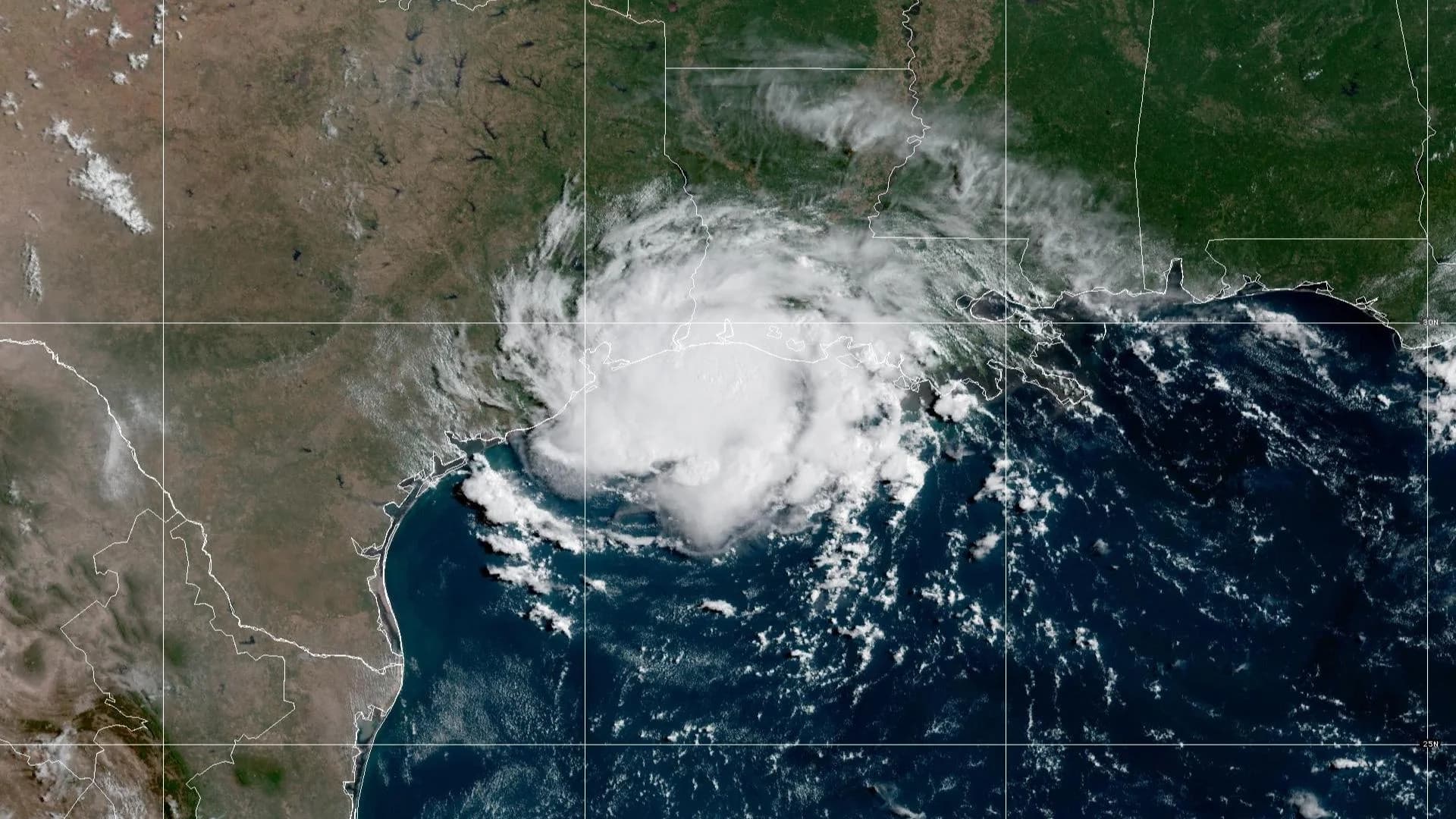
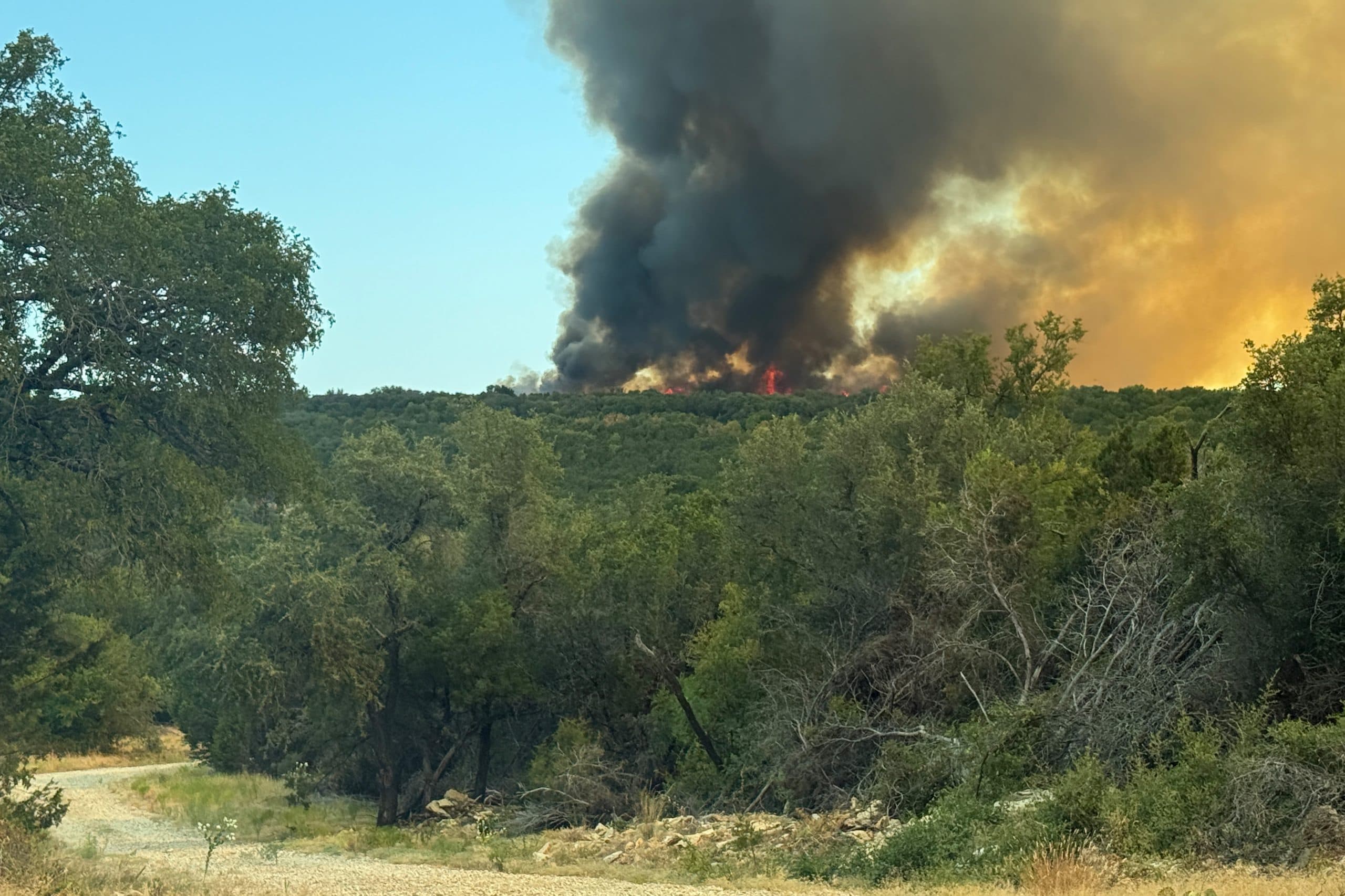
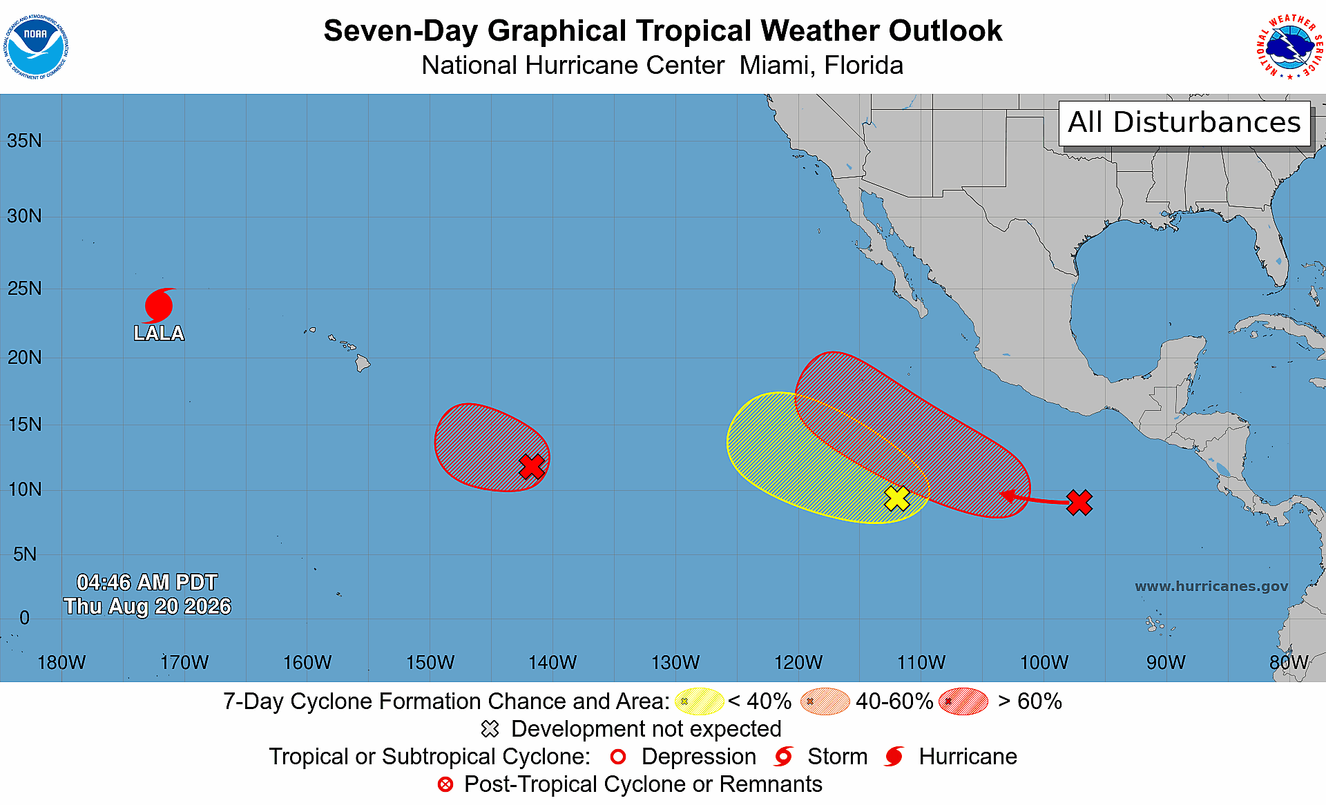
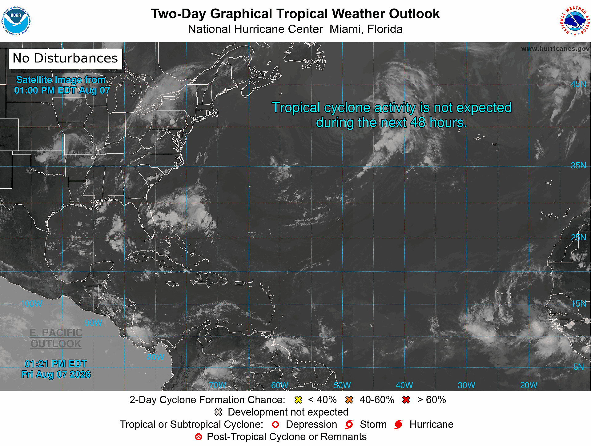
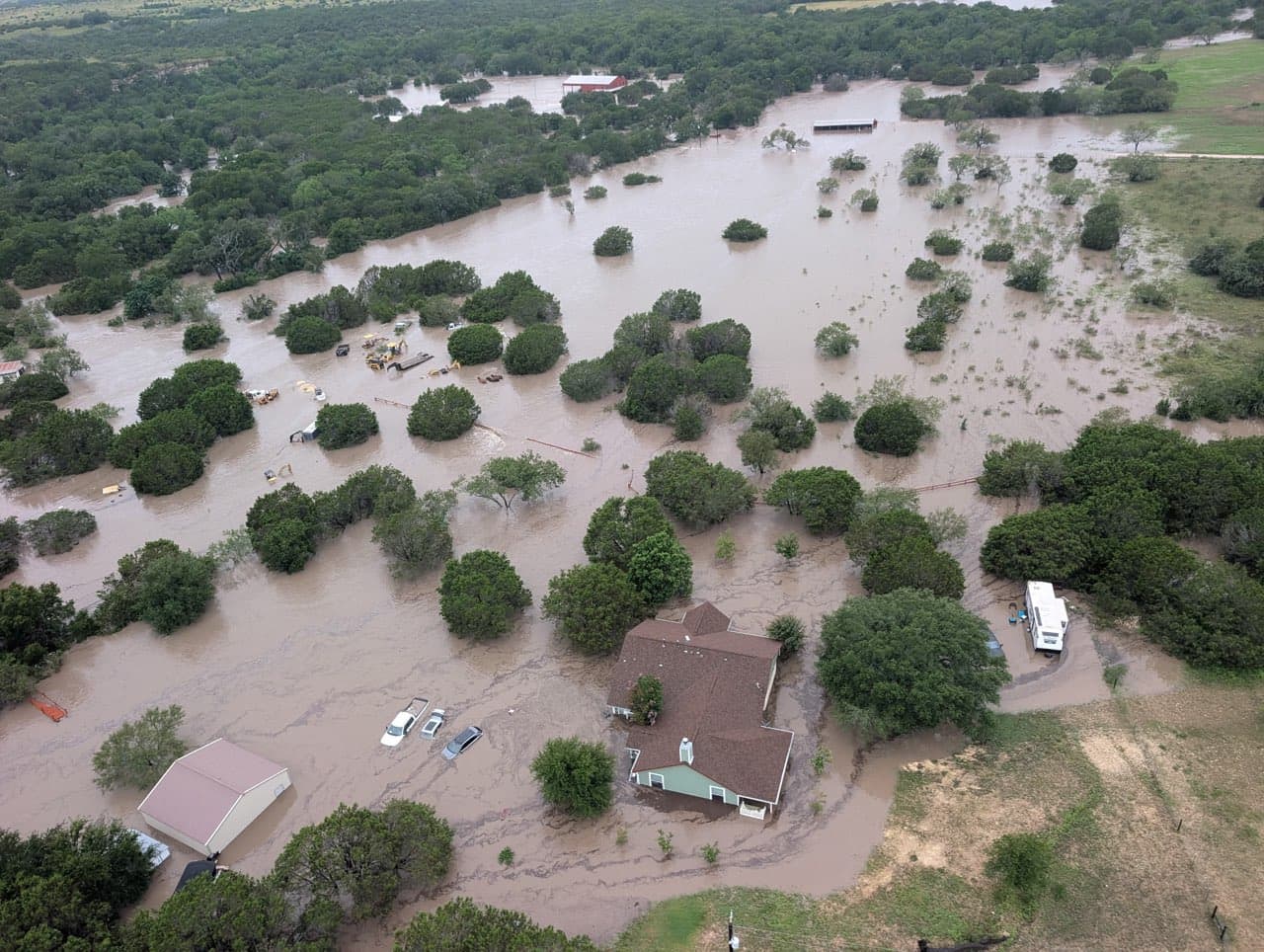
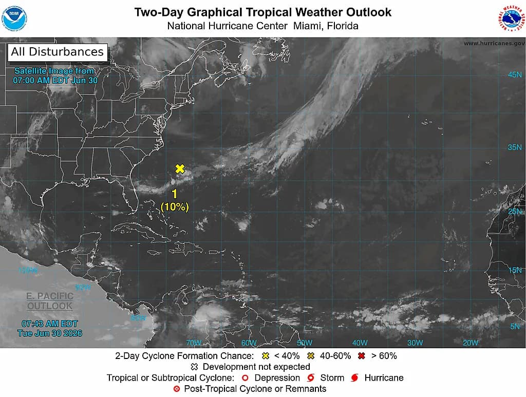
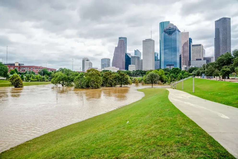
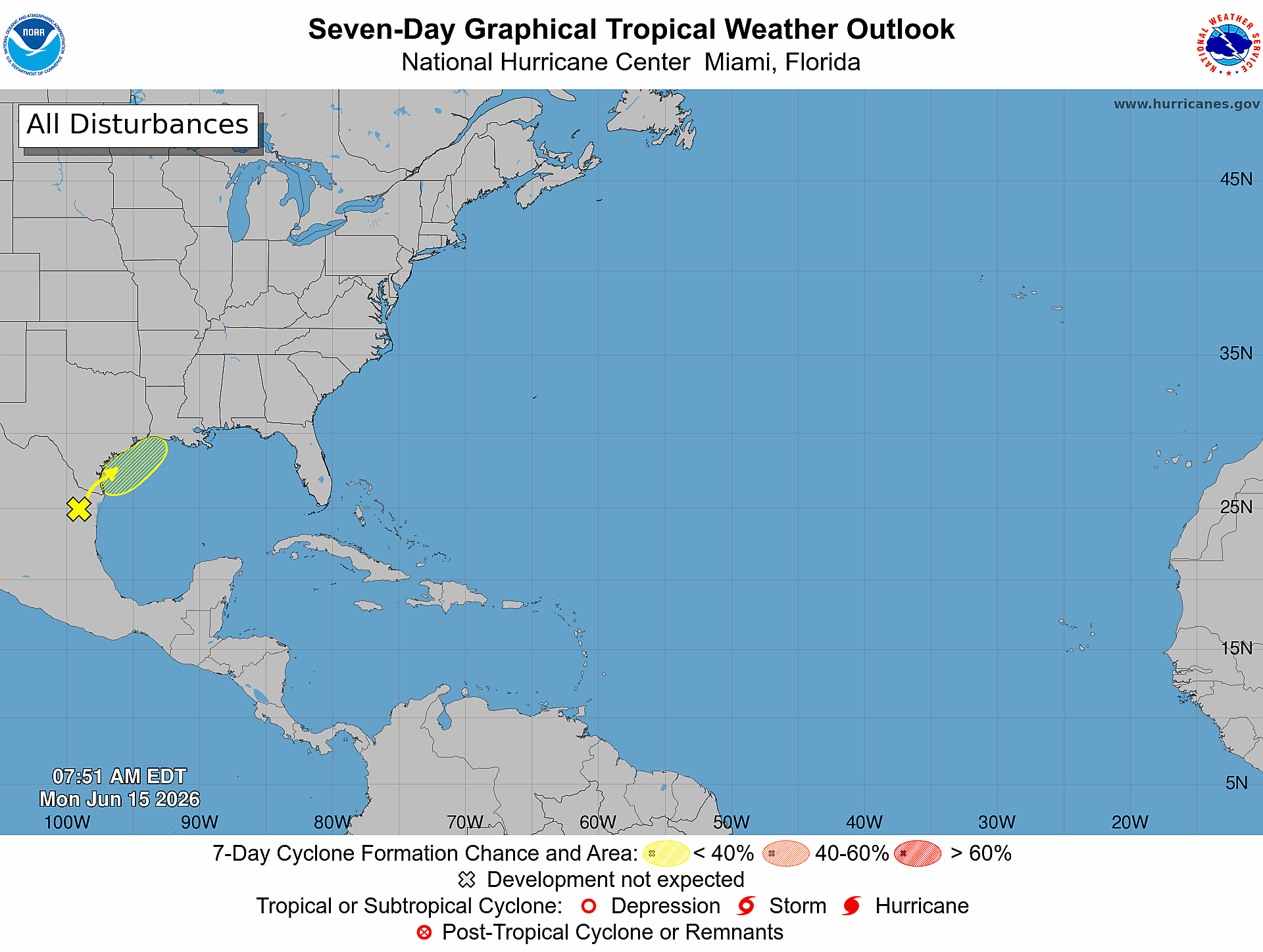
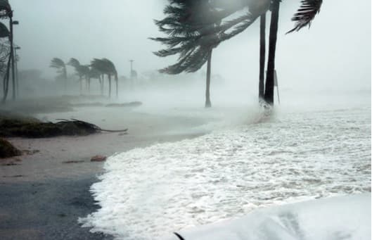
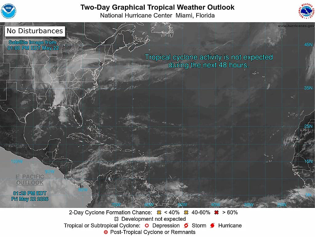
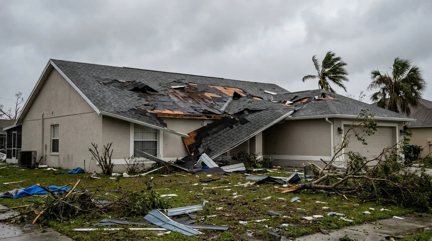
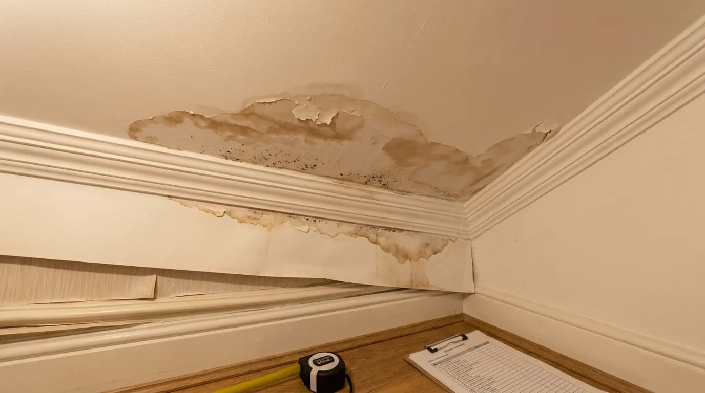
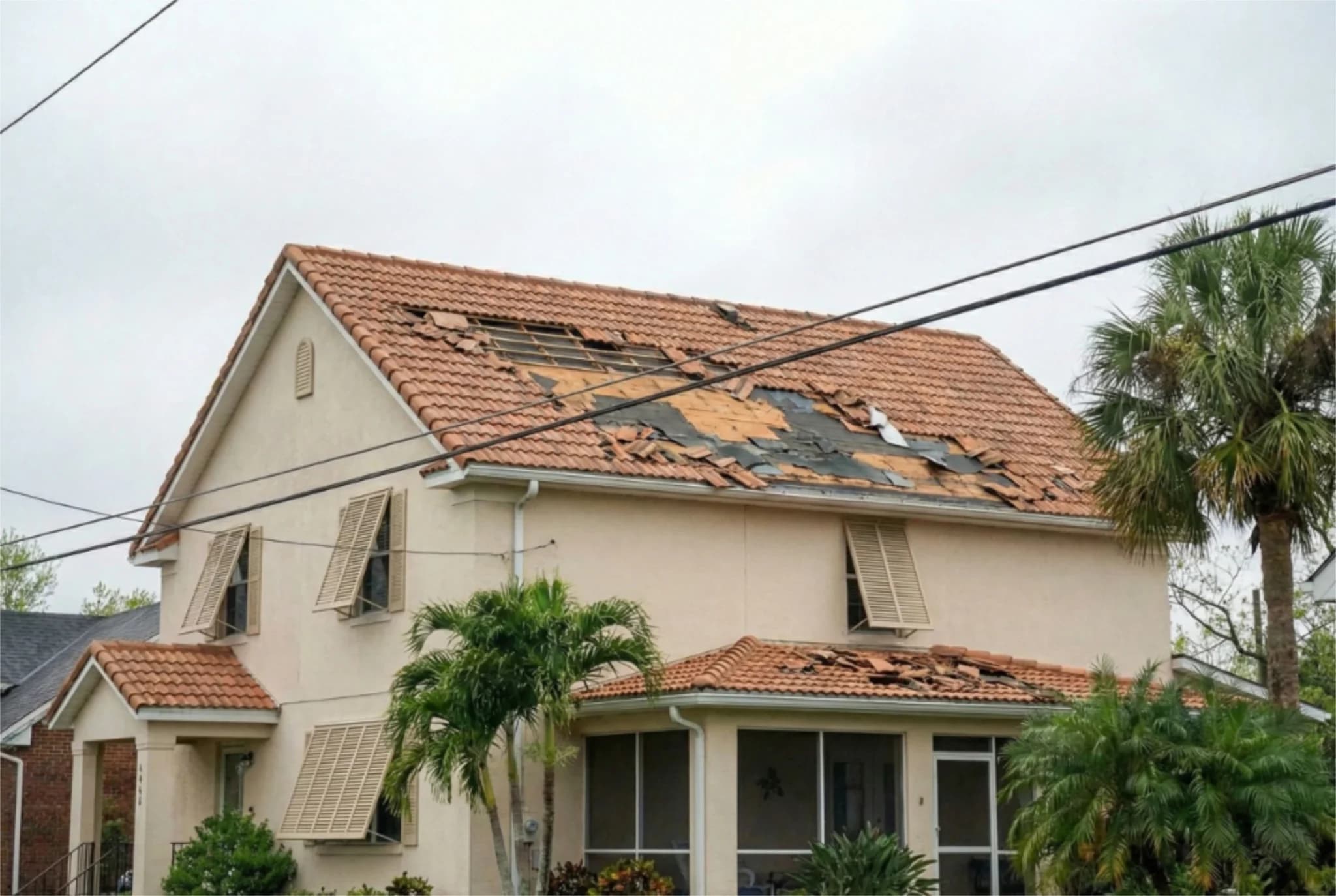
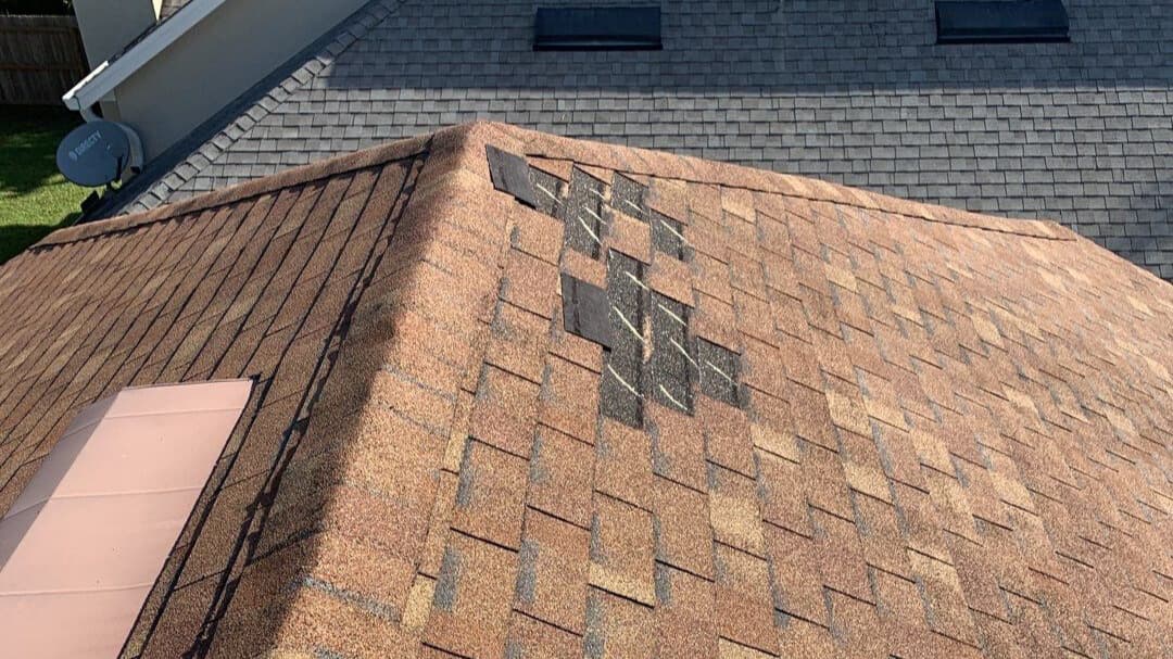
Marine conditions are slowly trending downward from peak gale conditions, but coastal hazards remain significant. A Small Craft Advisory remains in effect as offshore seas hover at 5 to 9 feet, building slightly back to 6 to 10 feet this weekend as easterly winds freshen. Coastal Flood Advisories remain posted through Saturday, with minor flooding still possible during high tide. Entering the ocean is strongly discouraged due to rough surf, lingering beach erosion, and a high risk of rip currents. The Atlantic basin remains completely quiet with respect to tropical threats. The National Hurricane Center expects no tropical cyclone development across the Gulf, Caribbean, or Atlantic over the next seven days. Pockets of dry air and unfavorable upper-level winds continue to squash any tropical organization, leaving zero tropical threats to Florida or the U.S. mainland. For property owners in Florida and Texas concerned about storm damage, Five Star Claims Adjusting stands ready to assist with comprehensive damage assessments and claim maximization services. Whether facing wind damage, water intrusion, or other weather-related property impacts, Five Star's team of experienced public adjusters can help ensure your insurance claim reflects the full extent of damage and your policy's coverage limits.
This article has been sourced from press releases and cross-referenced with multiple websites. Facts originally seen at Source.